
About the Podcast

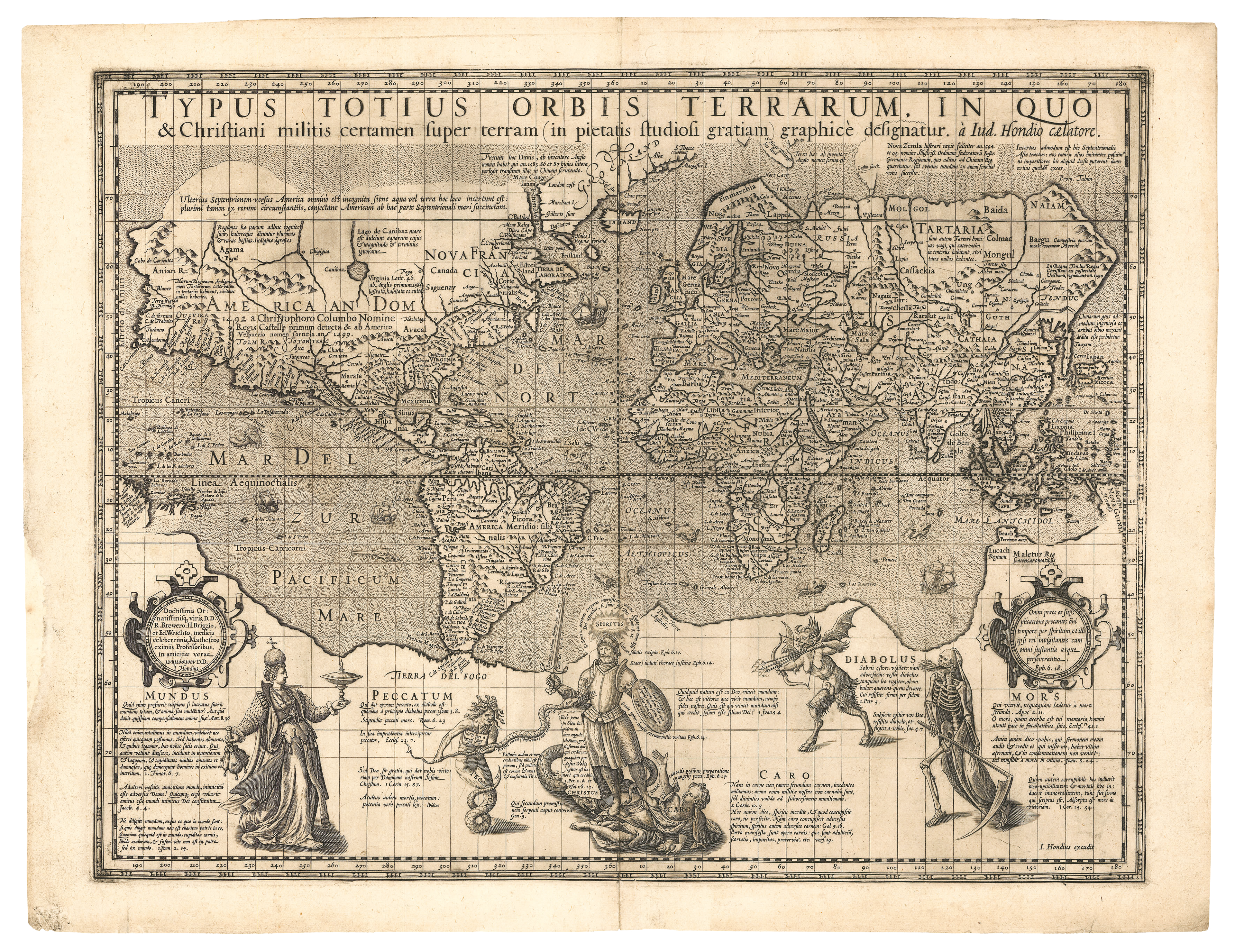
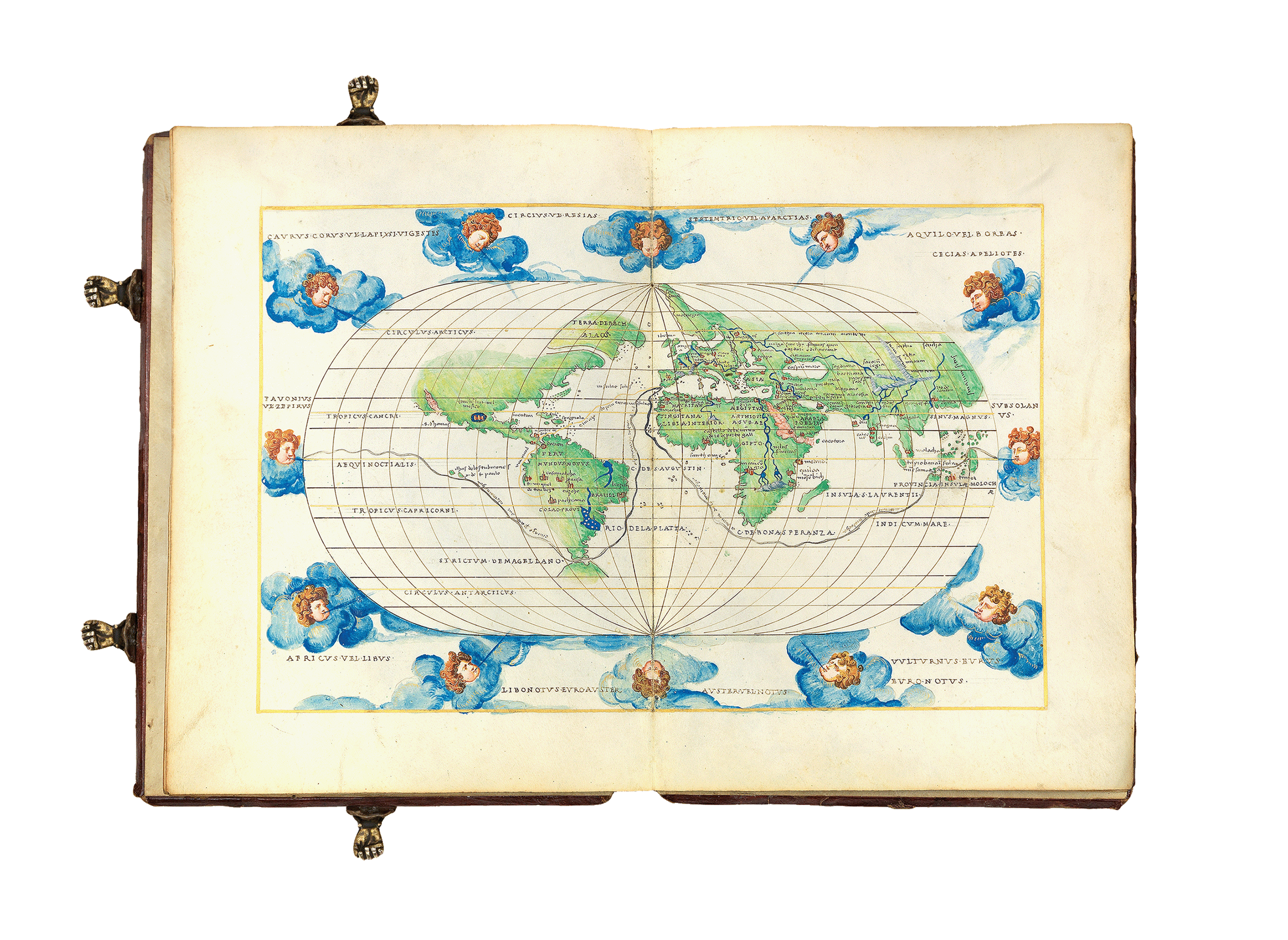
From etchings on walls to sea charts, globes and atlases, humans have been making maps for thousands of years. They trigger the imagination, tell stories, record data, assert power, describe universes and belief systems, and showcase beautiful craftsmanship.
Explore this endlessly fascinating world in our podcast WHAT’S YOUR MAP? – hosted by historian and writer Jerry Brotton. Immerse yourself in the world of maps and mapping, as Jerry meets a range of guests who share their stories and the maps that inspire them.
Combining personal narratives with historical context, WHAT'S YOUR MAP? takes you on a fun and highly eclectic journey of discovery.
Guests bring their varied perspectives to a series of lively and unexpected discussions with Jerry, who has been writing about history and cartography for over twenty years.
As you listen to each episode, you can zoom in to explore each of the maps discussed, learn all about our incredible and eclectic guests, and find even more rabbit-holes to go down here on Oculi Mundi.
In 2025, WHAT'S YOUR MAP? debuted its first live episodes with a sold-out event held at the British Library in London. As part of the Library's programming to accompany their exhibition, Secret Maps, Jerry spoke with historian and broadcaster Nick Crane and UK Chief Scout Dwayne Fields. You can find out more here.
The podcast will be appearing for the first time at the fantastic Hay Festival on the evening of 27 May 2026. Join us on the Discovery Stage as Jerry is joined by Tim Marshall, David Olusoga, and Emma Jane Unsworth. Book your tickets here.
Let's explore!

We are very proud to announce that WHAT'S YOUR MAP? was awarded Gold for Education at the British Podcast Awards 2025.
Huge congratulations to Jerry who won Bronze at The Audio Producers Association Awards 2025, in the Best Presenter category sponsored by Everybody Media


Series 1:
- Do No Harm: Mapping the Jain Cosmos with William Dalrymple
- A Journey to the Top of the World with Dwayne Fields
- The Heart of Maps: Plotting Imagery and Power with Peter Barber
- Tolkein's Pipe: Maps and Fantasy with Roz Kaveney
- Lost Treasures: Reconstructing Al-Idrisi with Adam Lowe
- Vintage Cartography: Mapping the World of Wine with Jane Anson
Series 2:
- Wherefore the Map? with Ed Parsons
- Lines that Divide: The Melancholy of Colonial Mapping with Sathnam Sanghera
- Riches and Rivalry: The Evolution of European Cartography with Matthew Edney
- The Wonder of the Stars with Heidi B. Hammel
- Venice to Jappangu: Fra Mauro's World Map with Michael Yamashita
- Mapping Songlines with Margo Neale
Series 3:
- One World, One Ocean ... One Climate with Elizabeth Hogan
- Introducing Geographical Storyteller Louise E. Jefferson with Iris Taylor
- The Society of Cells: Brainbow Mapping with Jeff Lichtman
- WWII and the Dangers of Cartographic Lethargy with Susan Schulten
- Wild, Native, Extant - Exploring Emotional Geography with Anton Thomas
- Encountering Polar Bears and the Unknown with djoeke van Netten
Series 4:
- Silver Sails: Following the Galleon Route with Dr. Katie Parker
- Encountering the Big River with Hannah Claus
- Fighting the Robber of Youth with Dr. Animesh Sinha
- Smuggling Silk: WWII Escape Maps with Dr. Barbara A. Bond
- Out of the Cave: Encounters and Anima with Dr. Jago Cooper
- From Meadow to Metropolis: Mapping a World of Sound with Michaela Vieser
What's Your Map? LIVE:
- Manoeuvres along the Meridian: Live at the British Library with Nicholas Crane
- Lessons in Scouting: Live at the British Library with Dwayne Fields and Caroline Pantling

What's Your Map? is produced by Emily Uchida Finch of the award-winning studio Whistledown Productions, the makers of The Great Post Office Trial and Our Broken Planet (BBC Four). Whistledown was founded over twenty years ago and is one of the UK’s leading independent audio production companies.
All views and opinions expressed by guests on the podcast are entirely their own and do not represent those of The Sunderland Collection or Whistledown Productions.


Sign up to the Oculi Mundi Newsletter