Accessibility
Hello, fellow traveller!
Here you can find information about the key Accessibility features of Oculi Mundi — the Eyes of the World - the online home of The Sunderland Collection.
Accessibility Statement
Oculi Mundi is for everyone and aims to be as accessible as possible.
It should run smoothly on different Internet speeds and has been designed to be used on mobile phones, tablets, laptops, and PCs.
Accessibility toggles, buttons, and captions have been built into the entire platform, for users who prefer varying sizes of fonts, contrast, less or no animation, voiceovers, captions, and Alt Text.
The Oculi Mundi Team reviews the website regularly: we work closely with our technical partners to make all webpages, functionalities, and content accessible and compliant to international access standards.
Oculi Mundi recognises that parts of the platform are not yet fully accessible but strives to offer alternative access solutions until they becomes available in the near future.
If you experience any problems accessing Oculi Mundi or would like to suggest improvements, please Contact Us. We would love to hear from you!
Animations and Videos
The Introduction, Gallery of Spaces (main navigation), and the Exhibitions areas of the website all feature animated graphics. Adjustments are being implemented that will mean these animations can be paused by users. This pause button will be located in the lower right corner of your screen. In the meantime, you can use browser accessibility extensions to control these animations.
All videos on Oculi Mundi provide the option to have closed captions. You can turn this on by clicking the 'CC' button in the control bar on the video player.
Collection Environments
We want to make the Collection as accessible as possible for study or the simple joy of browsing. For that reason, you will find two environments for viewing the Collection: Explore and Research.
Explore mode presents beautiful images of the works in a cluster, where you can browse and filter using the navigation bar in the lower centre of the page. You can peek inside the atlases and books to see internal maps and plates; you can view items at scale, and zoom in at super high resolution. An overview of each object is provided in text which you can find in a pop out panel by clicking 'Information'. When using a desktop this will appear on your right, in a phone this will fill the screen. If the Collection item has multiple images and pages, you can scroll through these using the left and right arrows on the carousel.
In Research mode, the Collection's objects are displayed in a more traditional way but the functions are the same. You can filter or browse, view internal pages, and see items to scale. In this mode, full catalogue information is provided about each object.
When using a desktop in Research mode, you can also expand the size of the panels for easier viewing. Click the darker inside edge of the panel to expand or collapse it, and if you need more space, click and drag toward or away from the edges of the screen for a customised view.
Need more information about an item in the Collection, such as a text page from an atlas? Contact Us.

Stories
Here, we feature articles and videos of different lengths, on all kinds of themes relating to ancient cartography, Collection Highlights, the Art Programme and information about our Limited Edition Prints. Scroll through the universe of Map Stories and Collection Stories, and click on a tile to find out more.
To begin, why not check out How to Read a Map and How Maps Were Made!
If you have a great idea for a story or would love to know about a specific topic or item from the Collection, please let us know by contacting us.

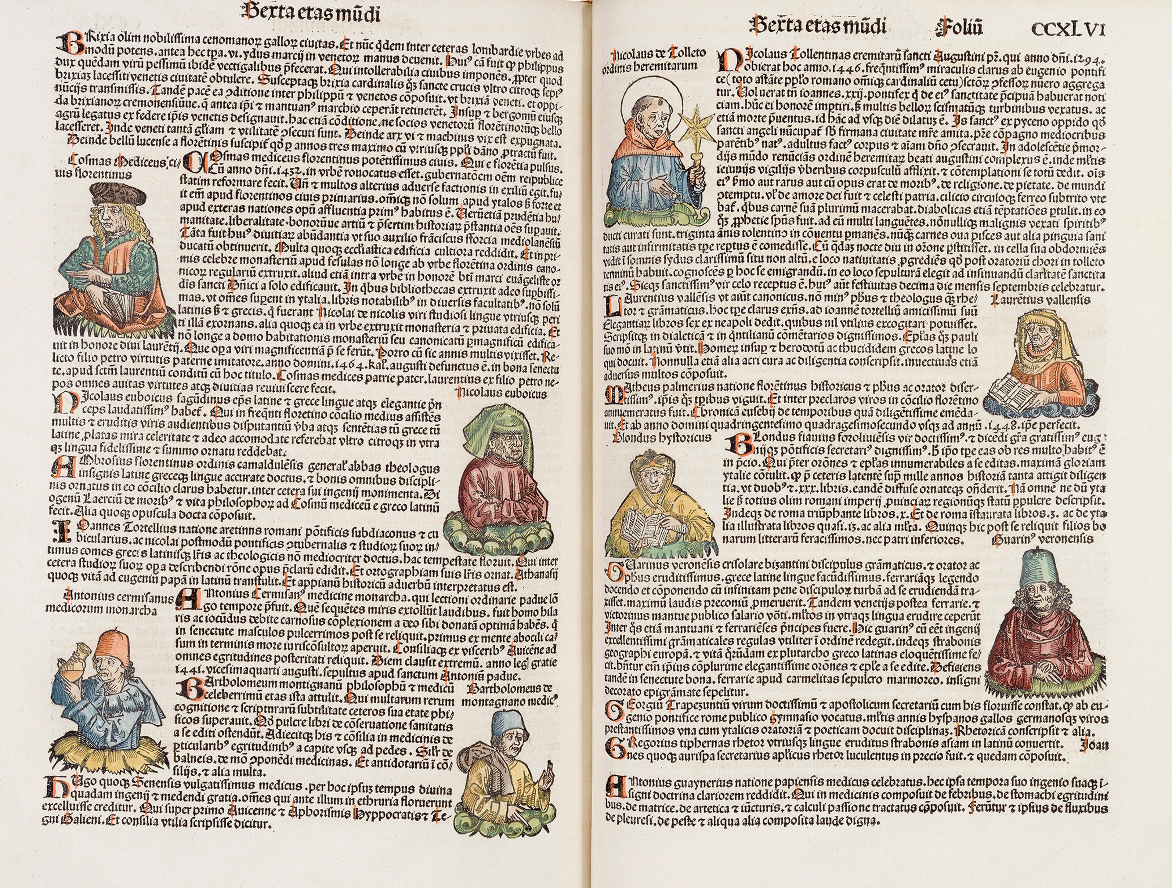
Mapmaker Matrices
Within our Stories, one article has images with interactive features: Mapmaker Matrices. This story illustrates the connections between items and cartographers in the Collection.
On this page there are three diagrams, or matrices, each accompanied by a description of what they show and an accompanying carousel of portrait images featuring a selection of the figures mentioned.
To view each of these three matrices, all you need do is open each image by using the black expand icon in the lower right of the image. Once opened into a full screen image, you will be able to use the zoom function to explore them. Across the image are portraits of prominent figures from the intellectual world throughout history. These are arranged in chronological order, with time periods listed and indicated using colour banding.
Between the portraits of the mapmakers, there are white lines which have small circular, clickable icons on them. When activated, these open out to text panels (in the right of the page on a desktop), each describing the nature of the connection. You can exit these using the small 'x' in the upper right corner of each panel. These panels are screen-reader compatible.
If you would like to view these with fewer gestures, once the image is open you can use the 'tab' button on your keyboard to be guided through the points on the matrix. This will zoom in on the connections between the people, and by using the 'enter' key to open and close the text panels on this whistle-stop tour of cartographic history.
We will work to improve the accessibility of these features, but in the meantime, please Contact Us if you have questions or issues viewing this page.
Exhibitions and Events
You can find details of past and future exhibitions, institutional loans, panel discussions, Sunderland Symposia and much more right here on Oculi Mundi.
You can switch between the Online and Physical using the toggle at the bottom of the screen when looking at the Exhibitions and Events menu.
This is also where we will be sharing the programmes and registration links for upcoming events, so keep an eye on this part of the platform, and sign up to the Oculi Mundi Newsletter.
Oculi Mundi has also a special interactive digital gallery spaces for online exhibitions. These are hosted in parallel to physical exhibitions for each artist participating in the Art Programme and other curations.
These gallery spaces are easy to move through by using the navigational toggles in the lower part of the screen, and you can use your cursor to explore each curated space, click on artworks, text panels and videos for a larger view.
If you would like an accessible static view of the gallery space, which contains all of the imagery and information but lacks the animation, click 'Overview' and this will present the exhibition in a simple, scrollable layout.
A pause button will soon be added to these spaces to stop the animation.
Podcast
You can find every episode to our award-winning podcast, WHAT'S YOUR MAP? on Oculi Mundi.
Explore this endlessly fascinating world in our podcast which is hosted by historian, writer and map expert Jerry Brotton. Immerse yourself in the world of maps and mapping, as Jerry meets a range of guests from around the world who share their stories and the maps that inspire them.
Each episode has a dedicated page so as you listen, you can zoom in to explore each of the maps discussed, learn all about our incredible and eclectic guests, and find even more rabbit-holes to go down here on Oculi Mundi.
At the top of each page, there is a handy player so you can listen to each episode as you read, or click on the platform icons for a specific app.

References
The ancient map world is huge! We have provided a References area that presents helpful background information and context.
In this section, you can find biographies of map-makers and other characters, look up terms in the Glossary, and explore our Timeline, which shows the items from The Sunderland Collection in order of time, alongside famous historical events. You can use the 'Tab' button on your keyboard to scroll through the items / people in these references pages.
More features and content will be rolled out over time — sign up to our Newsletter to be the first to know!