Jost Schmid
Series 6 Episode 1
Travelling Backwards with Dr. Jost Schmid
Series 6 Episode 1
Available on all major podcast platforms: click the icons or hit 'play' to listen now.
In the first episode of series six, Jerry speaks with Dr. Jost Schmid, the Head of Maps and Panoramas at the Zentralbibliothek Zürich (Zürich Central Library), where he specialises in historical geography.
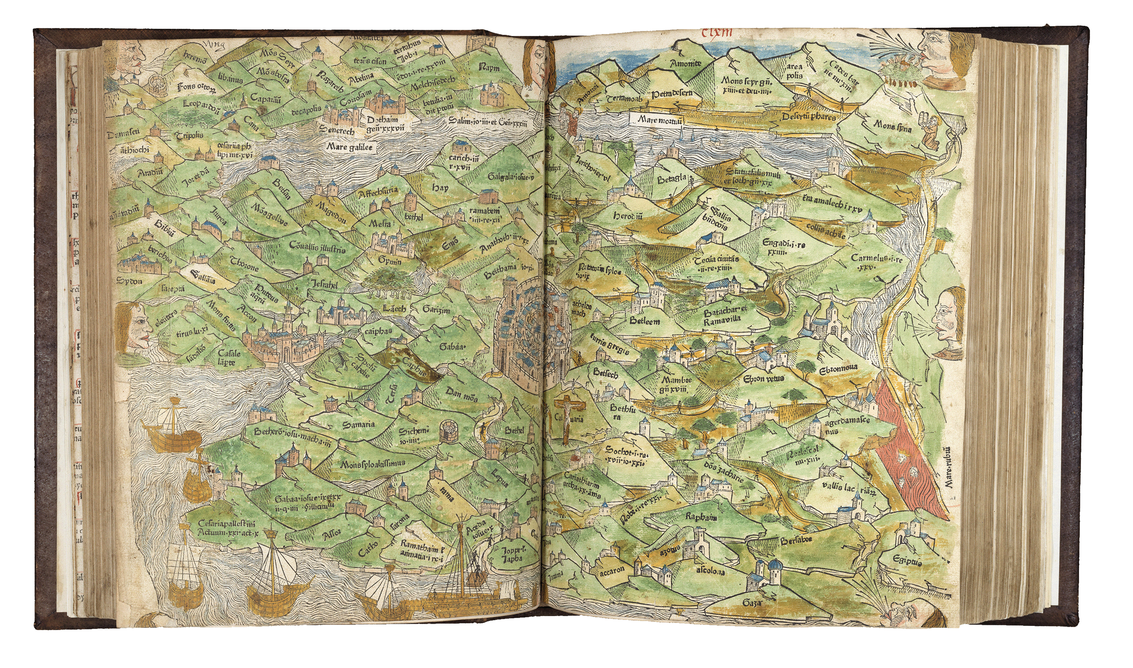
Jost’s chosen map is 500 years old, one of the earliest printed maps bound into a bible and the first map to be printed in Zurich, Switzerland.
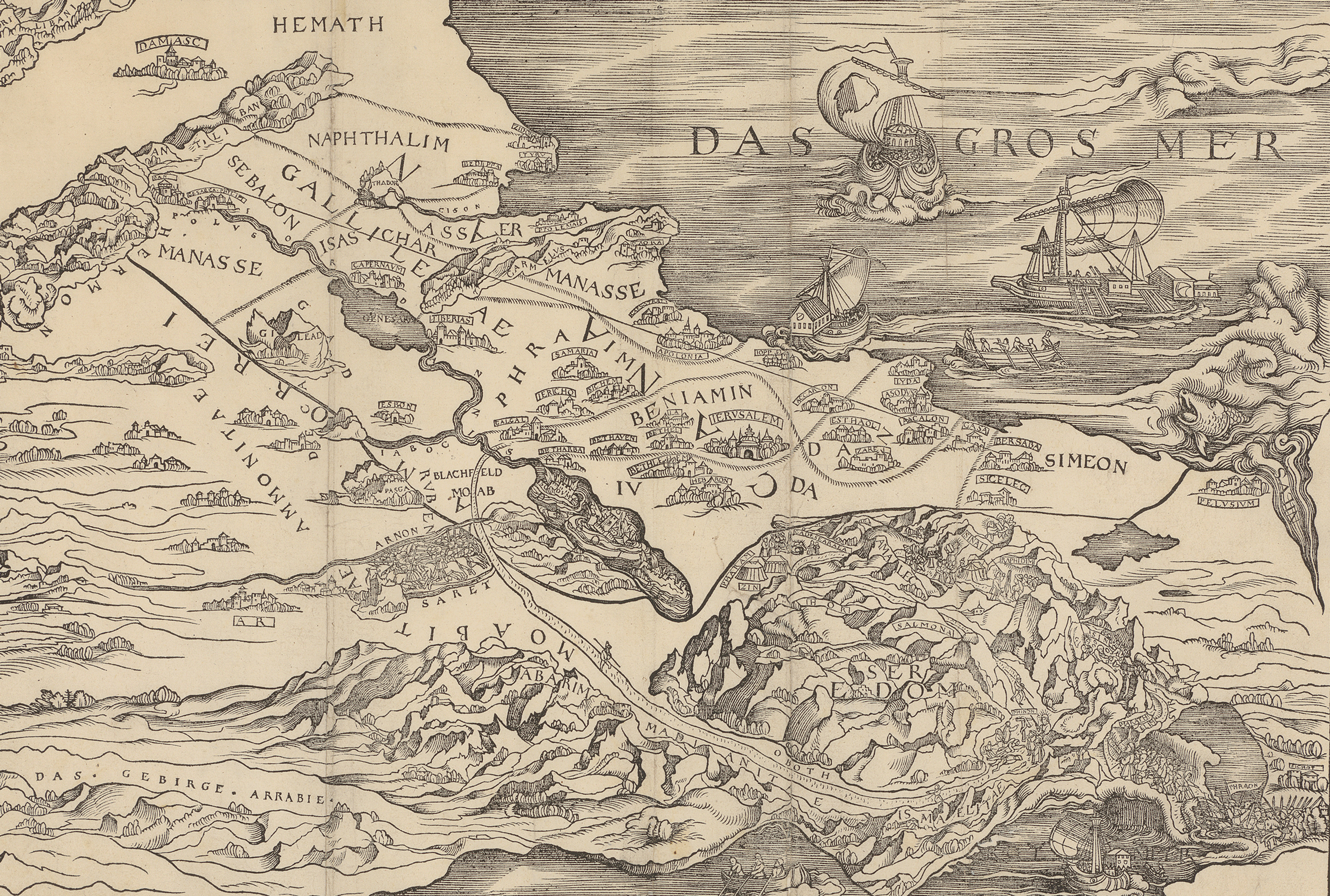
The map, which has been printed in mirror image, depicts the biblical stories of the Old Testament set in the Holy Land - a region in Western Asia covering modern-day Syria, Palestine and Israel, and parts of Jordan and Egypt. Crafted by Swiss humanist scholar, cartographer and prominent figure in the Protestant Reform Joachim Vadianus (1484-1551), this remarkable map draws directly from a six-sheet original by Renaissance painter and printmaker Lucas Cranach the Elder (1473-1553).
Printed by the renowned Swiss publisher Christopher Froschauer (1490-1564) for inclusion in his 1515 Bible, it stands as one of three known surviving copies!
In their conversation, Jost and Jerry explore the convergence of real and fantastical cartography, maps of sacred spaces, and the emergence and evolution of borders in early mapmaking. They also discuss the imaginary realms depicted in legendary tales, and how maps served as useful tools on metaphysical pilgrimages or journeys.
Explore the map as you listen along by clicking the image below:
Vadianus’ map of the Holy Land, after Lucas Cranach the Elder. From Christopher Froschauer’s Old Testament (1525, Zürich). ©Zentralbibliothek Zürich.
This striking woodcut map depicts the Holy Land, extending from the mouth of the Nile River in Egypt to Damascus in modern-day Syria.
Viewers may quickly become disoriented upon noticing that the geography is depicted in reverse. This error likely occurred because the European woodcutter tasked with printing the map lacked any familiarity with Western Asian geography to recognise the mistake. Additionally, the printmaking process required cutting a mirror image of the reference map directly onto the woodblock. You can learn more about the woodcut technique here.
Despite this significant error, the map made reading scripture more accessible, effectively ‘turning the Bible into a book of the Renaissance’ (Nathan MacDonald, University of Cambridge, 2025).
Key Biblical settlements - such as Jerusalem, Bethlehem, Nazareth, and Jericho - are pinpointed across the terrain. Rich visual vignettes bring key Old and New Testament narratives to life, including Moses on Mount Sinai, the parting of the Red Sea, the fierce battle of the Israelites and the Amorites led by King Sihon, and the destruction of Sodom and Gomorrah.
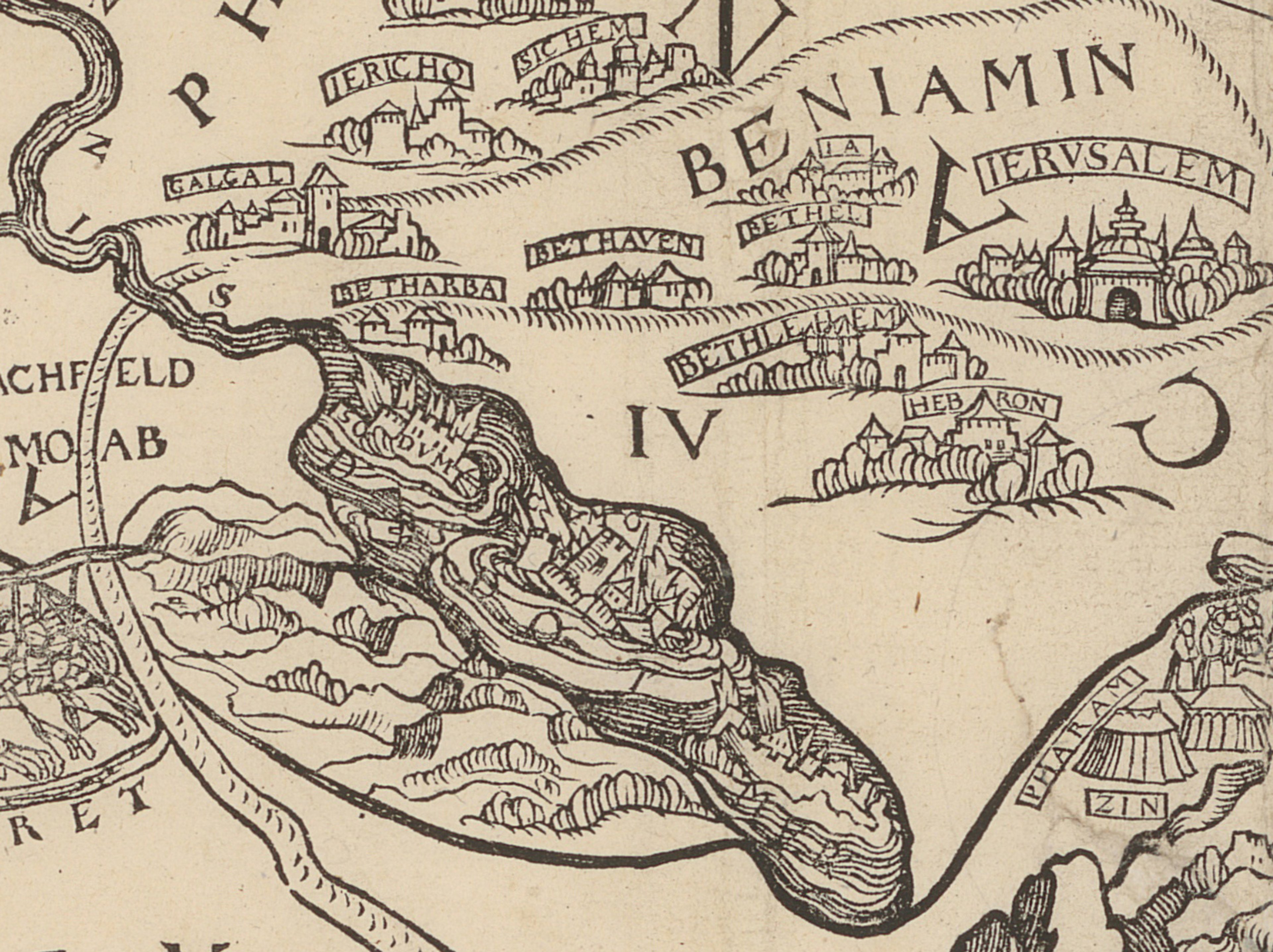
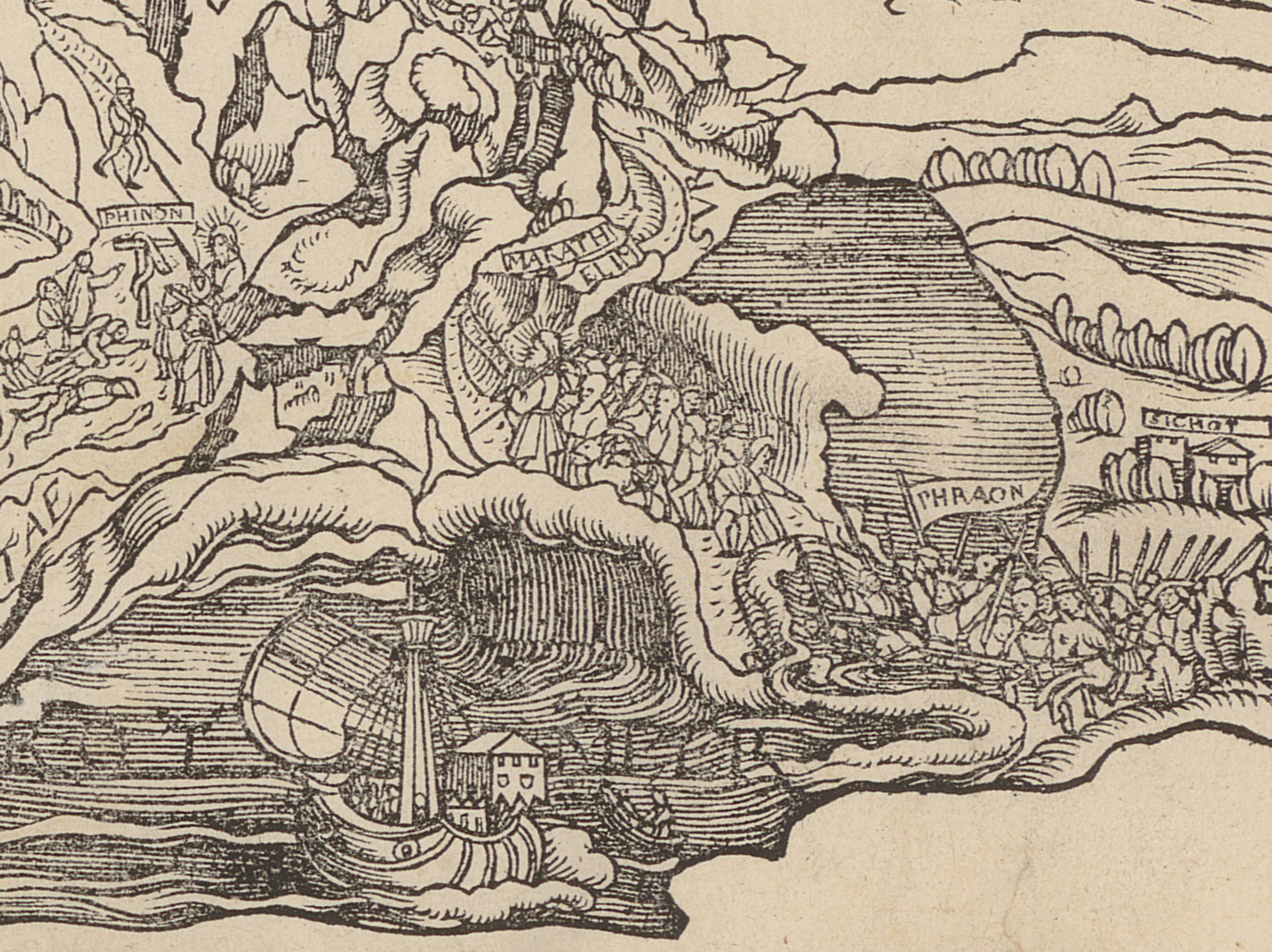
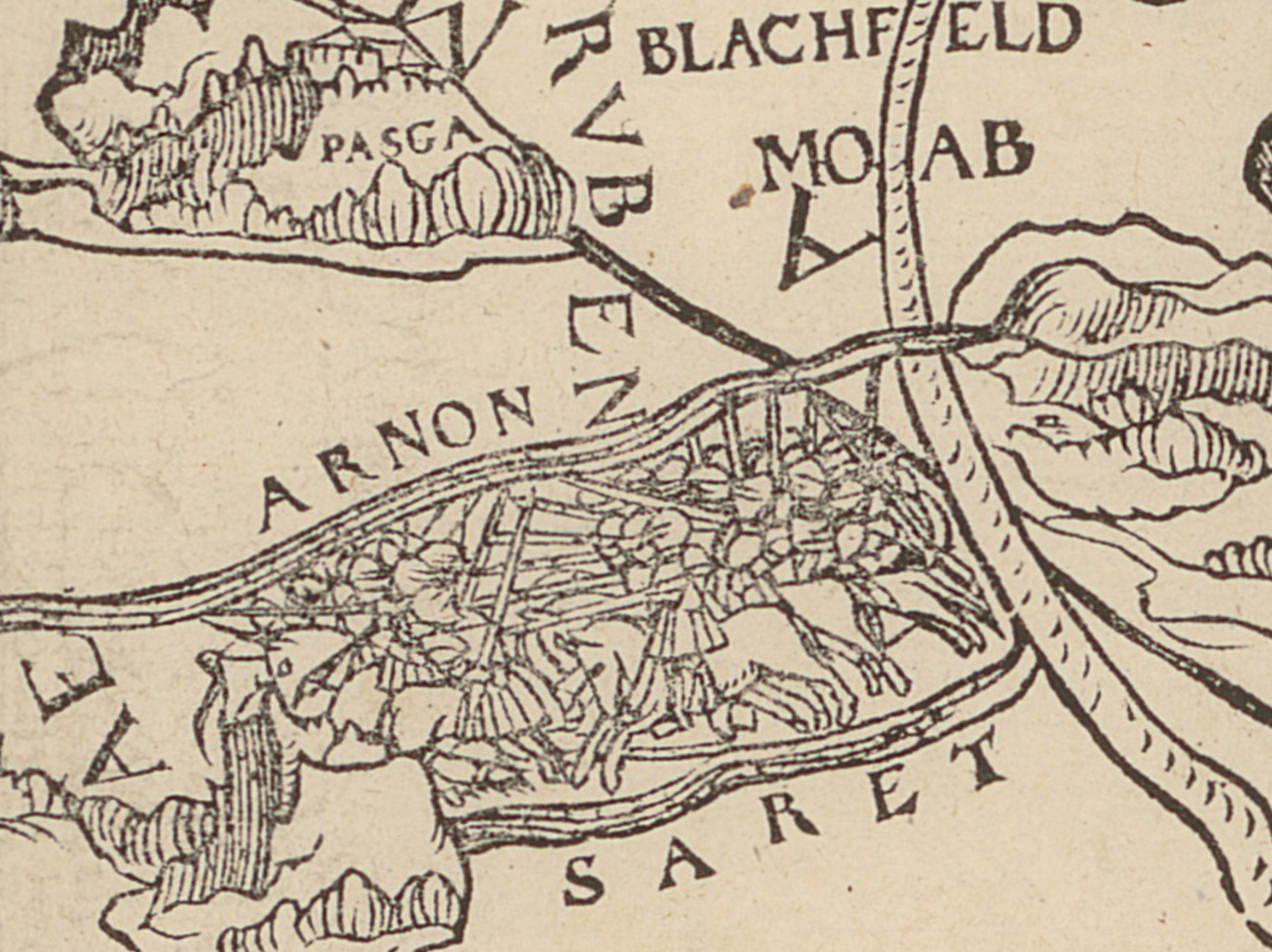
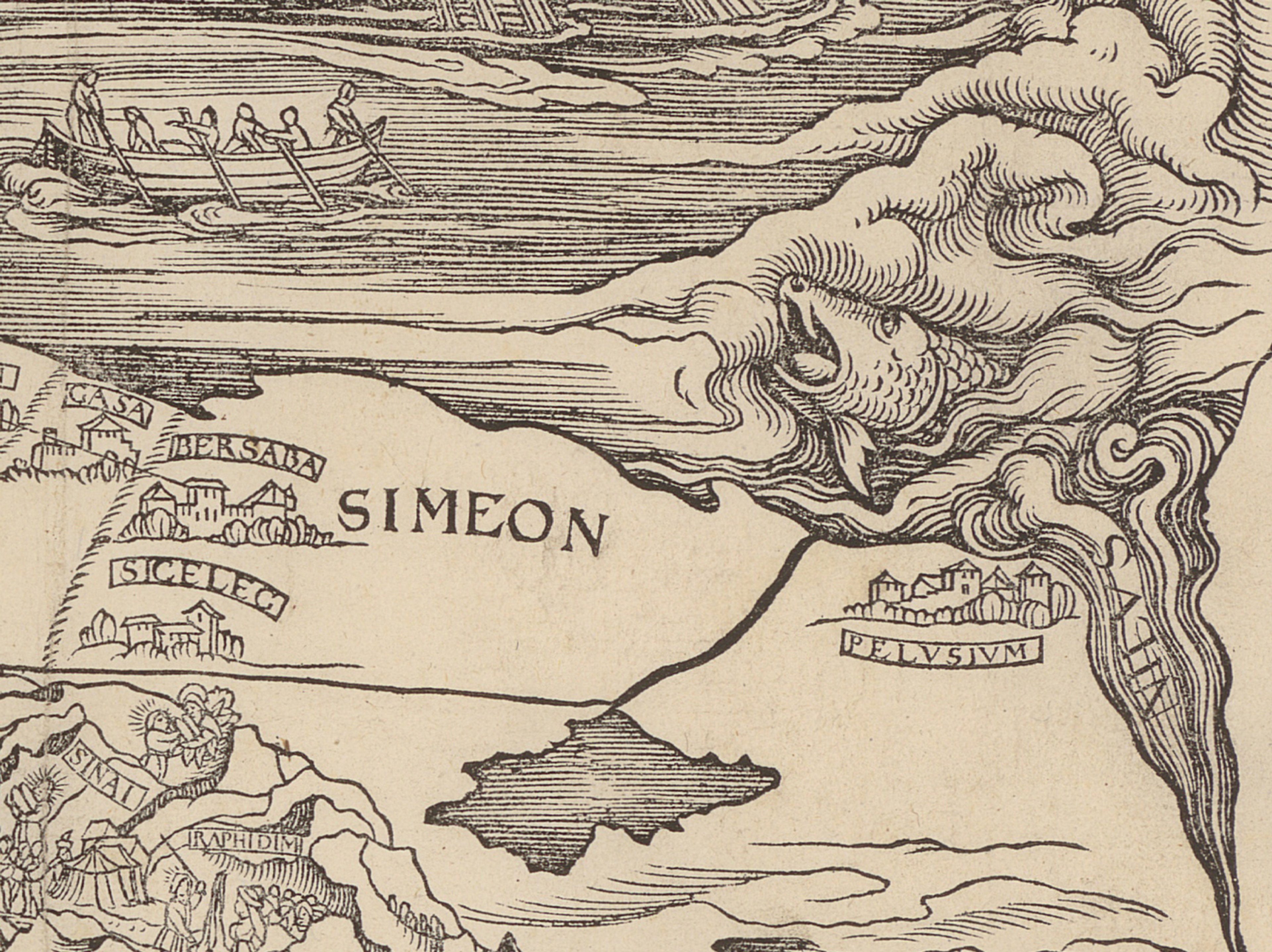
As Jost tells Jerry, the map is unbelievably rare and one of only three recorded examples. This one is held by the Zentralbibliothek Zürich, another resides in The Wren Library, Trinity College Cambridge and the other in a Swiss institution.
One of the potential reasons for its rarity stems in part from its production: issued in just a single print run, the map was ultimately withdrawn and replaced to correct its flaws.
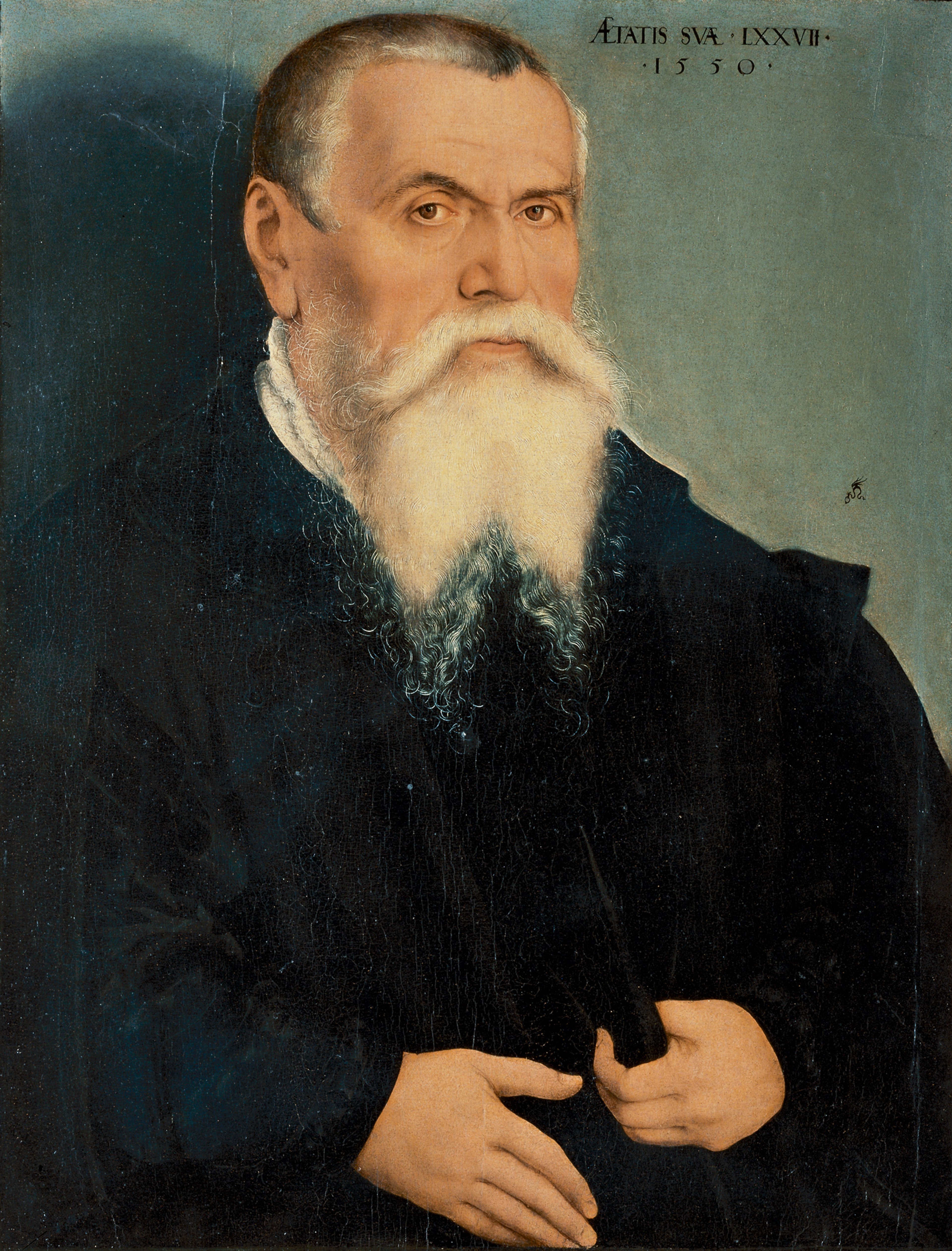
Lucas Cranach the Elder, painted in 1550. Public domain, via Wikimedia Commons.
The original source map was made by Renaissance painter and printmaker Lucas Cranach the Elder (1473–1553). It was created as a one off commission for the Imperial Vicar of the Holy Roman Empire Frederick the Wise of Saxony (1463-1525) to commemorate his own pilgrimage to Jerusalem in 1493.
Drawing on medieval mapping traditions, you can see on this map how Lucas Cranach the Elder depicted the Holy Land as a series of long, narrow strips. This approach was influenced by Jewish historian Flavius Josephus (1st century CE), who simplified the conflicting geographical descriptions found in biblical texts.
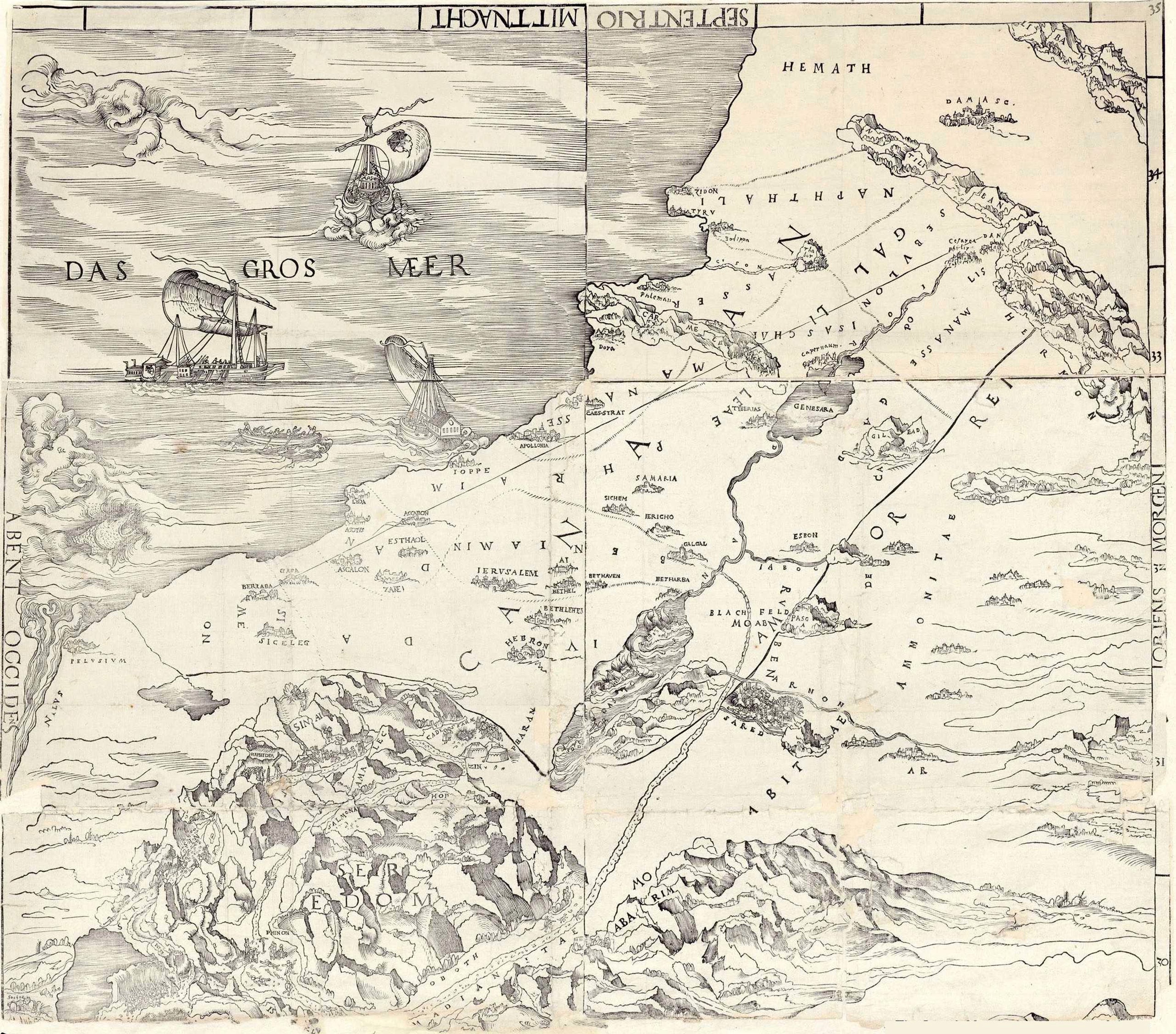
Lucas Cranach the Elder’s original map of the Holy Land (circa 1523). Public domain, via National Library of Jerusalem
The original map made in around 1523 was entirely unknown until very recently - the only complete example lives in the National Library of Jerusalem.
As Jerry explains, biblical maps served as pioneering examples of educational communication design, helping readers visualise the geographical settings of Old Testament narratives. Before their introduction, imagery was strictly excluded from Bibles in accordance with the Ten Commandments - worshipping depictions of religious figures, earthly sites, or sacred realms was regarded as blasphemous.
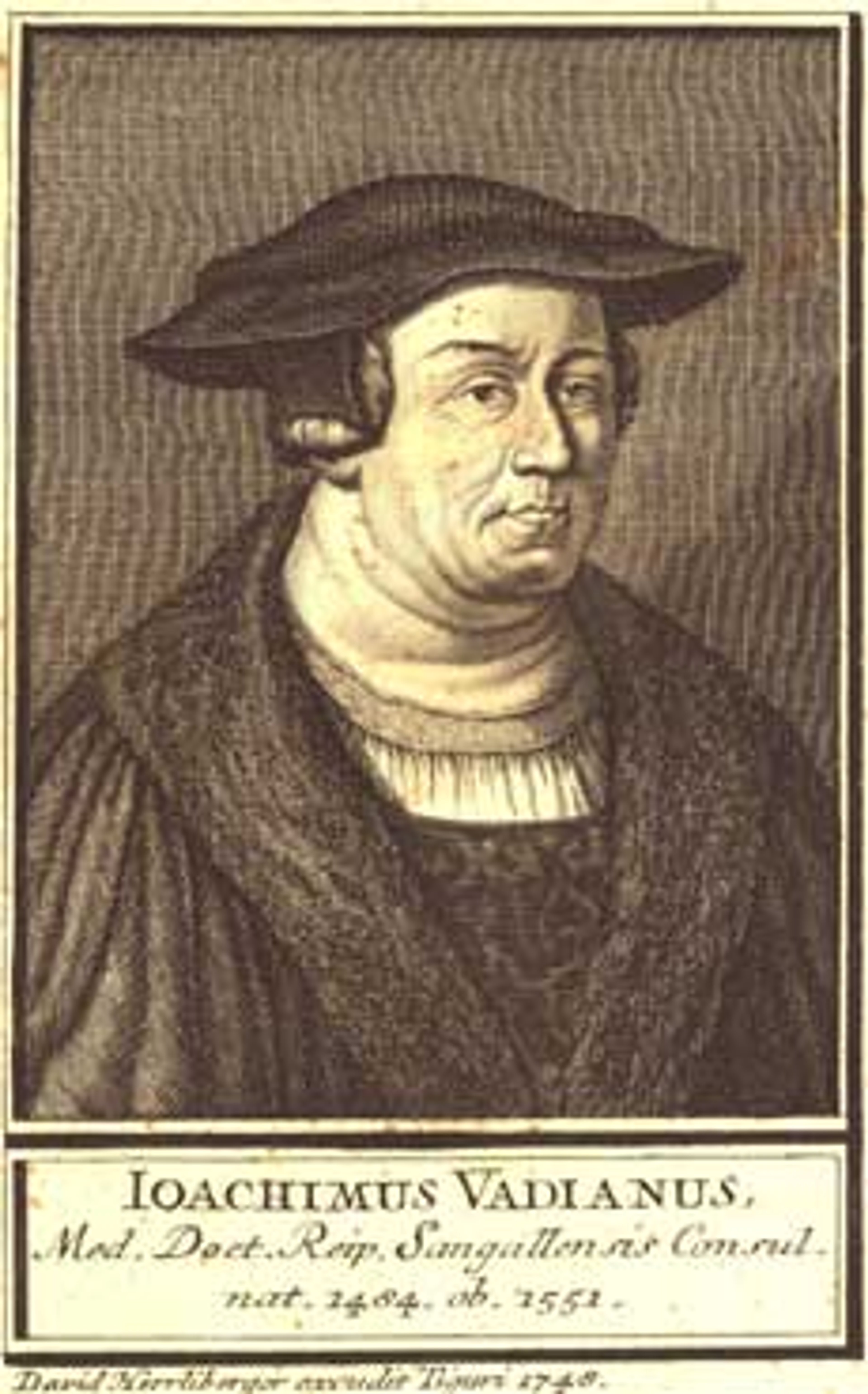
Joachim Vadianus created this reduced adaptation of Cranach’s map along with its biblical introduction. A Swiss physician and humanist, Vadianus (1484–1551) served as the mayor of Saint Gallen in eastern Switzerland, where he led the town’s transition from Catholicism to Protestantism during the Reformation.
Alongside his writings across theology, literature, and history, Vadianus worked as a cartographer and lectured in geography at the University of Vienna.
Believing it essential for the public to understand biblical historical geography, Vadianus intended the map to serve as a spiritual companion for virtual pilgrimages. The map was created for inclusion in a landmark European Bible - written in vernacular German language - published by Christopher Froschauer (1490–1564). As Zürich’s pioneering printer, starting around 1521, Froschauer produced several key Bibles; most notably the Froschauer Bible (1525) from which this map originates.
Woodcut maps of Palestine represent the earliest regional printed maps produced by European mapmakers. Driven by religious significance and their tie to pilgrimages, these maps achieved relatively broad distribution, offering viewers a framework for understanding world geography and their place within it. Creating a map of the Holy Land was effectively a rite of passage for European cartographers, frequently marking their first published work.
Prominent instances of these maps appear in Lucas Brandis de Schass’ Rudimentum Novitiorum (1475) and Gerard Mercator’s 1538 map of the Holy Land. Early examples of Holy Land cartography featured in The Sunderland Collection include works by Francesco Berlinghieri (1482), Sebastian Münster (1540), and Cornelis de Jode (1593).
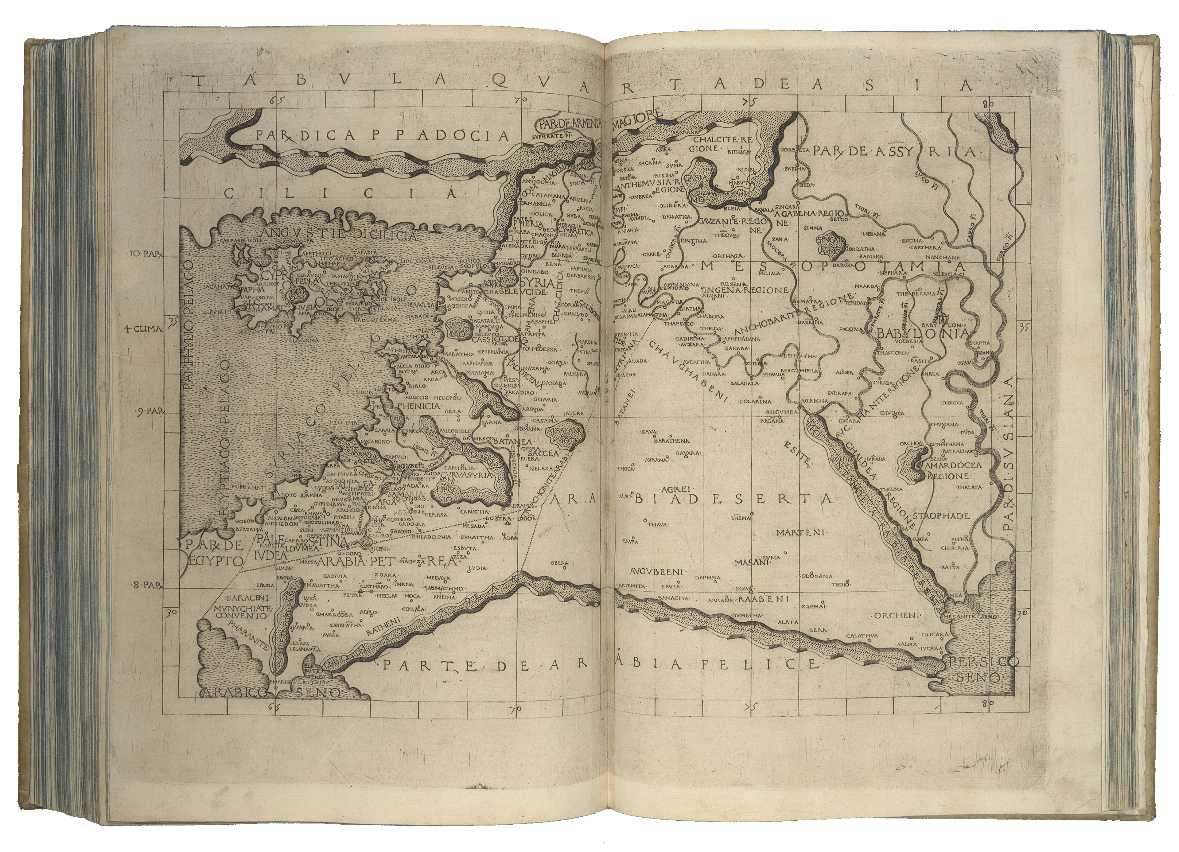
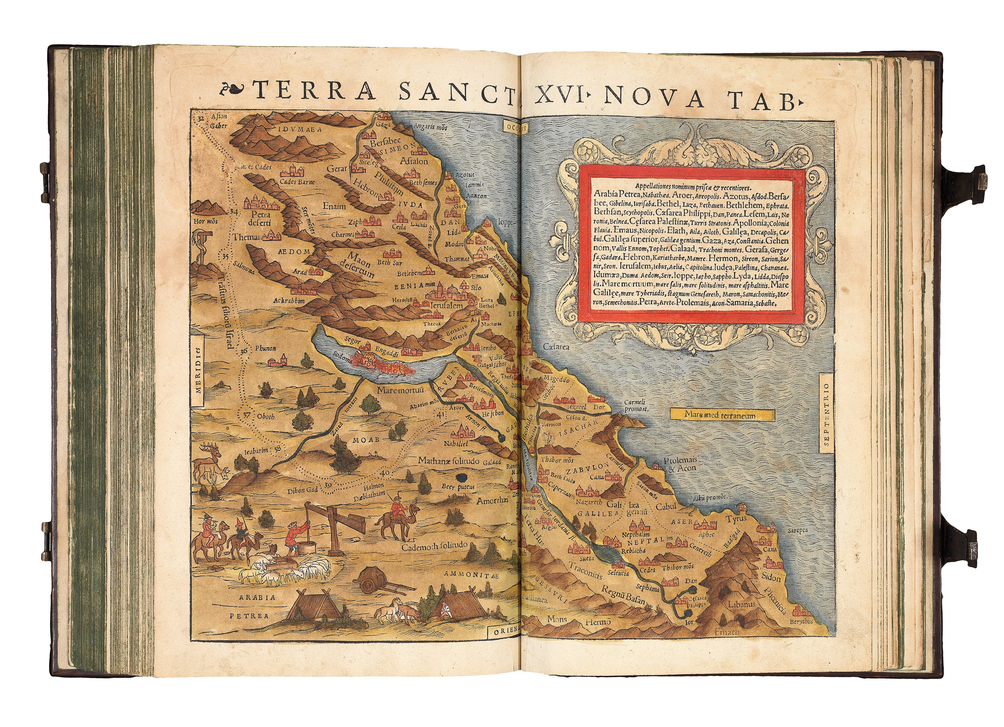
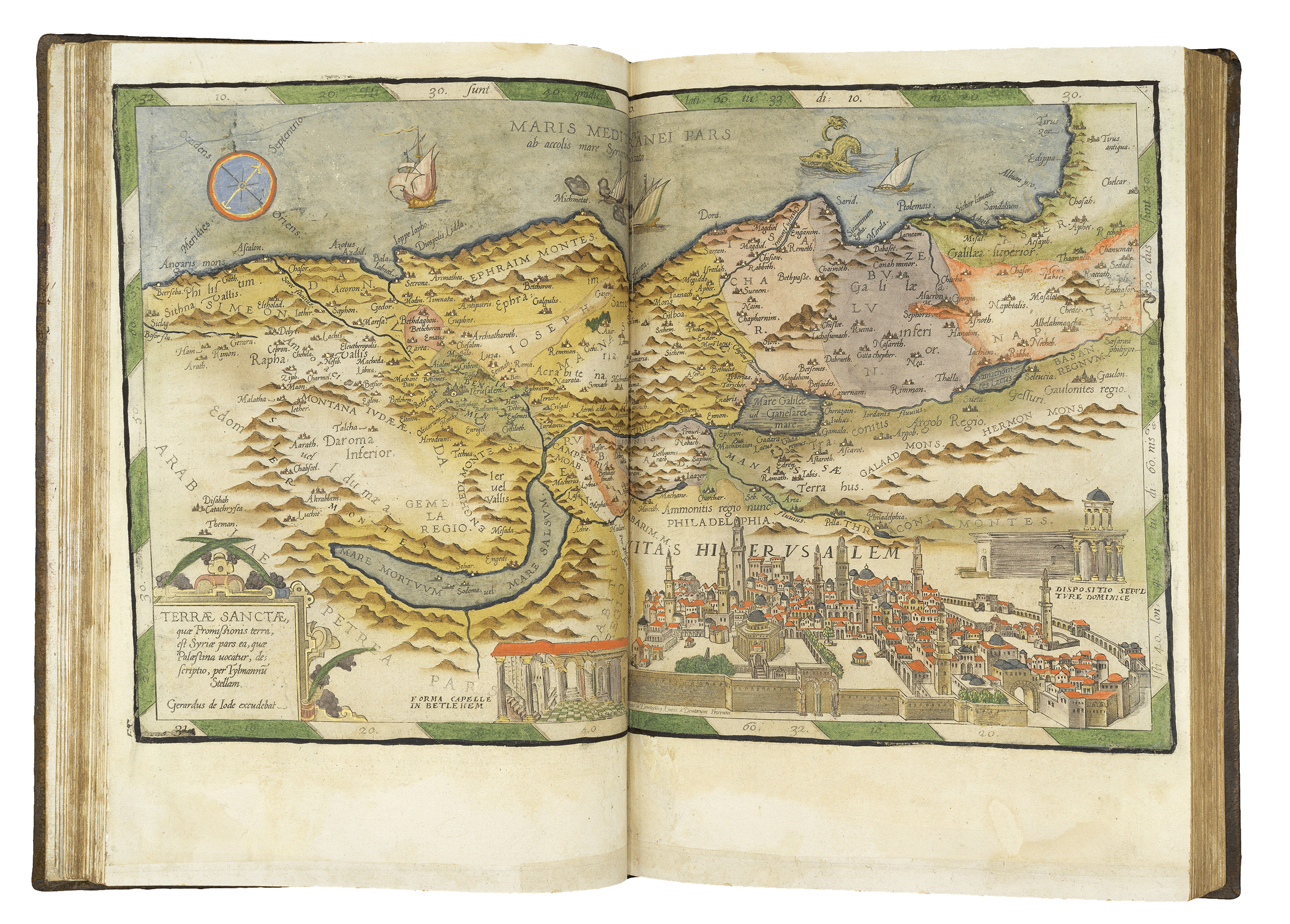
Vadianus’ map was printed during a period of profound transformation across Europe.
The Reformation of the European Christian Church - which challenged Papal authority and birthed Protestantism - originated in Switzerland led by Huldrych Zwingli (1484–1531). Shortly after in 1541, John Calvin established his reformed movement in Geneva.
Central to Zwinglianism was the supreme authority of the Bible. While it shared core Protestant doctrines with Lutheranism, including justification by faith alone, it diverged significantly regarding the sacraments. Furthermore, Zwingli advocated for the absolute sovereignty of God, instituting streamlined worship practices that stripped churches of religious imagery and musical organs. Learn more about the Swiss Reformation here.

As custodian of the thousands of maps in the Central Library’s collection, Dr. Jost Schmid is celebrating his twentieth year in the role. After pursuing studies in geography and history and earning his PhD in Zurich and Verona, stepping into the role of Head of the Map Department at the Zürich Central Library in September 2006 fulfilled a lifelong ambition.
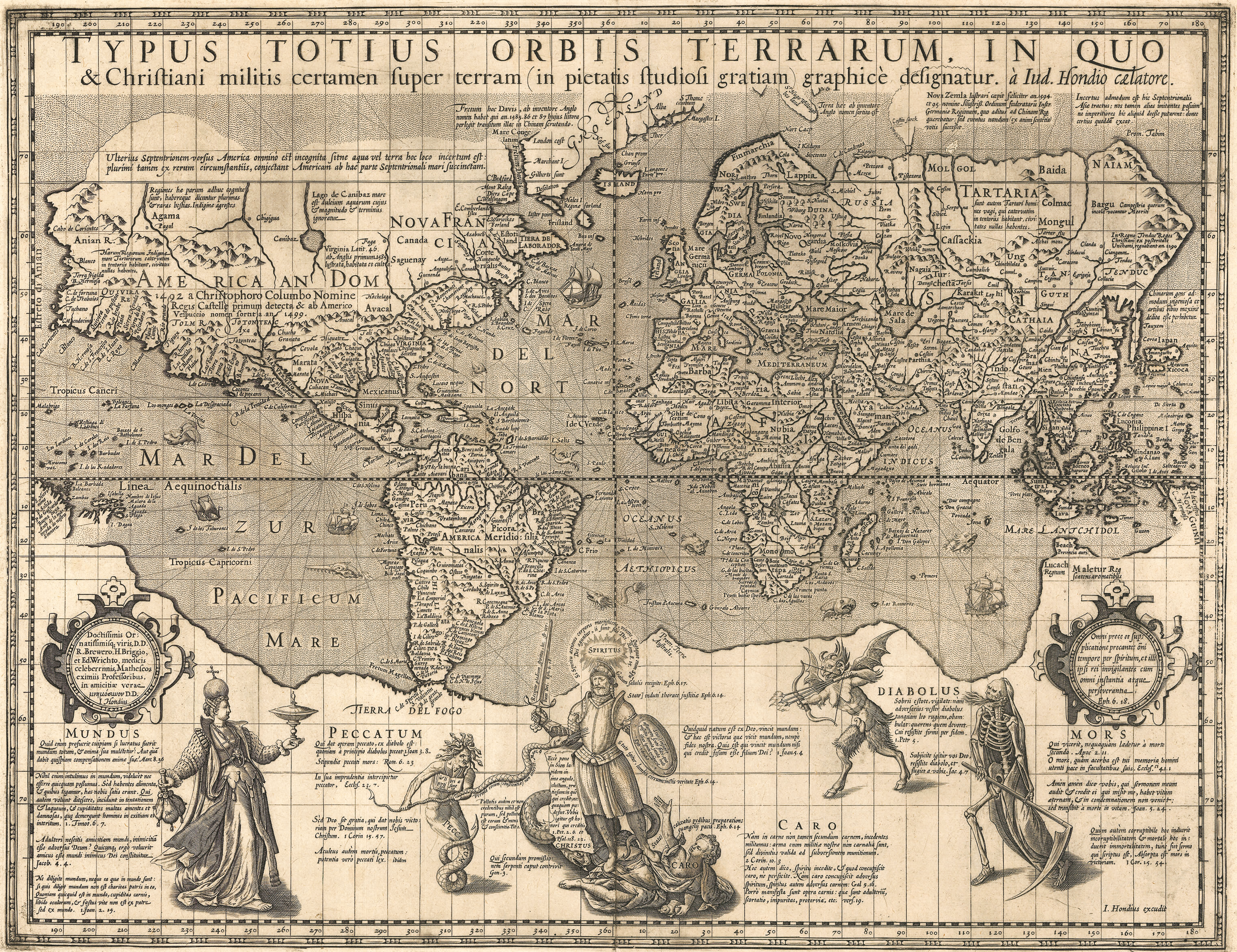
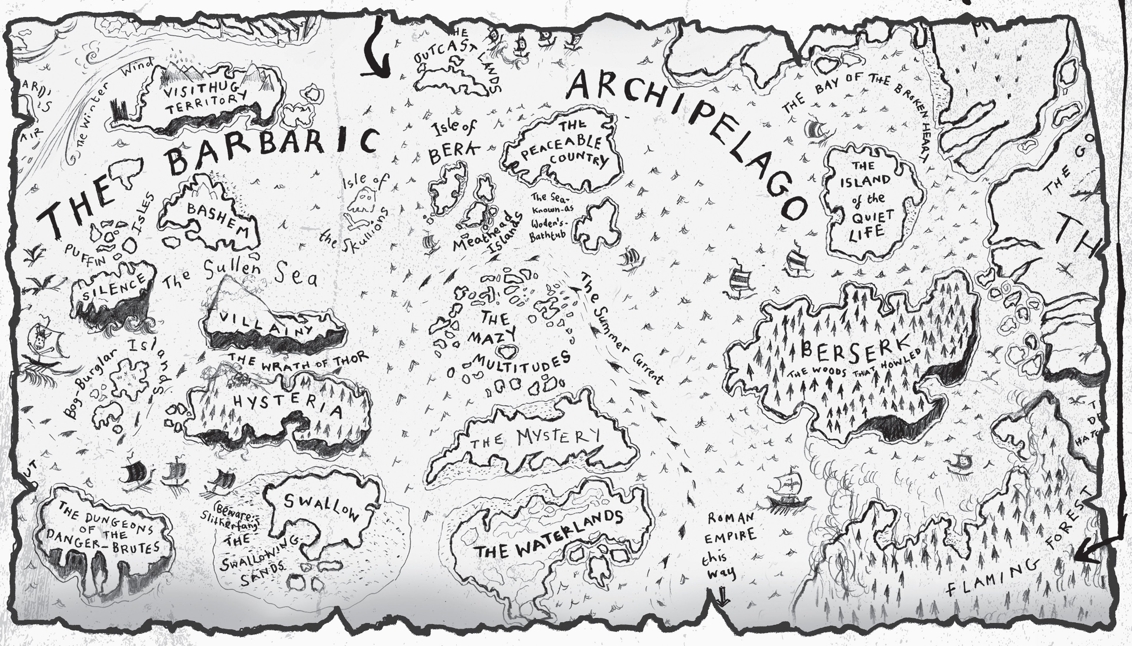
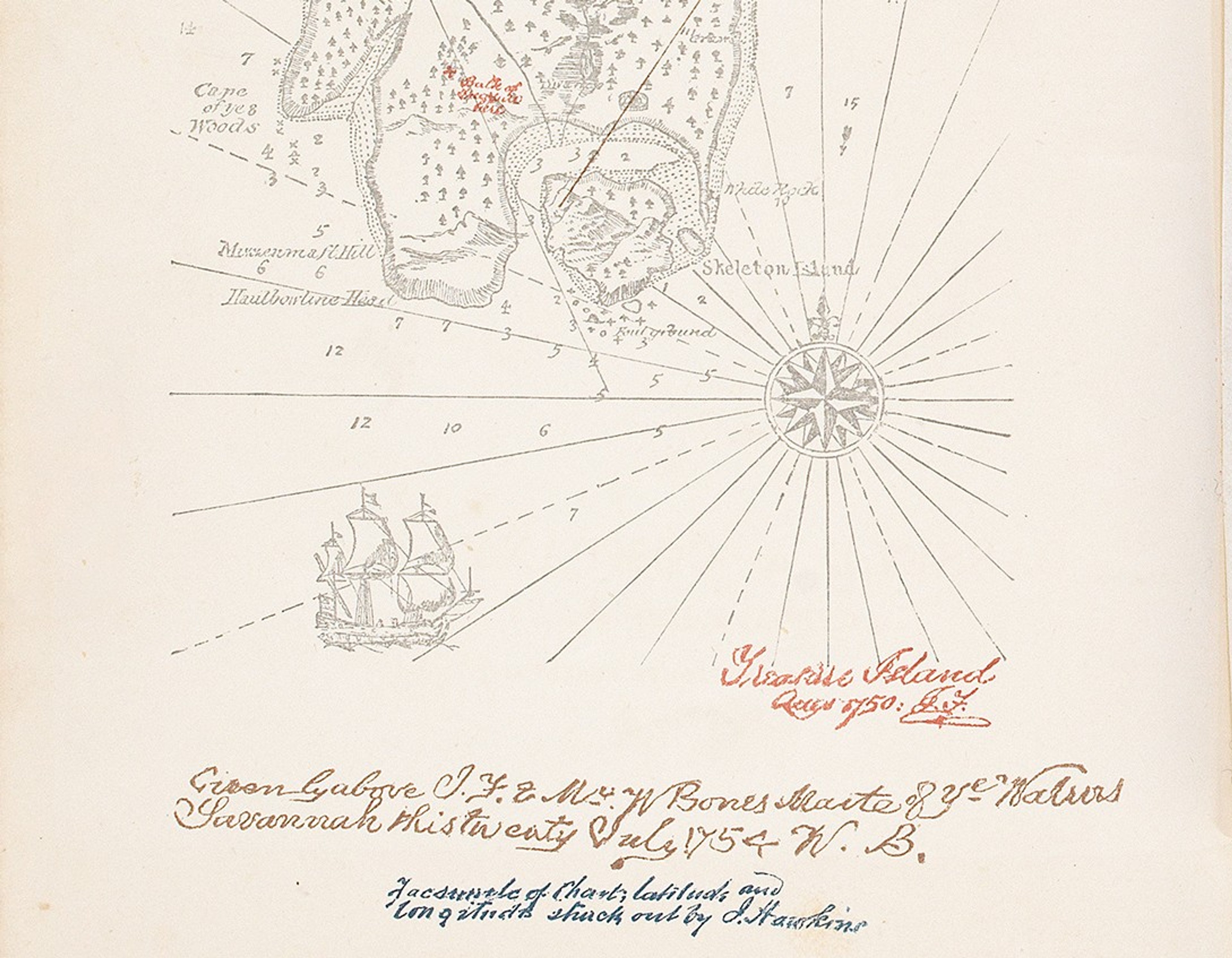
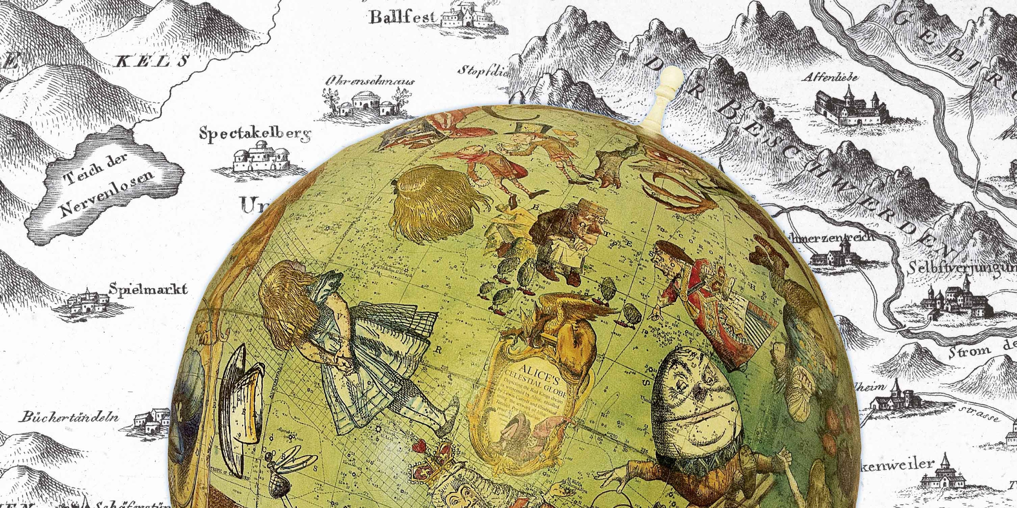
Jost has co-curated Fantastische Karten (Fantastical Maps) with The Sunderland Collection director and founder of Oculi Mundi Helen Sunderland-Cohen.
This innovative exhibition featuring fantastical maps drawn from both the Central Library and Ex Carta collections. By staging a creative dialogue between the two organisations, the exhibition illuminates the rich lineage connecting early maps to modern fantasy mapmaking and world building - a tradition where ornate cartouches, whimsical sea monsters, and dramatic mountain passes transition seamlessly into realms of pure imagination.
Discover more about Fantastische Karten and the Ex Carta collection by using the links below.
About Jost Schmid

Dr. Jost Schmid, Ph.D., studied geography and history at the Universities of Zürich and Verona.
Since 2006, he has been head of the Map and Panorama Department at the Zentralbibliothek Zürich. He has curated numerous cartographic exhibitions including the recent ‘Fantastische Karten’ in collaboration with Helen Sunderland-Cohen of Ex Carta.
Jost is the author and editor of numerous books and article contributions on the history of cartography. His 2019 book, The Advent of the Astrolabe in St. Gallen and Notker Teutonicus' Cosmographic Globe (c. 1015), presents the history of the St. Gallen Globe. He was part of a team in a tremendous project researching and digitising the globe - you can explore this online here.
Since 2020, he has taught the history of cartography at ETH Zurich.
Why not continue your exploration of the wonderful world of maps by subscribing to the podcast? That way you will never miss an episode.
Feel free to let us know - What's YOUR Map?!
All views and opinions expressed by guests on the podcast are entirely their own and do not represent those of The Sunderland Collection or Whistledown Productions.