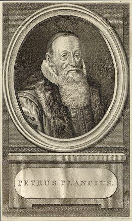
Petrus Plancius
Back to people overviewPetrus Plancius was an Itinerant preacher turned cartographer.
In 1585, he moved from Brussels to Amsterdam to avoid religious persecution where he began studying Portuguese nautical charts. His first work as a cartographer was preparing five maps for the 1590, Dutch Bible. One of these maps was issued separately and shows four possible sailing routes to Southeast Asia.
Plancius produced one hundred maps working as a hydrographer for the Dutch East India Company and he advocated for finding a Northeast Passage between the Atlantic and Pacific Oceans. He trained the company’s chief pilot, Pieter Dirkszoon Keyser to observe the night’s sky. Plancius produced his own method for calculating longitude and ‘discovered’ twelve new constellations which were added to Johanna Bayer’s ‘Uranometria’ in 1603.