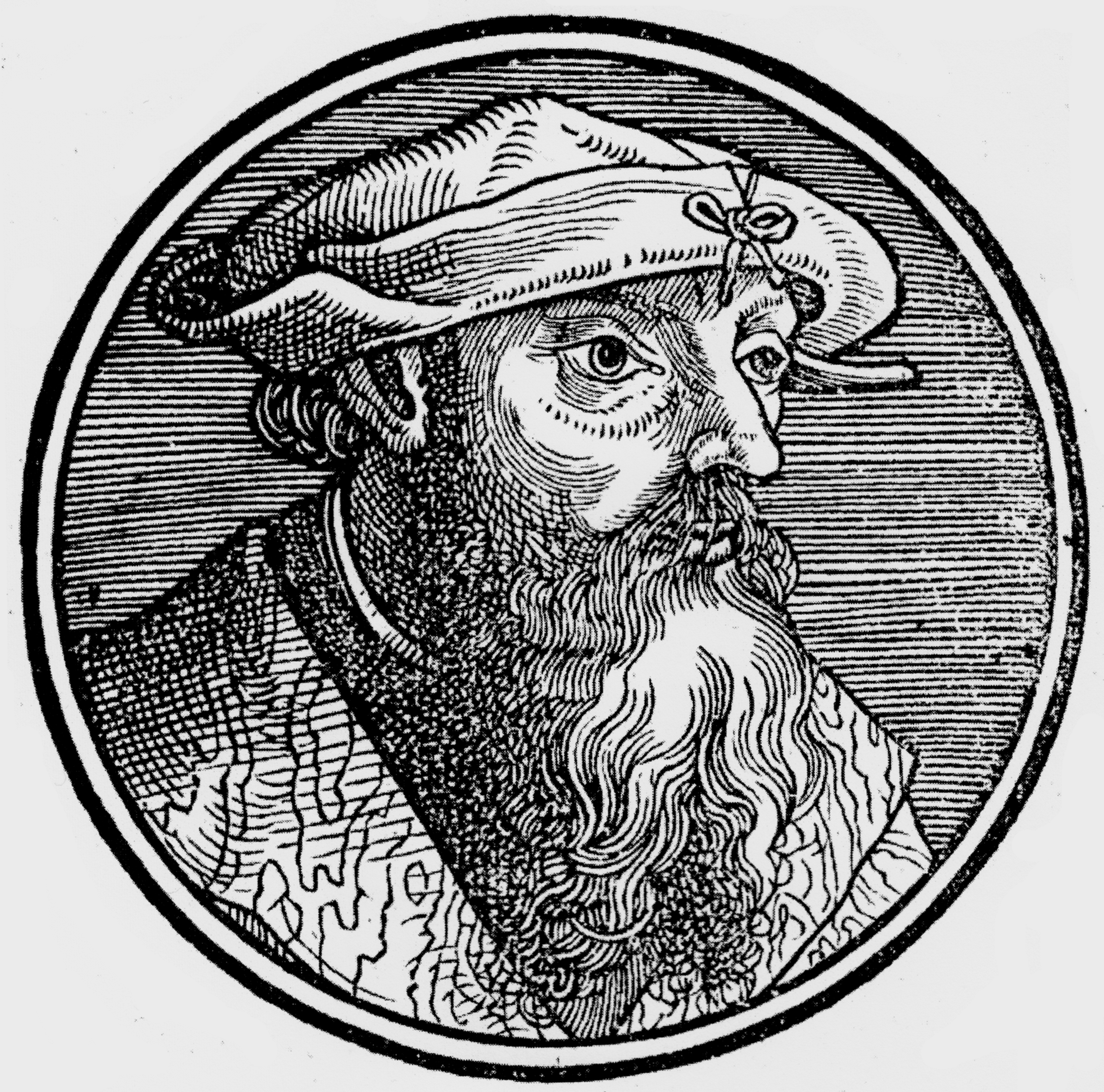
Laurent Fries
Back to people overviewLaurent Fries was a French physician and cartographer. His first cartographic project was assisting Petrus Apianus to create a reduction of Martin Waldseemüller’s 1507 world map.
In 1522, Fries and the famous publisher, Johann Grüninger worked together on an edition of Claudius Ptolemy’s ‘Geographia’, which proved extremely popular. The book included three new maps of the World and countries in Southeast Asia, all based on Waldseemüller’s atlas. Fries was famed for his skills in reducing maps.
In 1525 he began a solo project reducing Waldseemüller’s wall-map of 1507. Having exhausted most of Waldseemüller’s original work, Fries’ cartographic forays came to a natural conclusion by the mid-1520s. He returned to publishing medical texts until the end of his life, just six years later.
