Ptolemaic Projection
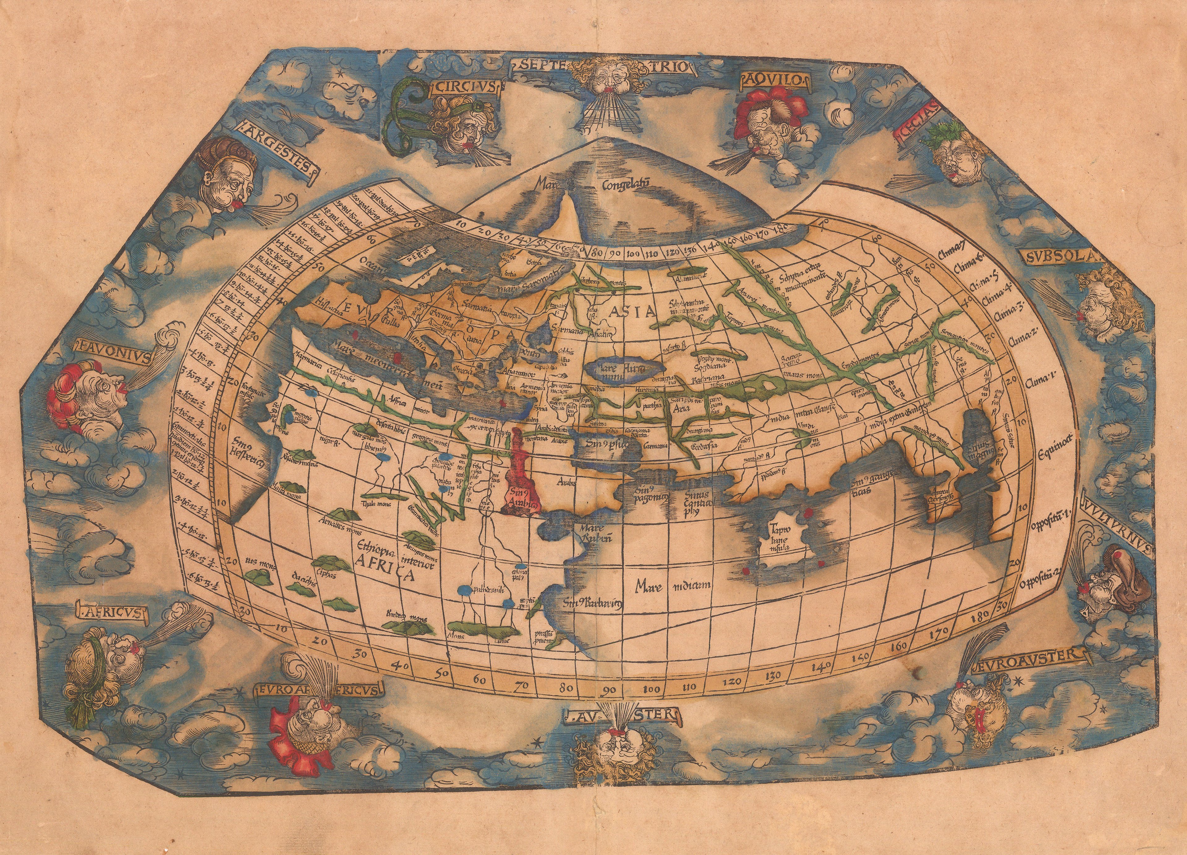
Back to people overviewA projection created by Ptolemy (c100-170CE). Combining two classical concepts: “oikoumene”, or the “known world”, Eratosthenes’s (c240 BC) calculation that the circumference of the earth was 39,690 km; and Marinus of Tyre’s (c70-130AD) idea of a network of meridians and parallels on which to plot coordinates. This enabled the projection of the geographic coordinates of about 8,000 places.