Rohini Rai
Series 5 Episode 4
Un-Bordering the Map with Dr. Rohini Rai
Series 5 Episode 4
Available on all major podcast platforms: click the icons or hit 'play' to listen now.
In this episode, Jerry speaks with Dr. Rohini Rai, a sociologist of race, ethnicity, and migration, and lecturer at Brunel University in London. She is also the co-founder of the Critical Himalayan Collective, a scholarly, activist network focused on reimagining Eastern Himalayan studies through Indigenous knowledge, art, and critical dialogue.
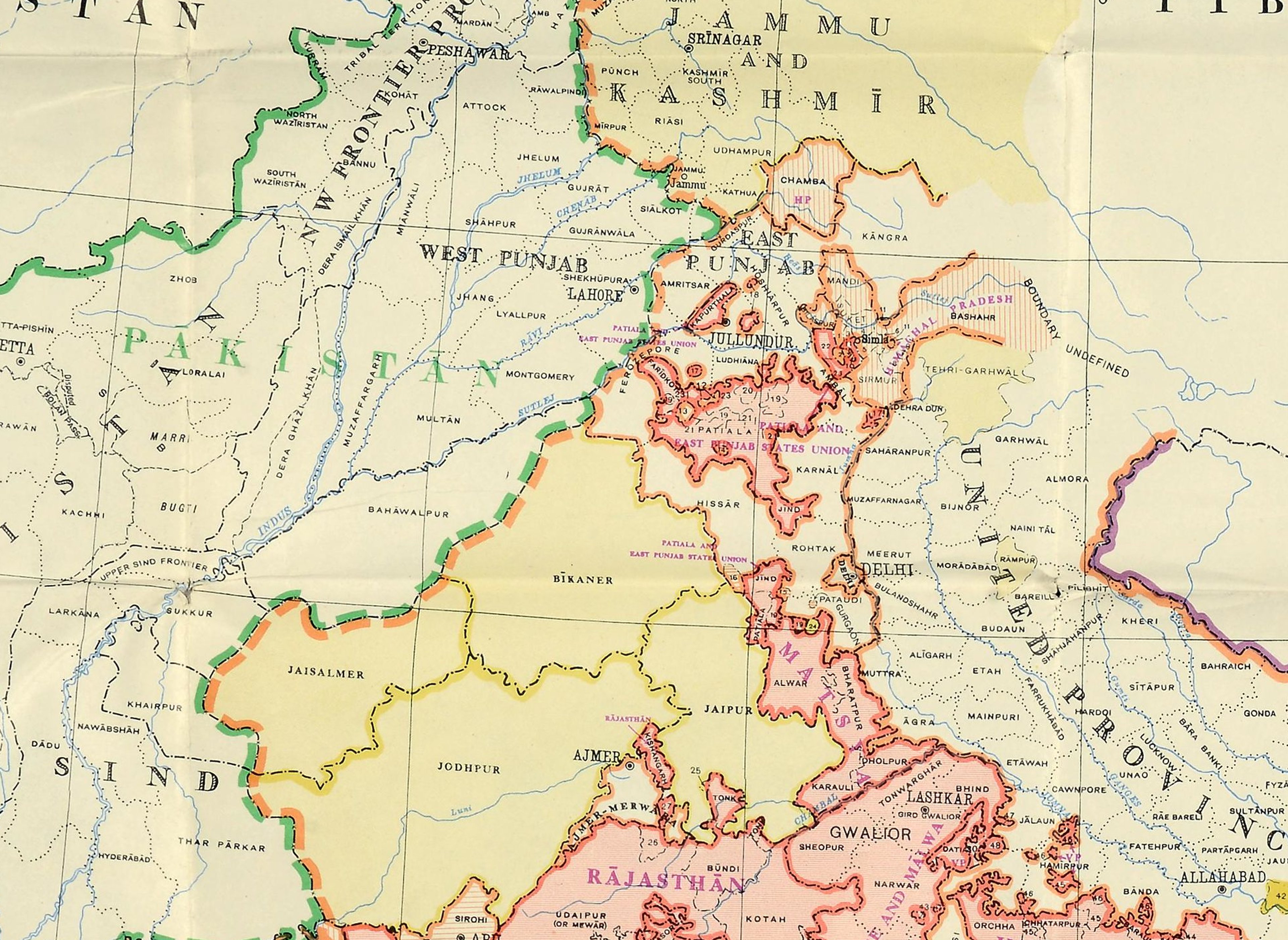
Rohini shares a map from the Royal Geographical Society Collections showing the colonial borders imposed on her home, Sikkim. The ‘Sketch Map of Sikkim and parts of Darjeeling, Nepal, Tibet and Bhutan’ was initially produced to accompany a report of a British surveying expedition in 1884-1886 led by Colonel Tanner.
We learn about Rohini’s research on the politics of the Eastern Himalayas and Himalayan diaspora in the UK. We also hear about Rohini's personal history in the region and the inspired projects using embodied practices like dance to reclaim colonised archival materials and remap ancestral lands.
To explore the map while you listen, click the image below:
‘Colonel Tanner’s Sketch Map of Sikhim and Parts of Darjeeling, Nepal, Tibet and Bhutan’ (1886) K32492 ©RGS-IBG
This detailed map of the Northeastern Himalayas encompasses modern day Sikkim, Eastern Nepal, West Bengal, Tibet, and Western Bhutan. The hand-coloured outlines on the map denote the border divisions imposed on the region by the British, dividing a culturally and geographically fluid landscape.
Blue is used to separate Nepal and Sikkim; pink outlines the Darjeeling district in the Indian state of West Bengal; yellow is used to outline Tibet and the now highly contested Chumbi Valley region (‘Dromo’ or ‘Tromo’ in Tibetan); and finally pale green defines the north-western extremities of a largely ‘unexplored’ Bhutan.
The photozincographic map features dotted and dashed lines of routes traversed by surveyors and illustrates the mountainous topography through the use of technical shading. It also has the names of settlements, rivers, the heights of peaks, and descriptive annotations such as 'steep' escarpments and 'doubtful' route. Needless to say that toponyms use European spellings instead of local names.
A note at the top of the map ‘For Office Use‘ and some manuscript annotations in pencil south of Paro in Bhutan show that this was a working document.
In the episode, Rohini and Jerry examine the power wielded by the British in drawing these political divisions in this Eastern Himalayan region, leading to the fracture of identities and communities. The map's Euro-centric language and visual appearance - typical of the era - suggests emptiness and absence. However, as Rohini emphasises, this region was only ‘unexplored’ from the perspective of the colonial regime; it had of course been geographically inhabited for countless generations.

Map data ©2026 Google

Crop of Bhutan on Col. Tanner’s map ©RGS-IBG
The map is by Colonel Henry Charles Baskerville Tanner (1835–1898), a prominent nineteenth-century British surveyor, artist, and army officer with the Bombay Staff Corps and the Government Survey Department. The map also features the names of surveyors Col. Prejevalsky, pundit ‘A. K.’ (known to be Kishen Singh), and a Mr Robert.
Col. Tanner was considered one of the most proficient survey officers in the Survey of India and is renowned for his work in the Himalayas and the Northern Indian ‘frontier’. He was employed in the 1880s to map the ‘borders’ of Sikkim and Nepal.
During a period colloquially known as the ‘Great Game’ (c.1813 to 1907), the British and Russian Empires competed to gain colonial control over Afghanistan and the surrounding countries in Central Asia; the Russians attempted to expand their empire, and the British feared that they might have set their eyes on gaining the riches of India; the British East India Company established substantial control from 1757. Geographical knowledge was of utmost importance to these dominating imperial forces.
As Rohini describes in the episode, the Eastern Himalayan region became a ‘buffer zone’ between British India and neighbours China and Tibet, the inhabitants of which were subject to displacement, bloodshed and generational trauma caused by this geopolitical rivalry.

Map of Bengal and neighbouring Indian States, with parts of Nepal, Sikkim, Tibet and Bhutan by ‘Father of Indian Survey’ James Rennell (1767–1777), published by William Faden (1781) 16229.030 ©David Rumsey Map Collection, Stanford Libraries
The map by Col. Tanner is one of many that derived from the systematic effort of the Survey of India. The Survey of India was established in 1767 by the British Raj to help consolidate and govern British East India Company territories. The Survey of India has evolved to become what is now India’s national mapping agency.
In 1802, the Great Trigonometrical Survey of India was born, under the leadership of William Lambton and auspices of the East India Company. A significant milestone in geodesy and cartography, this ambitious project extended across the entire Indian subcontinent with the intention to create an accurate scientific map of India.

Index chart to the Great Trigonometrical Survey of India (1870). Public domain via Wikimedia Commons
Dramatically improving upon earlier surveying techniques, triangulation was used to determine land positions by precisely measuring the angles between fixed topographical reference points.
A result of the survey was the creation of the Great Arc of the Meridian - a 1,600-mile measurement from India's southern tip to the Himalayas that determined the Earth's precise shape and curvature.
Triangulation also led to important scientific discoveries such as the height of Chomolungma (Mount Everest).
As access to Himalayan territories, namely Tibet and Nepal, was forbidden to Europeans, British officers surveying the region ran into issues trying to complete their maps.
Nepalese and Tibetan men were employed to carry out clandestine reconnaissance - recording routes, distances, altitudes, astronomical observations and local intelligence for use in the Survey’s maps. These local surveyors became known as ‘Pundits’, often remaining anonymous, assuming a nickname or going by initials. Tanner was said to be responsible for training pundits during his time as a surveyor, and as we can see here, pundit Kishen Singh played a part in creating this map.

Rohini’s family home Namchi shown on the map ©RGS-IBG
The arbitrary borders imposed on the region not only fractured communities but also permanently influenced the identities of its inhabitants. Rohini discusses her personal ancestry in Eastern Nepal and Sikkim, identifying as a member of the Kirat Rai community. She was brought up in Namchi नाम्ची, south of Mount Tendong टेन्डोगं, and now resides in London.

View of Namchi, Sikkim ©istock
She emphasises how truth is often depicted on maps and in archives through a Euro-centric, colonial perspective. They construct dominant narratives, which as Rohini describes are ‘top down’. However, communities can reclaim and re-centre these marginalised points of view, reawaken and enrich archives with personal and ancestral stories, many of which are passed on through oral traditions.
Rohini describes how her research connected with the work of political and cultural geographer Prof. Ulrich Oslender who identified that emotional discomfort is experienced by individuals and communities with genealogical ties to colonial maps, but that maps can simultaneously function as space for memory. Therefore, while these maps can provoke emotional distress and frustration, they also instil a sense of purpose to imaginatively un-border and remember the region.
“From the viewpoint of diasporic indigeneity, archives can act as tools in decolonising imagination as they have the power to re-member (put together again) and re-envision the past, present, and future in ways that recentre hidden narratives and ascertain Indigenous existence.” (Dr. Rohini Rai, 2024)

Sakela Sili performed by Kirat Rai Yayokkha (Ashford) Sakela Sili Dance Group during ’Indigenising the Himalayas: Storytelling through Dancing’ Workshop, Royal Geographical Society, London, UK, 2024 ©Anusha Rai
Through the method of embodied mapping, Rohini attempts to deconstruct and de-colonise these historic borders for herself and other Eastern Himalayan communities.
Embodied mapping is a creative research method that uses the human experiences as opposed to traditional two-dimensional mapping to understand and navigate spatial, emotional, or cultural environments.
In a project funded by the British Academy, Rohini partnered with the Royal Geographical Society (RGS) and three UK-based Himalayan Indigenous diaspora communities: Kirat Yakthung Chumlung, Kirat Rai Yayokkha, and World Newah Organisation UK Chapter. This collaboration invited community members to the RGS archives to re-label maps, photographs and artefacts which had previously been documented using European cataloguing. The initiative aimed to replace a colonised view by allowing participants to share memories and stories of their heritage.
Following the exhibition display of archive materials, three dance groups of community members and a solo dance artist, Sandhaya Gurung, performed dances accompanied by stories narrated first by elders in their own languages, and then in English by younger members of the British-Nepalese community. Throughout these dances, the audience were gathered on the floor to encourage active participation.
You can find out more about this inspiring project here, and see the digital exhibition curated by Rohini here.
You can also read a article by Rohini titled ‘Dancing Indigeneity in the Eastern Himalaya: Sakela Sili asWorld-making‘ here.

Sakela Sili during Ubhauli celebration at Kirat Rai House in 2022, Surrey, UK ©Rohini Rai
About Dr. Rohini Rai

Dr. Rohini Rai is a sociologist of ‘race’, ethnicity, and migration, and currently the Lecturer in Sociology of Race at Brunel University of London. Outside of academia, she is the co-founder of the Critical Himalayan Collective.
Her areas of research include racialisation and indigeneity in relation to Northeast India and Eastern Himalayan borderlands. Rohini's current research focuses on the politics of indigeneity in the context of Eastern Himalaya and Himalayan diaspora in the UK, focusing on three elements - archives, dances and storytelling. You can explore her partnership with the RGS and British Academy using the links above.

Photo by Haych Digital ©The Sunderland Collection
Rohini took part in The Sunderland Collection’s conference ‘Challenging Maps and Exploration’ in October 2025. You can rewatch her presentation ‘Remembering Ancestral Place: Maps through the Lens of Diasporic Indigeneity’ and enjoy the panel discussion with Dr. Sana Murrani and Prof. Michael Bravo on Oculi Mundi.
Why not continue your exploration of the wonderful world of maps by subscribing to the podcast? That way you will never miss an episode.
Feel free to let us know - What's YOUR Map?!
All views and opinions expressed by guests on the podcast are entirely their own and do not represent those of The Sunderland Collection or Whistledown Productions.