
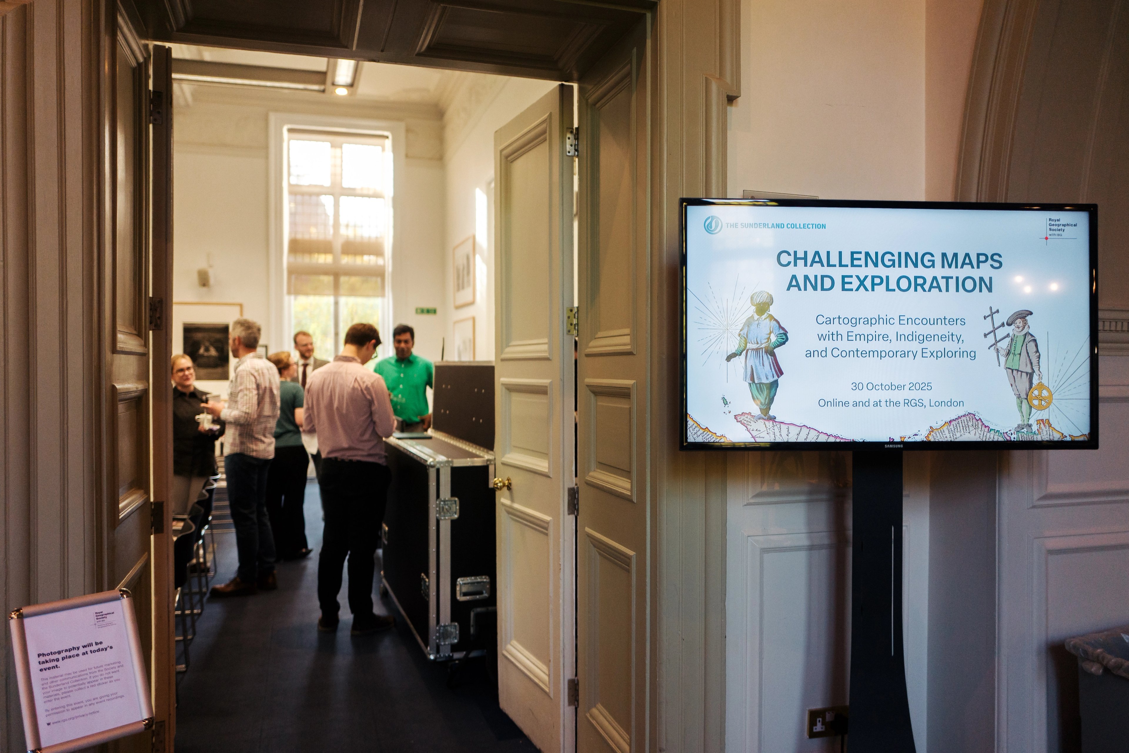
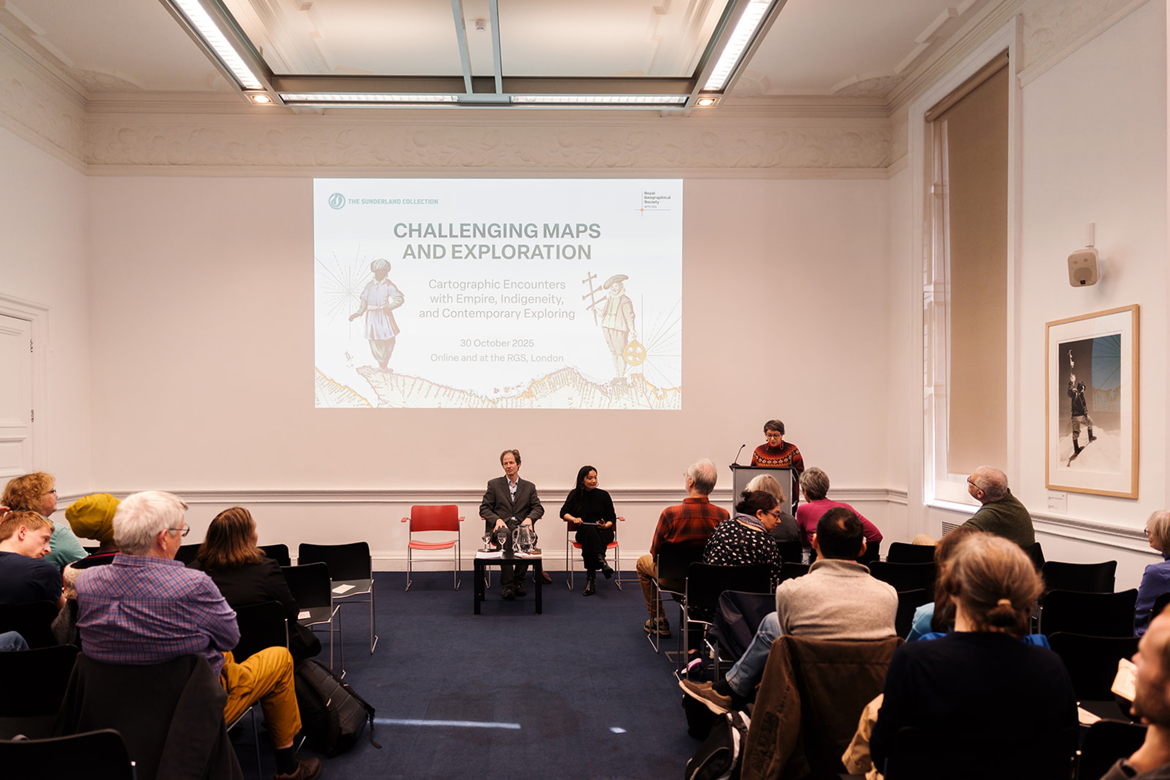
Challenging Maps and Exploration
Proudly held with the Royal Geographical Society
About the Symposium
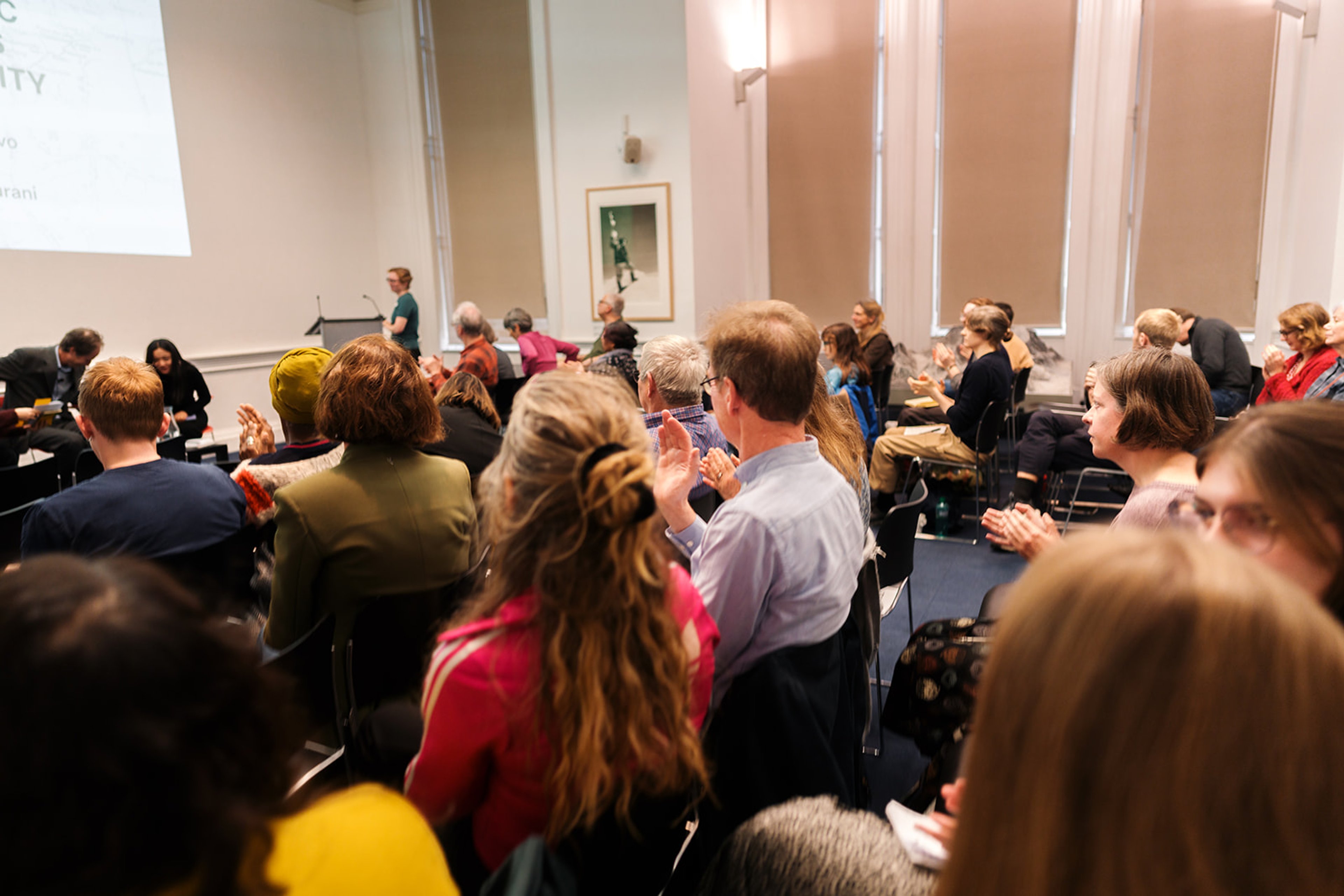
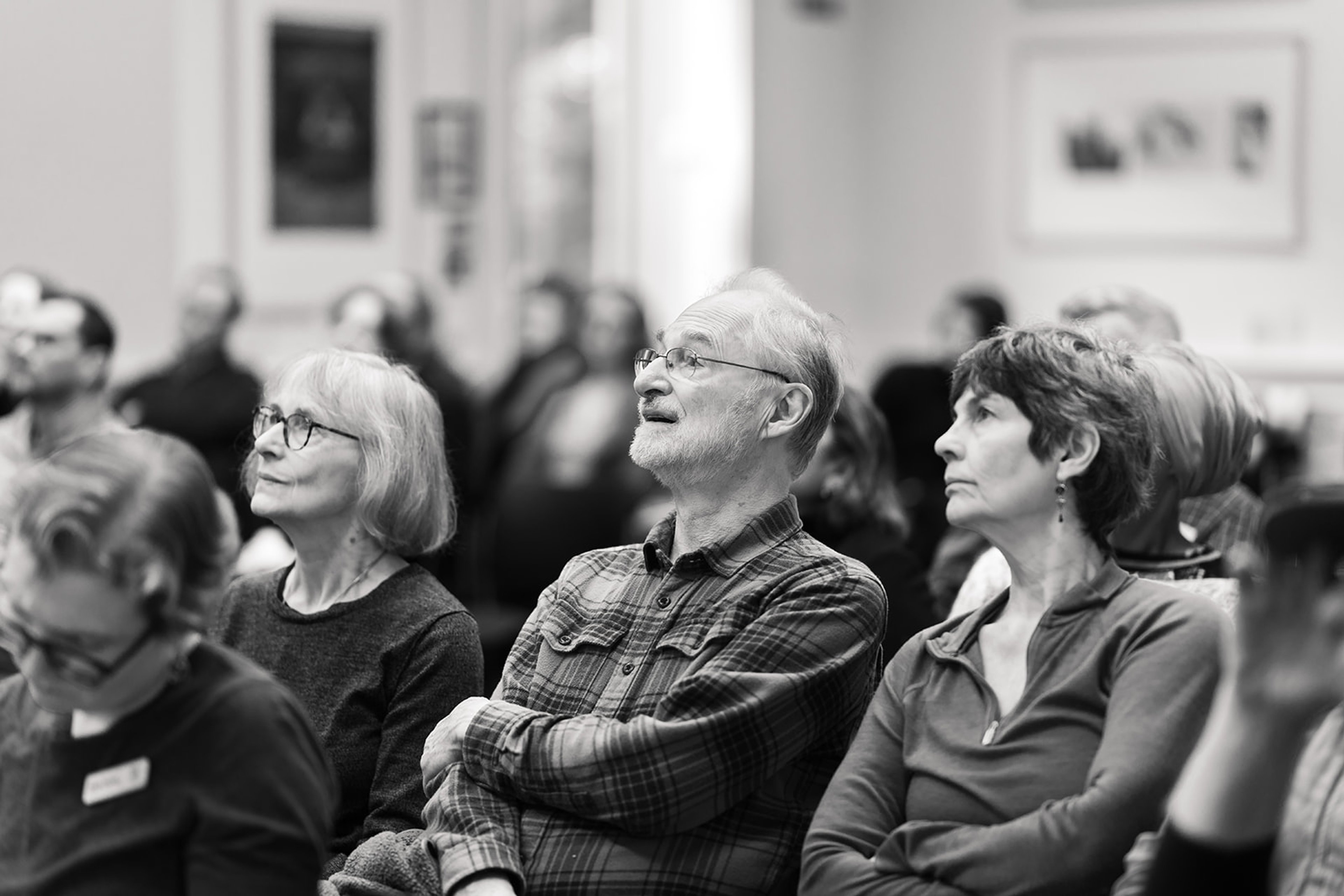
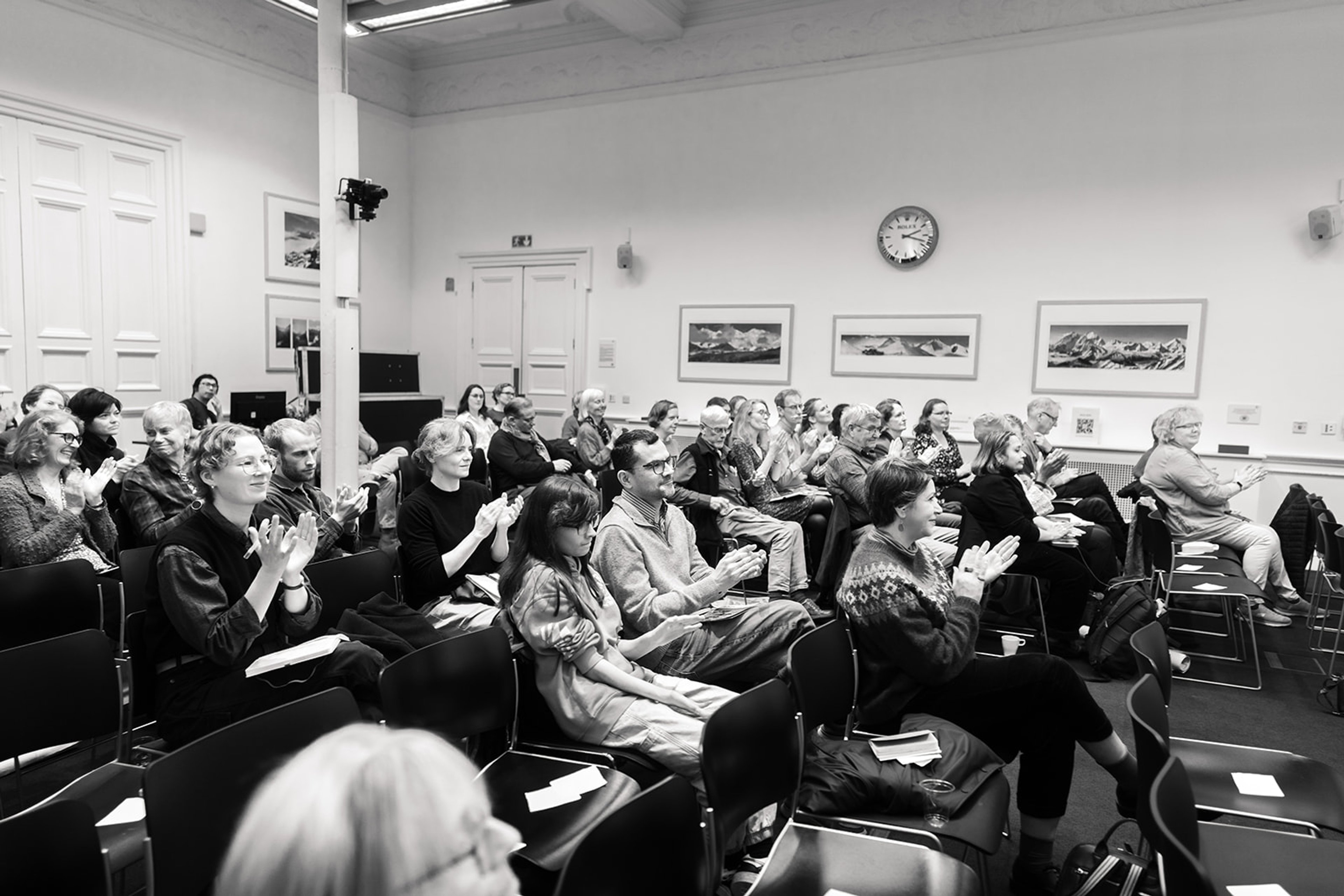
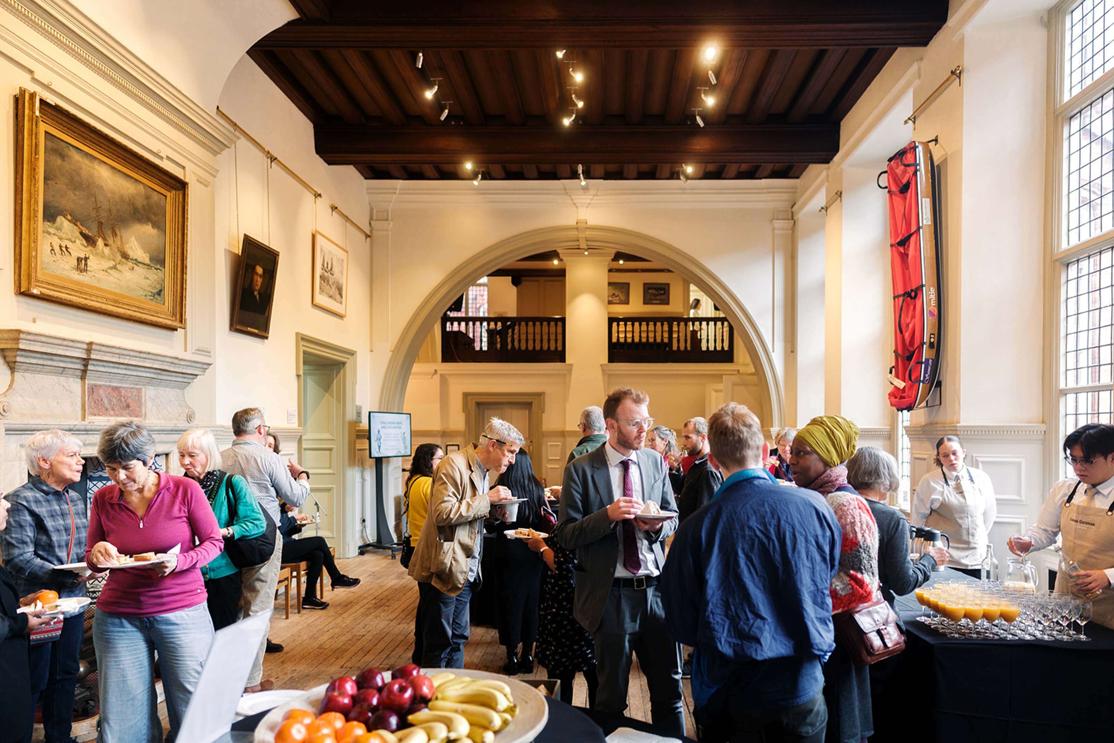
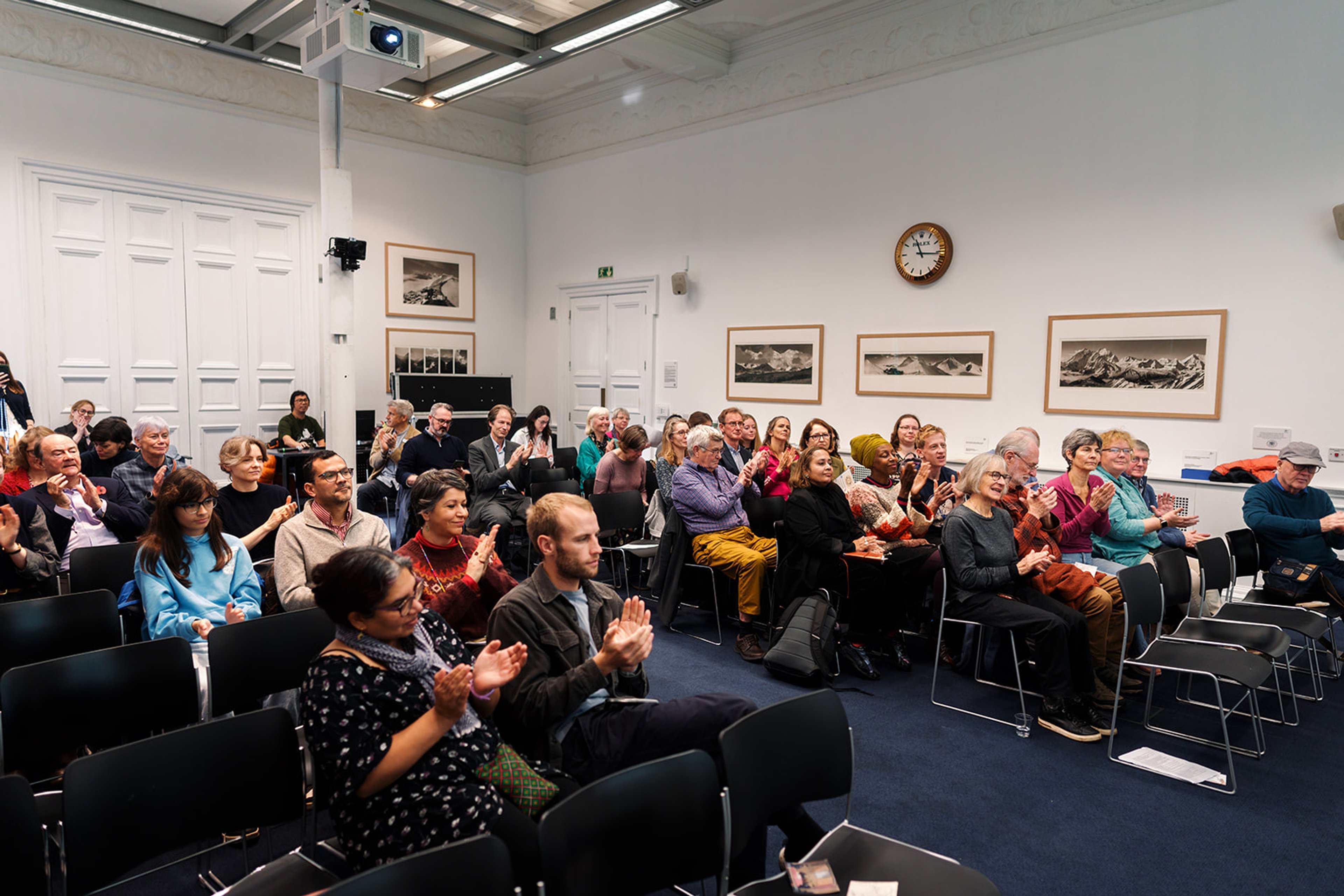
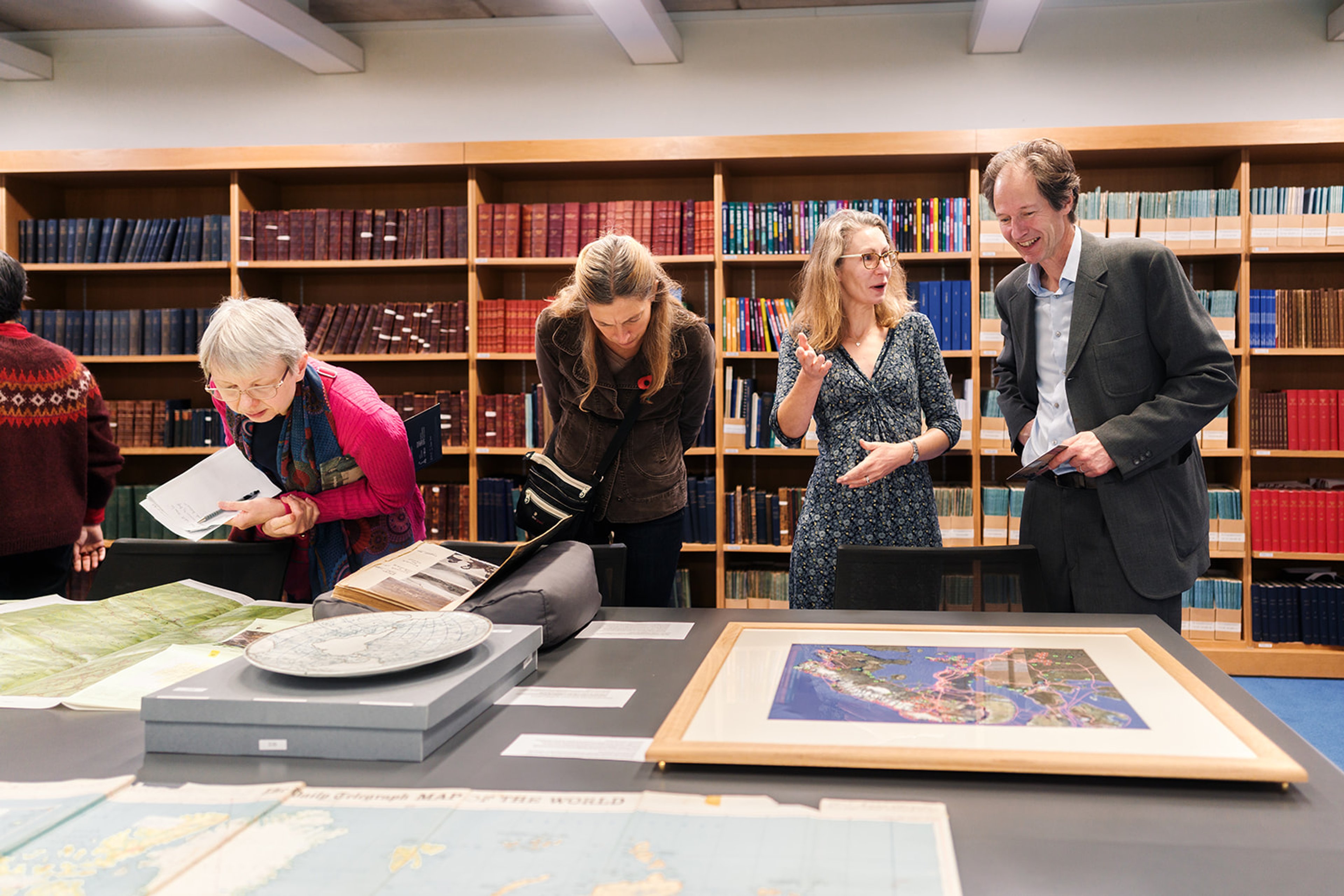
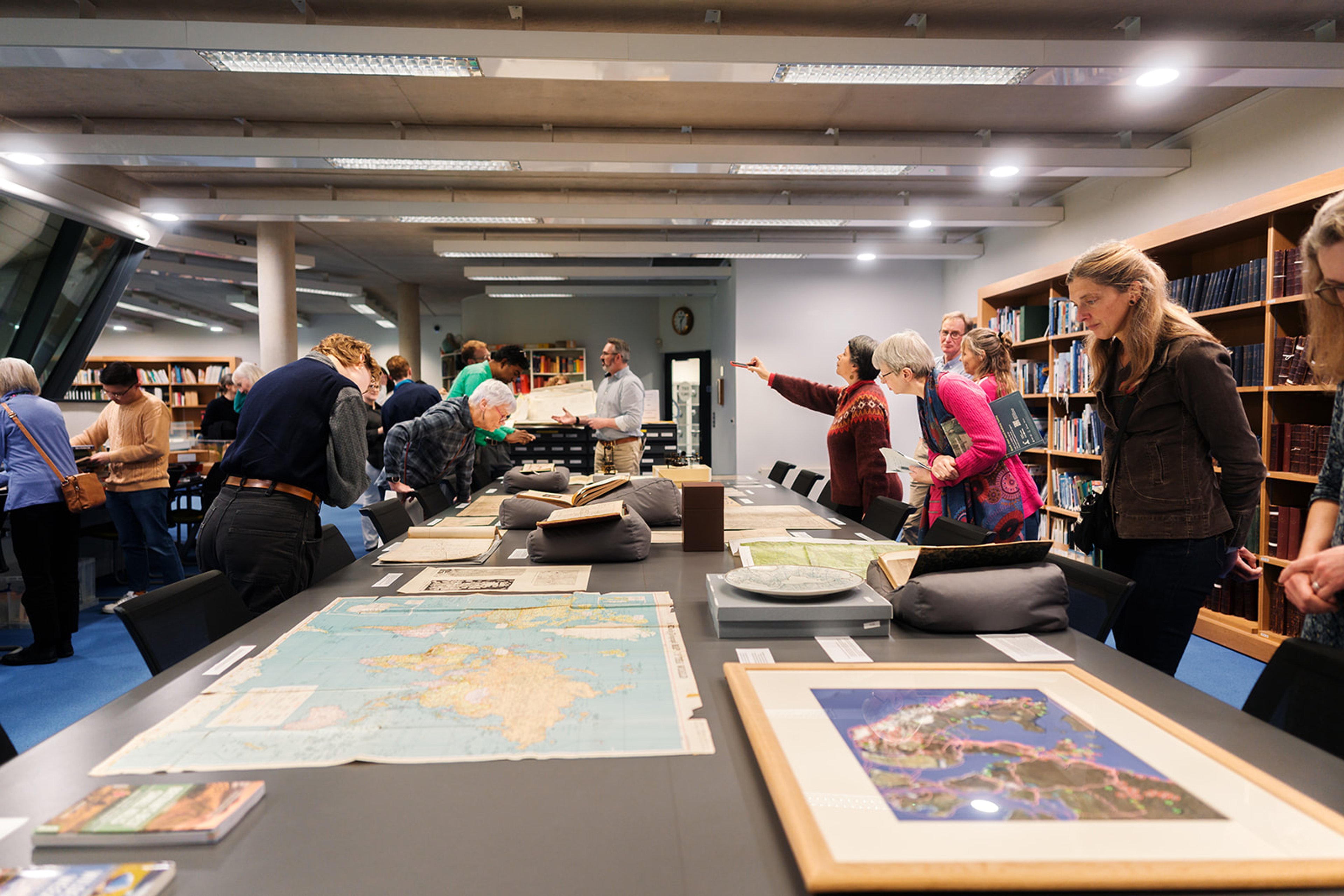
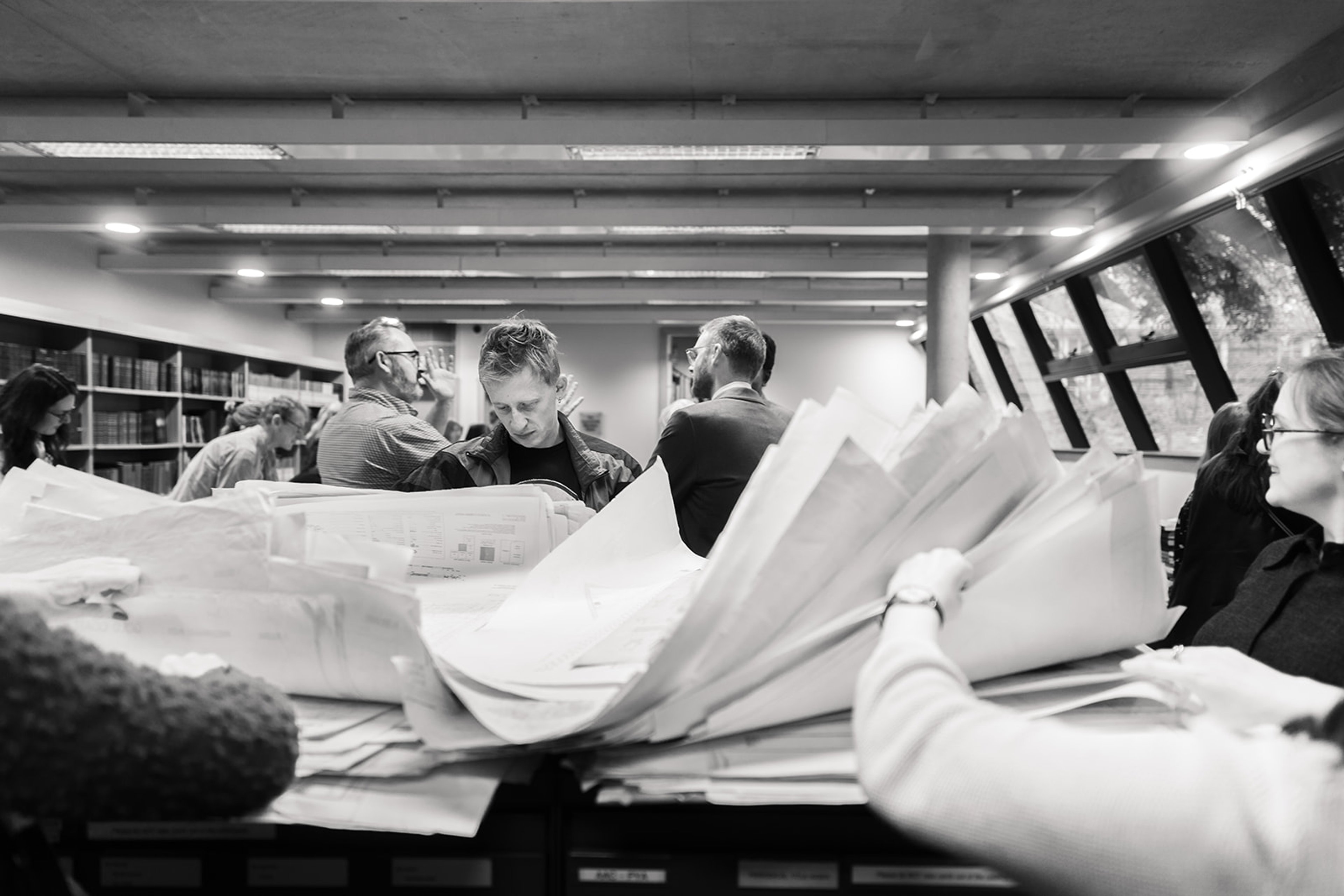
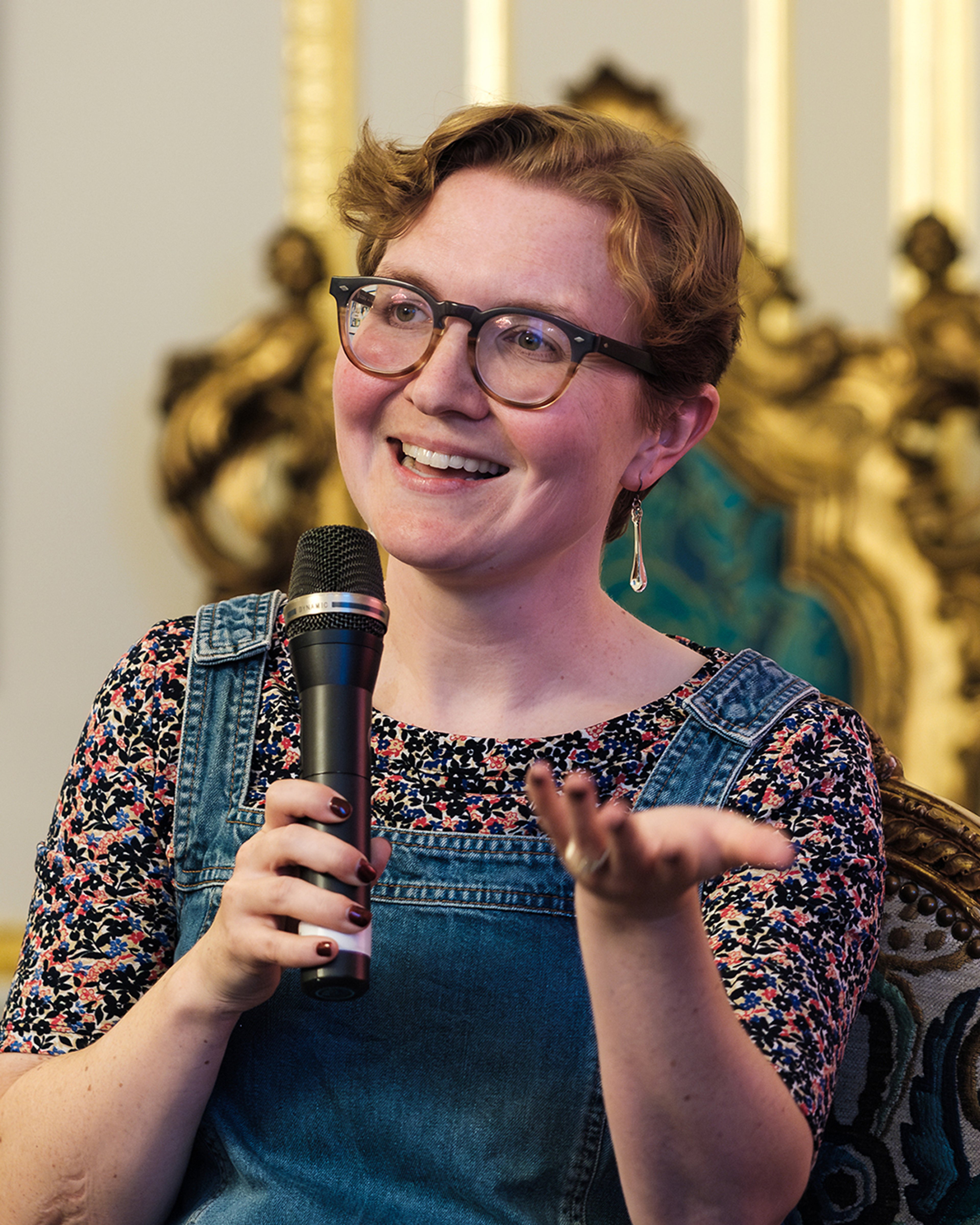
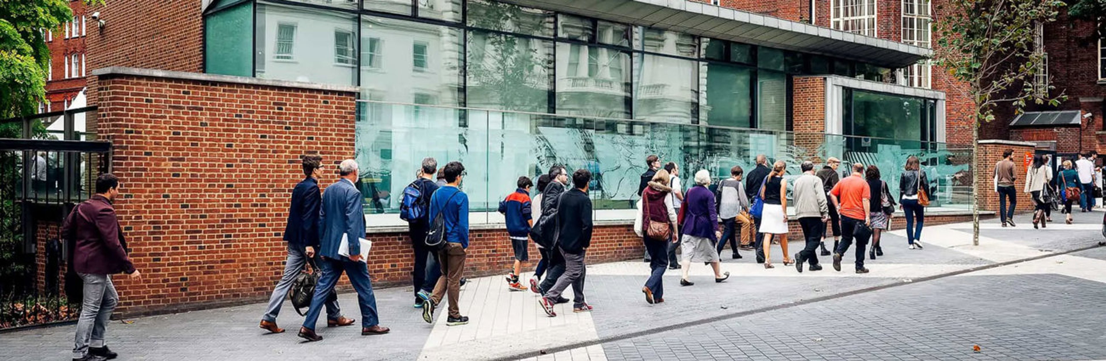
Thank you to everyone who joined us at our sold-out Sunderland Collection Symposium on Thursday 30 October at the Royal Geographical Society, and online.
It was a day of rich discussion and debate that brought together experts in the fields of cultural heritage, earth sciences, exploration, and geography. Each panel reminded us that every map has many stories to tell - and that maps take many forms, including sheets of paper, and the embodied performance of dance or narration.
Together, we examined how maps facilitated colonial control and were stripped of many toponyms, annotations, and personal histories. In contrast, we also learnt about how incredible projects using maps are slowly empowering Indigenous voices and enabling the re-remembering and preservation of stories and cultural practices.
We discussed the importance and relevance of maps in different cultures, how they have been used for scientific enquiry, and the concept of 'unexplored' territory. And we heard from seasoned explorers about their own map use during expeditions, their advice to inspire the next generation of adventurers, and so much more!
All event photography by Haych Digital. ©The Sunderland Collection.
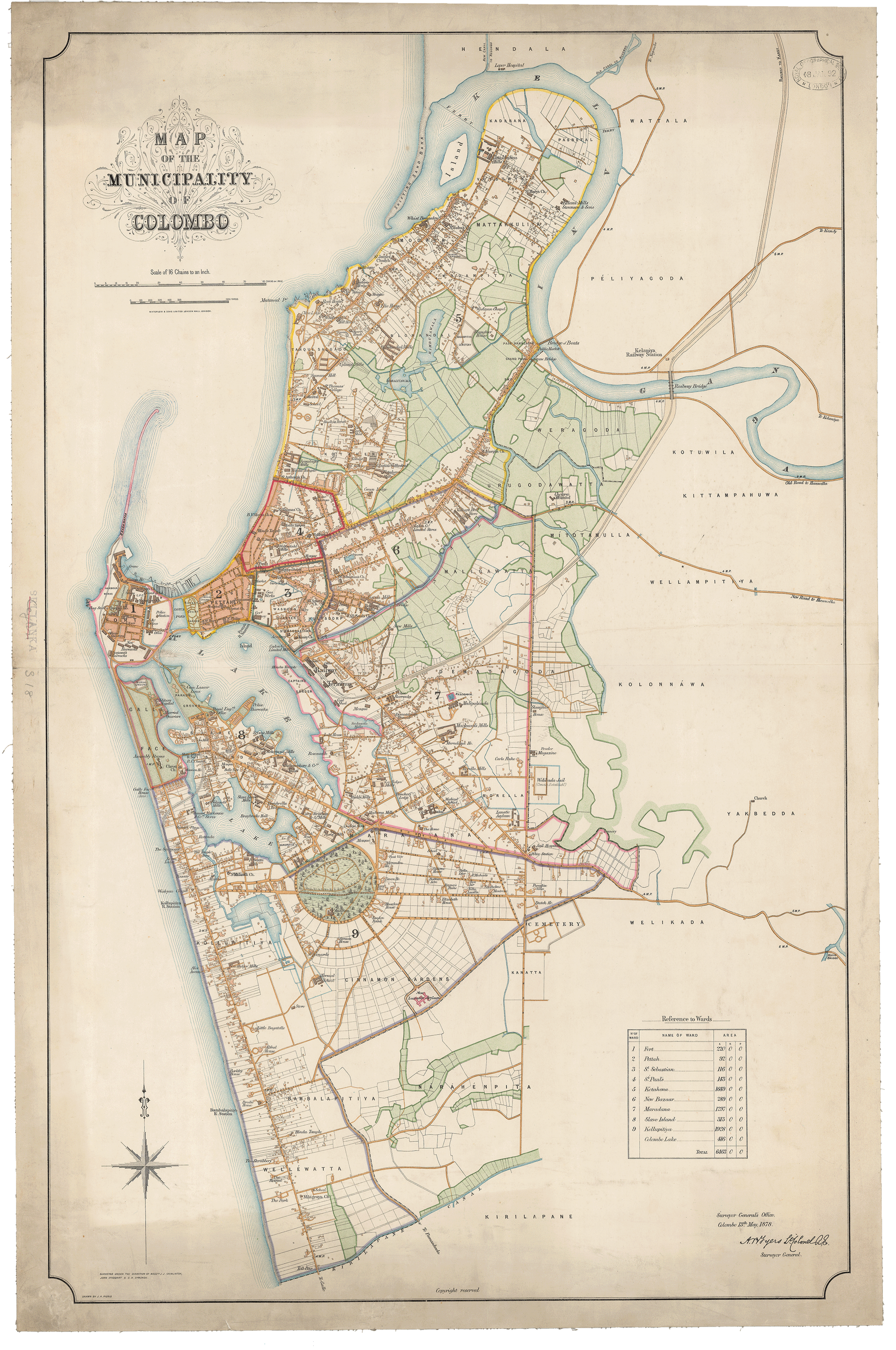
‘Map of the Municipality of Colombo’ (1878) RGS542559 ©RGS-IBG
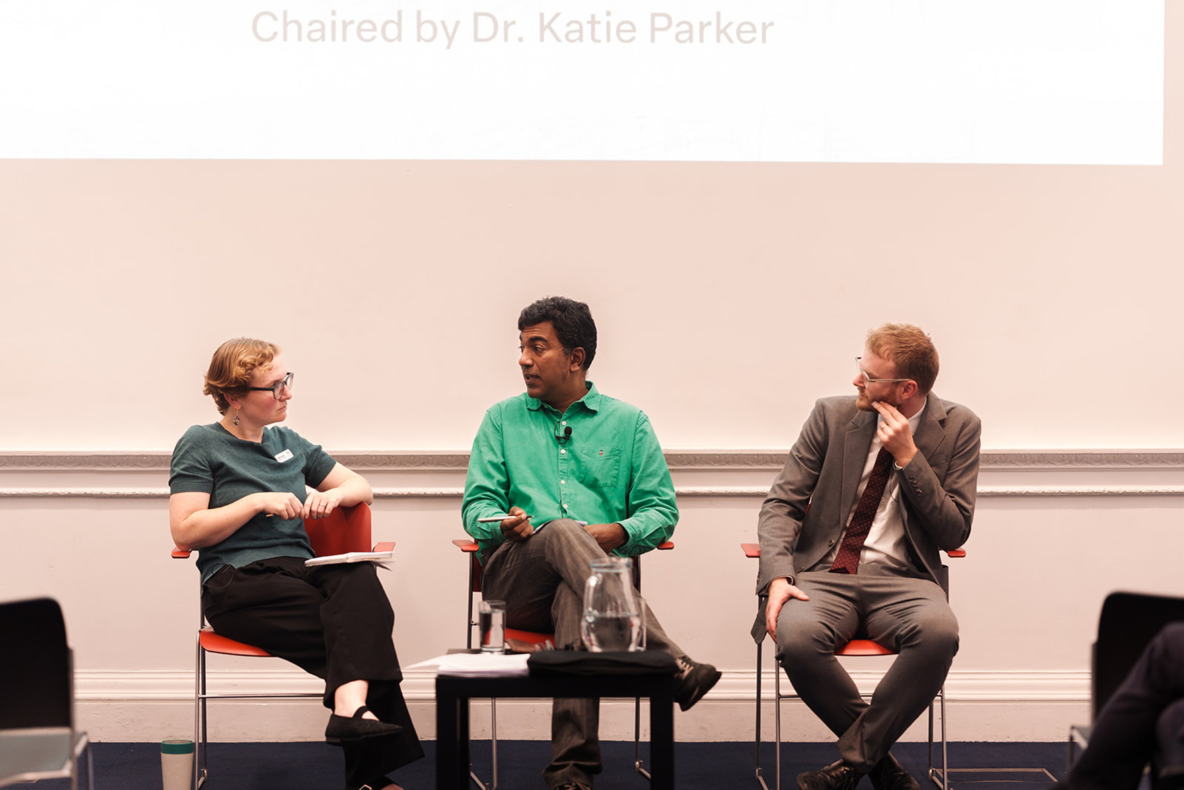
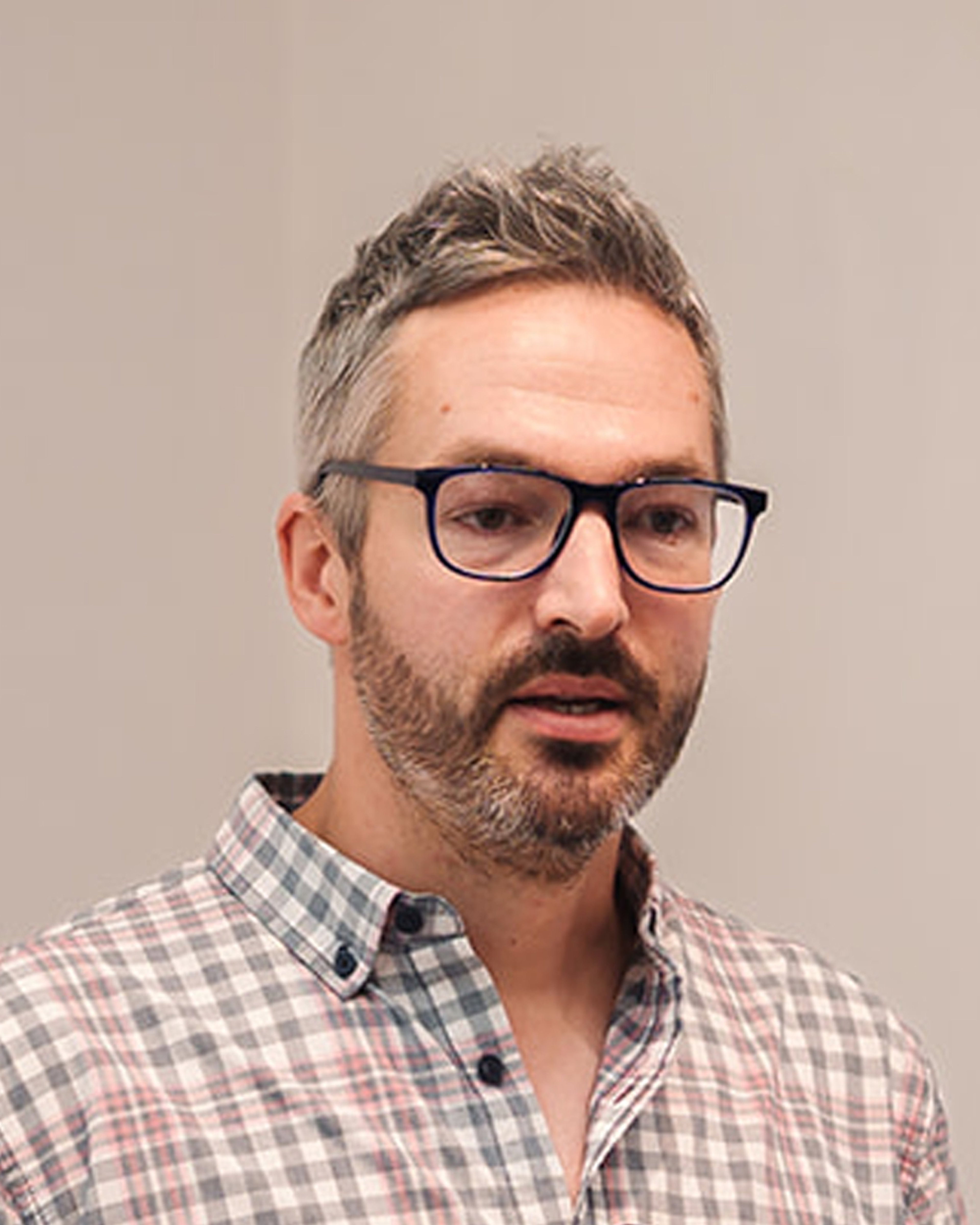
Panel 1 - Cartographic Encounters with Empire
Dr. Ed Armston-Sheret and Professor Sujit Sivasundaram, chaired by Dr. Katie Parker
How are maps and empire intertwined? How do maps reflect or challenge the power hierarchies of global empire? How can they reveal and elide the multiple minds and hands that go into making them?
Our panel took on these questions and more in an examination of the cartographies of empire in the modern periods.
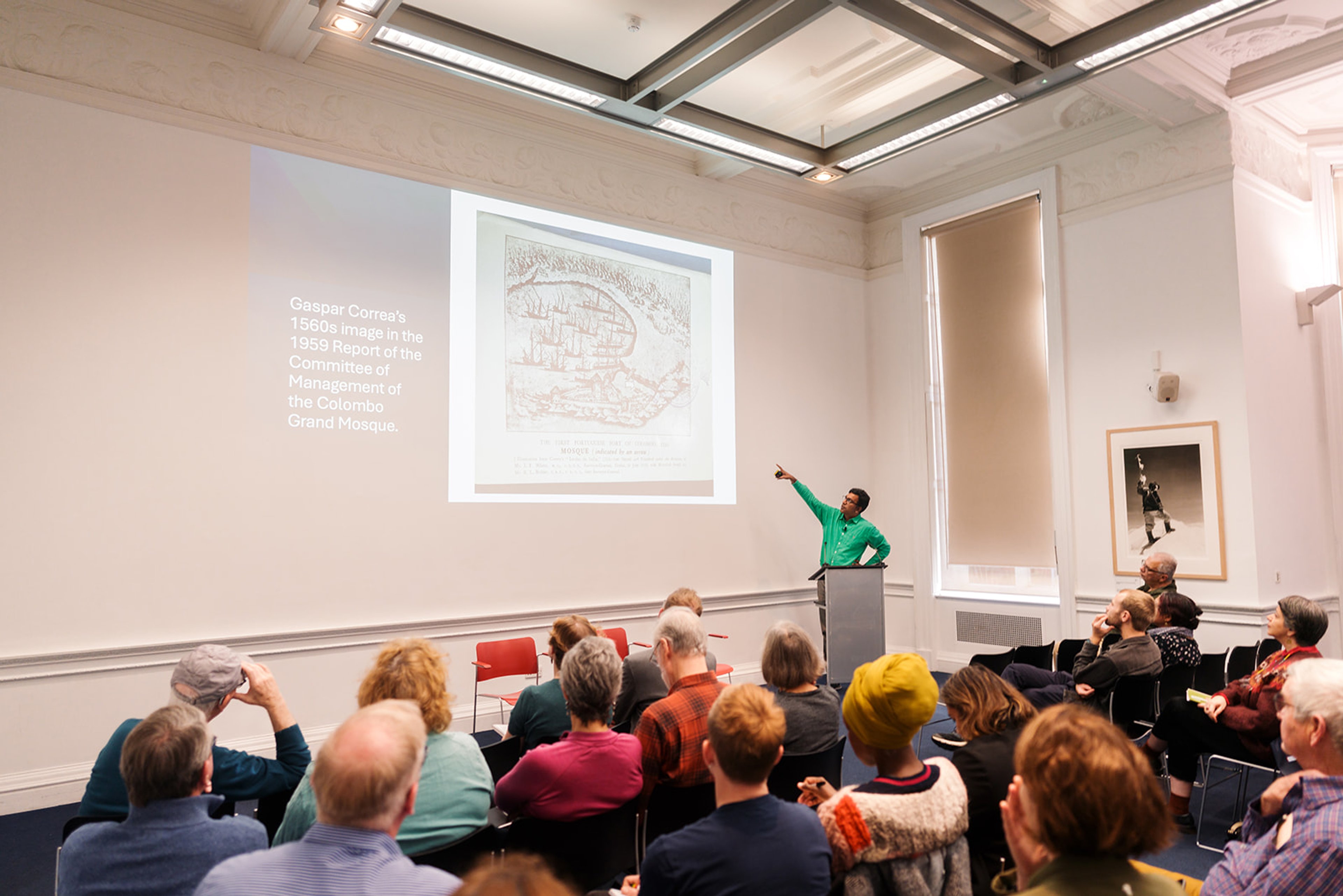
Ed's presentation features source material from the Archives of the Royal Geographical Society ©RGS-IBG.
Sujit's talk uses freely available images but he wishes to thank the Cambridge University Library, the British Library and the Sri Lanka National Archives for assistance. More information on Colombo Histories: colombohistories.org
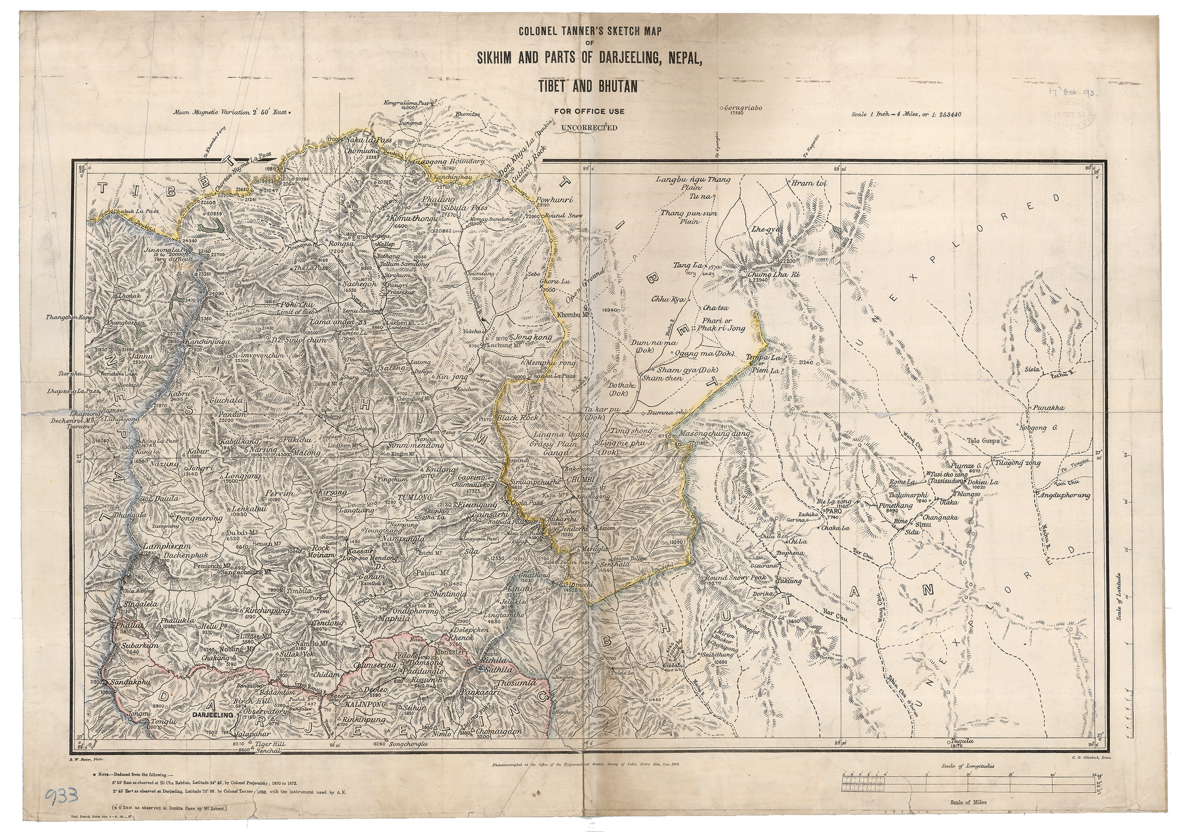
‘Sikkim & Parts of Darjeeling, Nepal &c. Col. Tanner's Sketch Map’ (1886) K32492 ©RGS-IBG
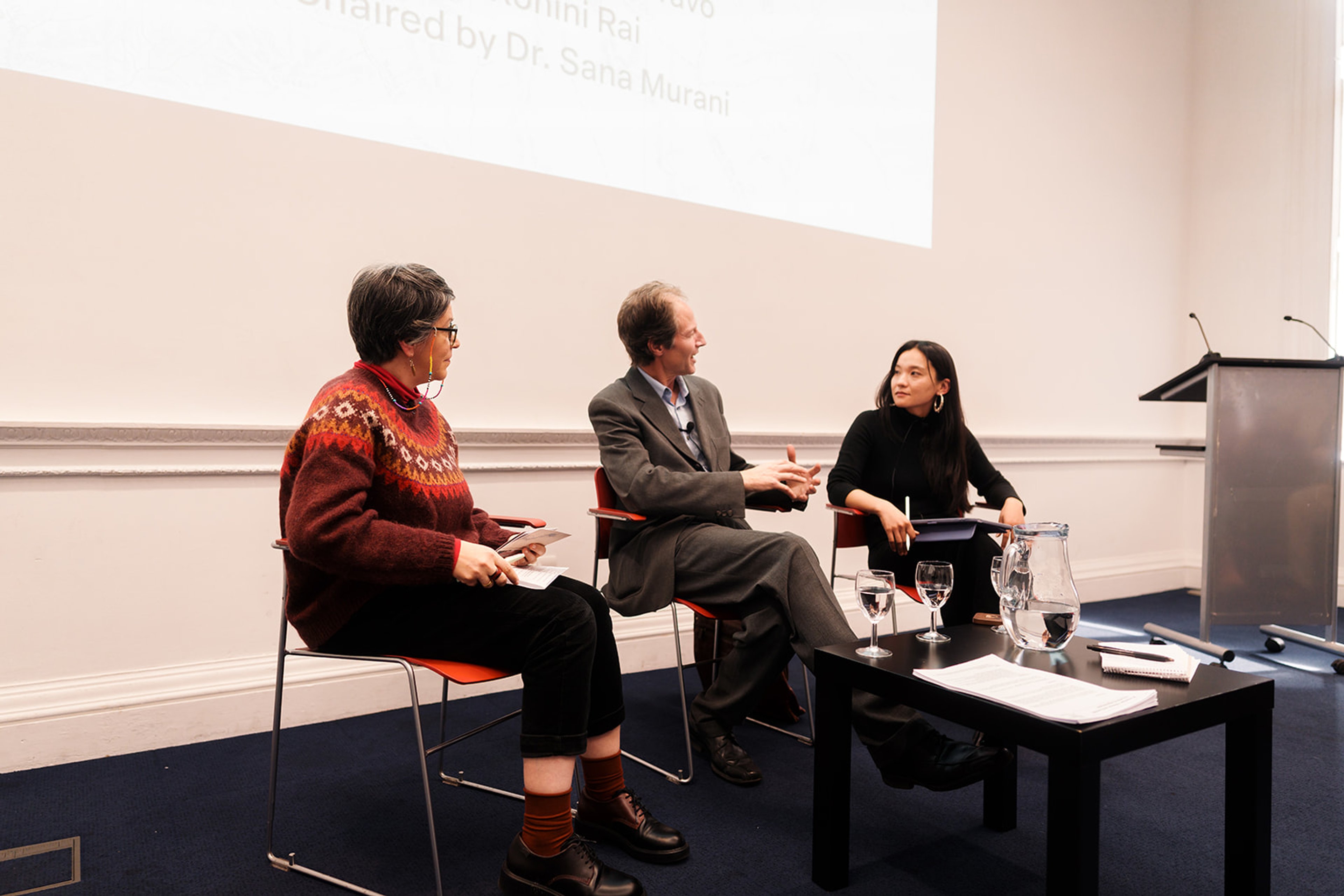
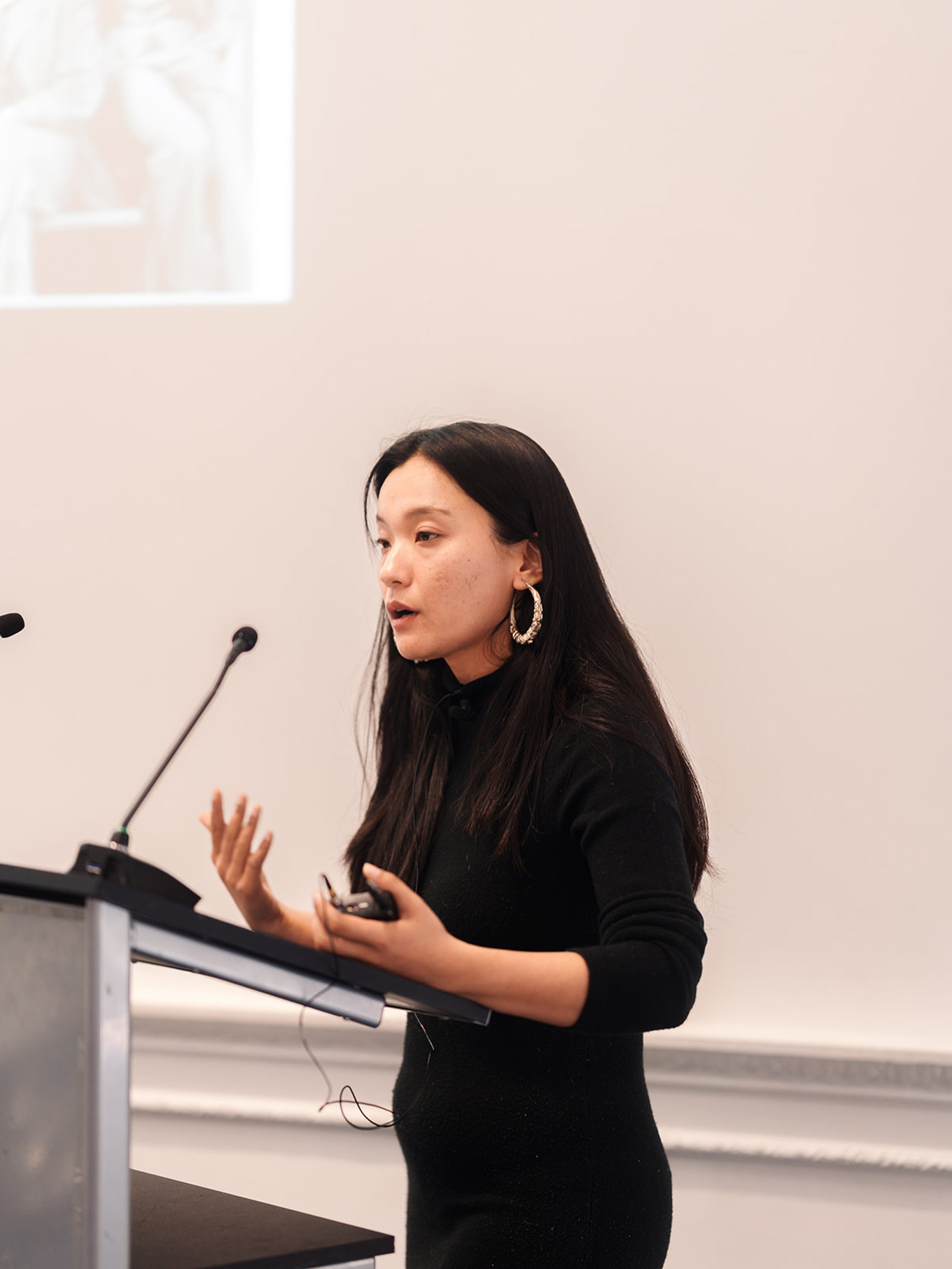
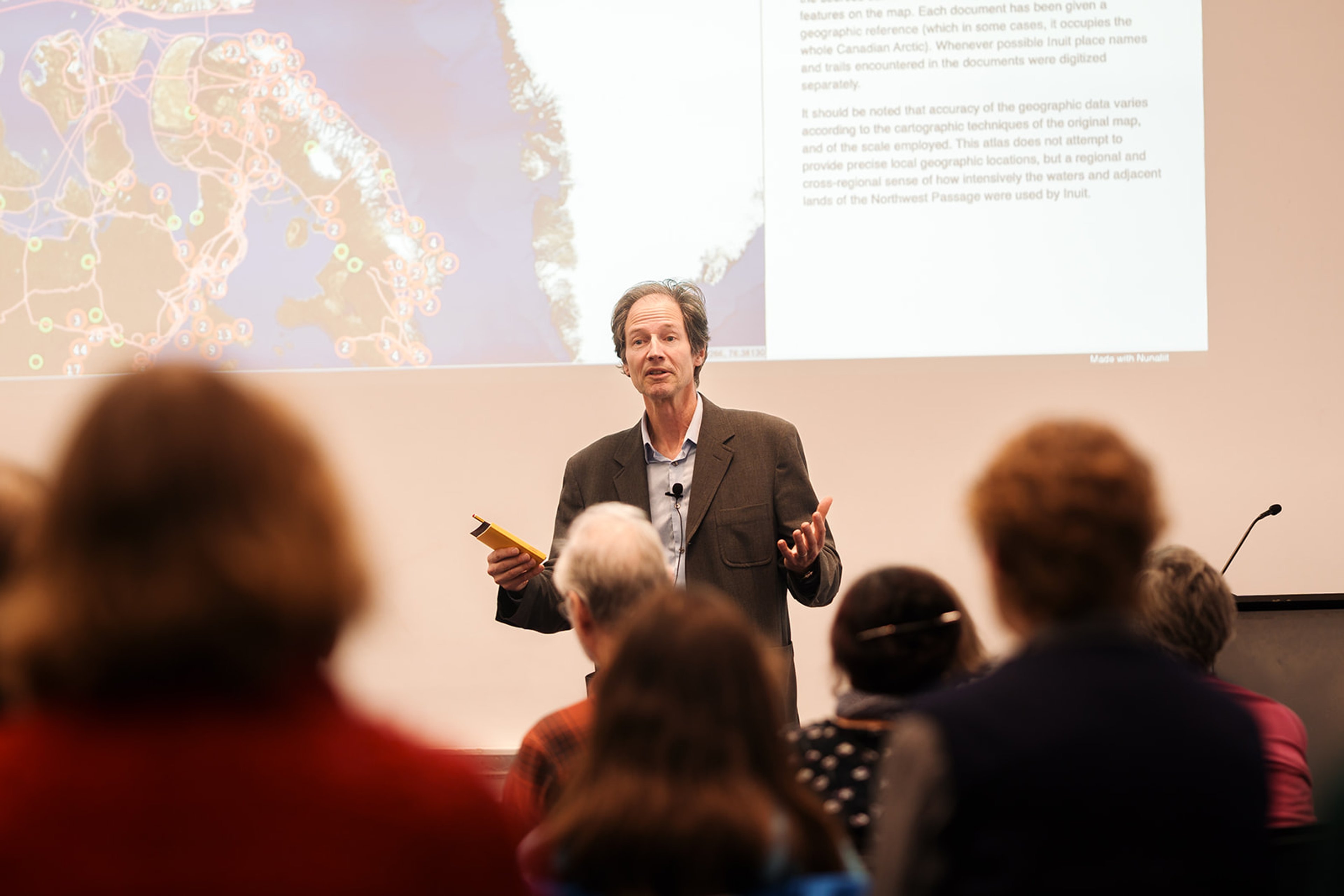
Panel 2 - Cartographic Encounters with Indigeneity
Professor Michael Bravo and Dr. Rohihi Rai, chaired by Dr. Sana Murrani
Western maps and map archives often erase or minimise Indigenous presence. However, maps can also be powerful tools for Indigenous peoples to (re)claim sovereignty, place names, resources, and more.
The panellists discussed their specific projects with peoples from the Arctic and the Himalaya, as well as more general issues of Indigenous maps and mapping.
Rohini's presentation features source material from the Royal Geographical Society Archives ©RGS-IBG and her own photographs.
Michael's presentation uses a screenshot of the interactive Google Map from paninuittrails.org which is a project funded by the Social Sciences and Humanities Research Council, co-directed by Claudio Aporta (Marine Affairs Program, Dalhousie University), Michael Bravo (Geography, University of Cambridge), and Fraser Taylor (Geomatics and Cartographic Research Centre, Carleton University).
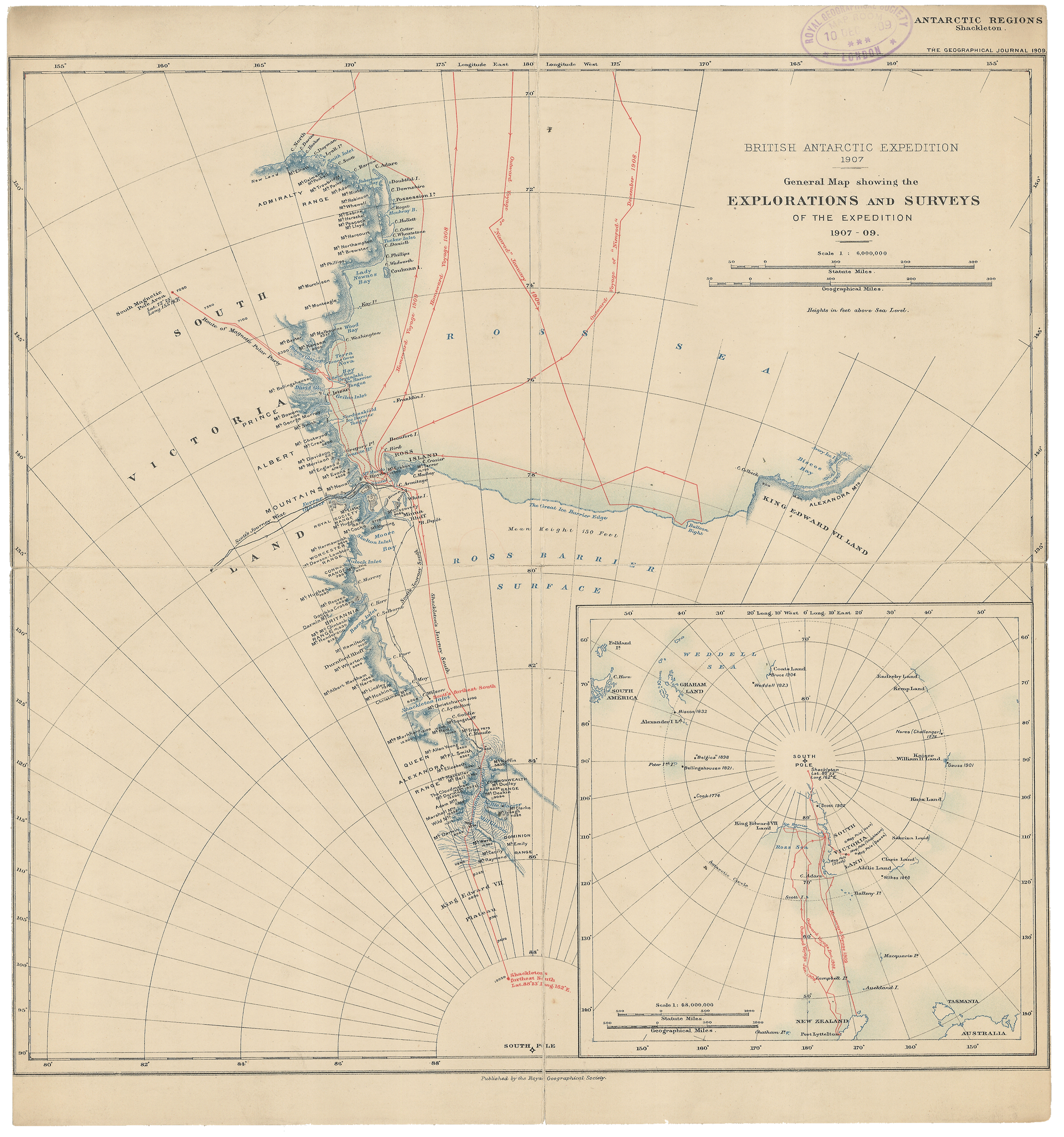
‘S. Victoria Land. General map showing the Explorations & Surveys of the British Antarctic Expedition 1907-1909 under the leadership of Sir E. Shackleton’ (1909) RGS566726 ©RGS-IBG
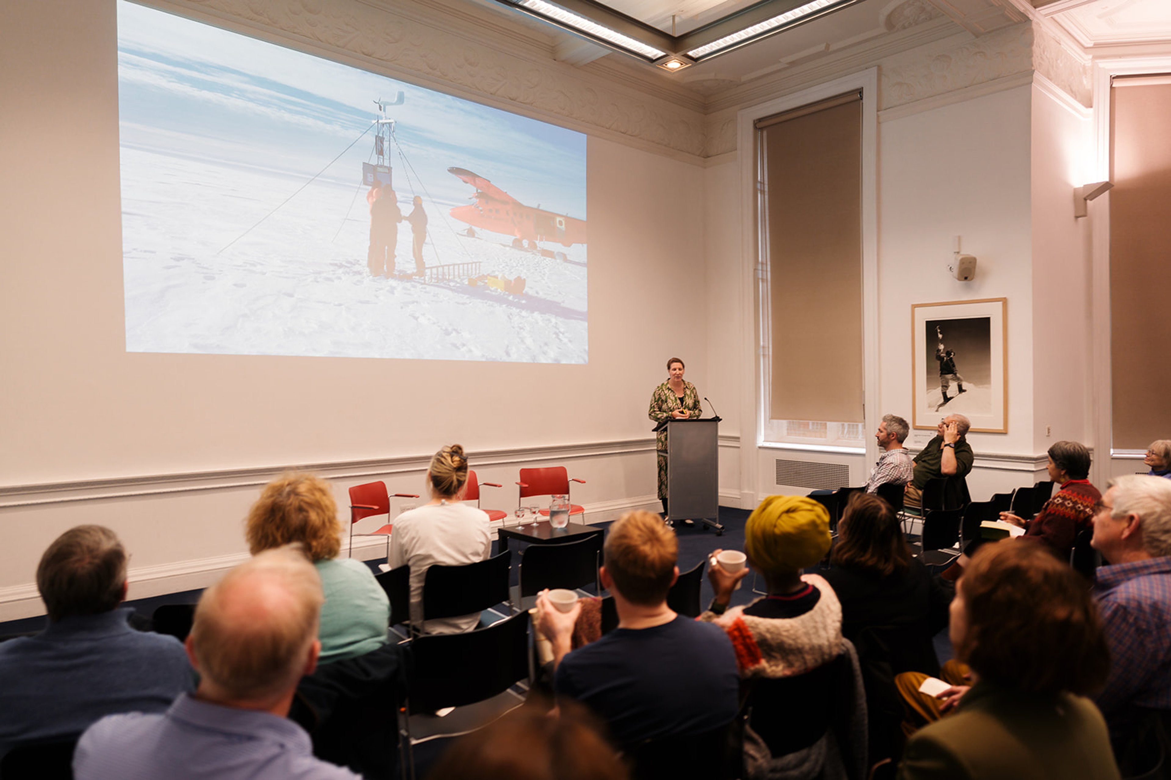
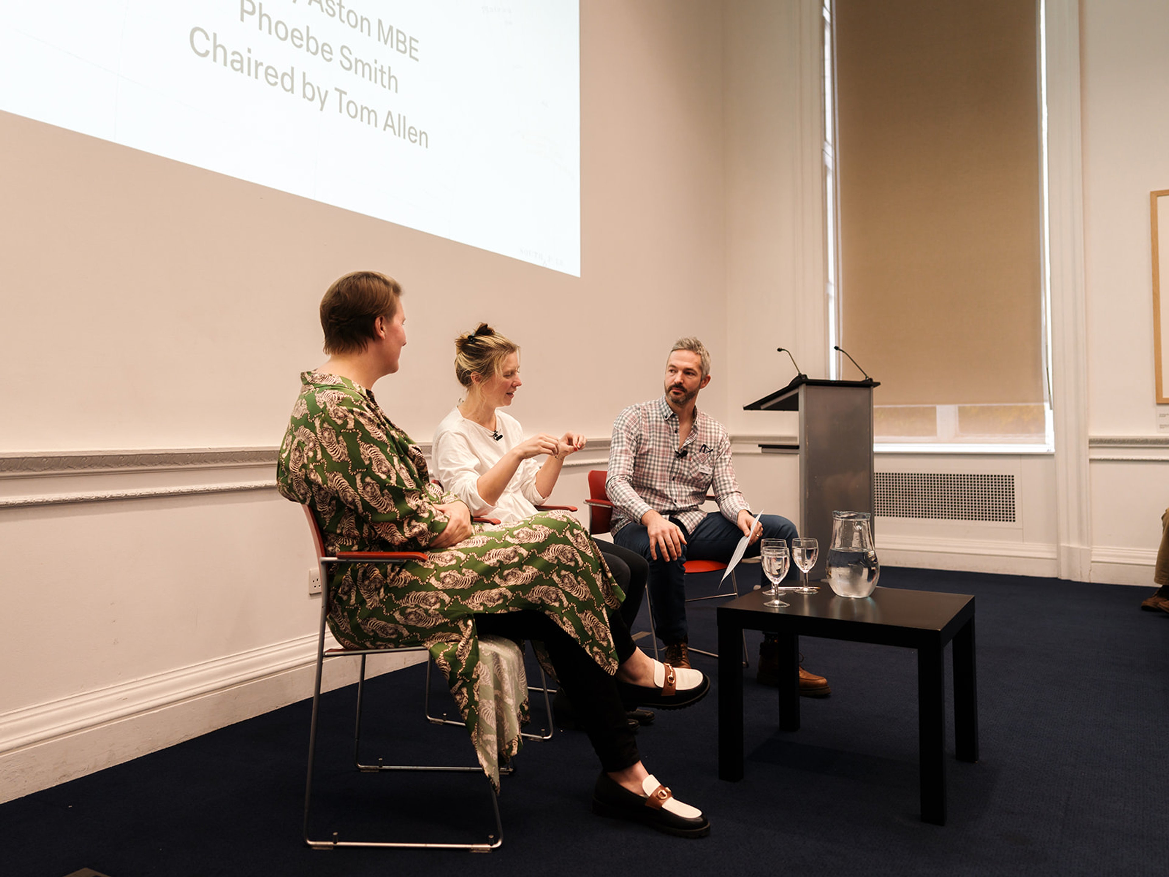
Panel 3 - Cartographic Encounters with Contemporary Exploring
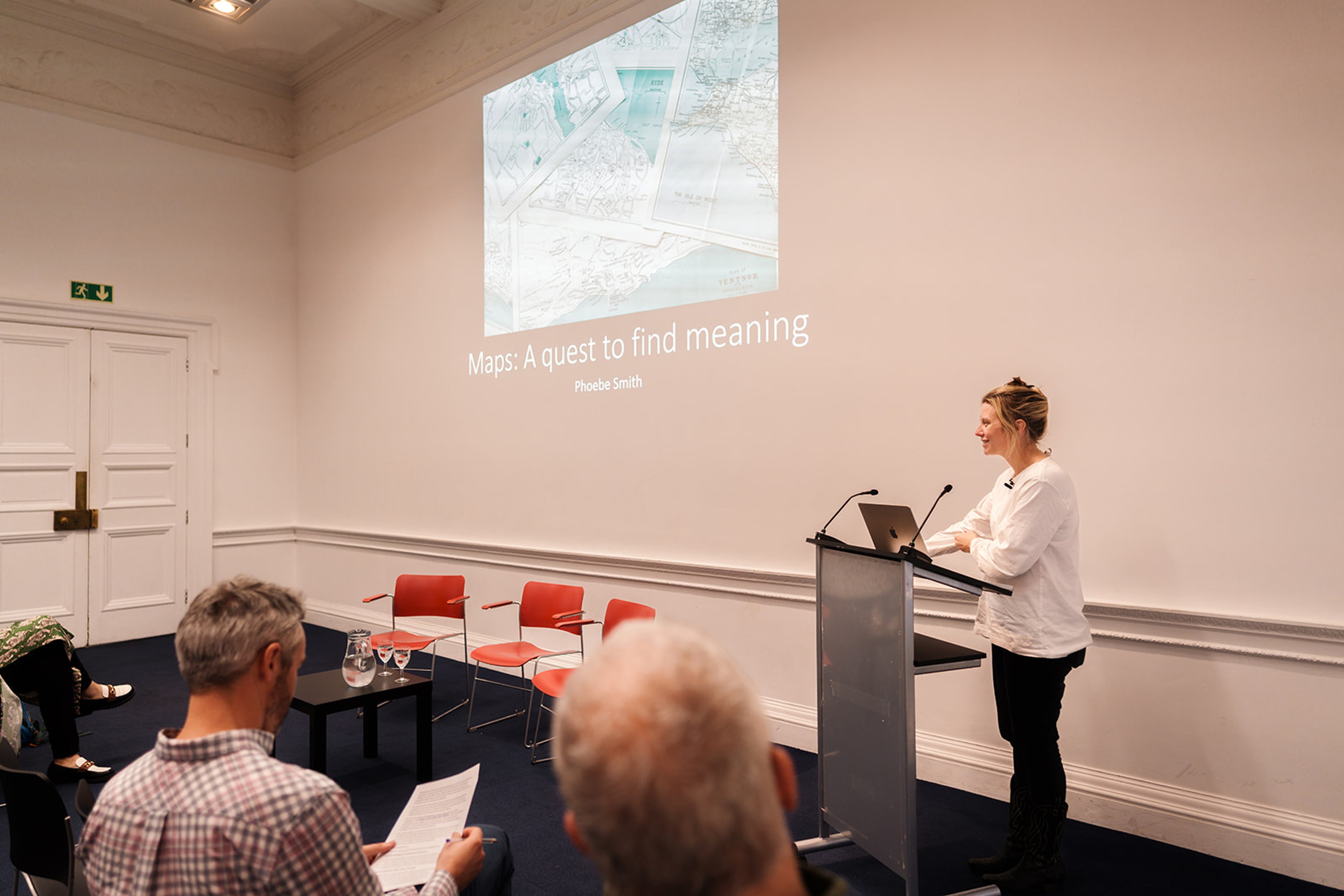
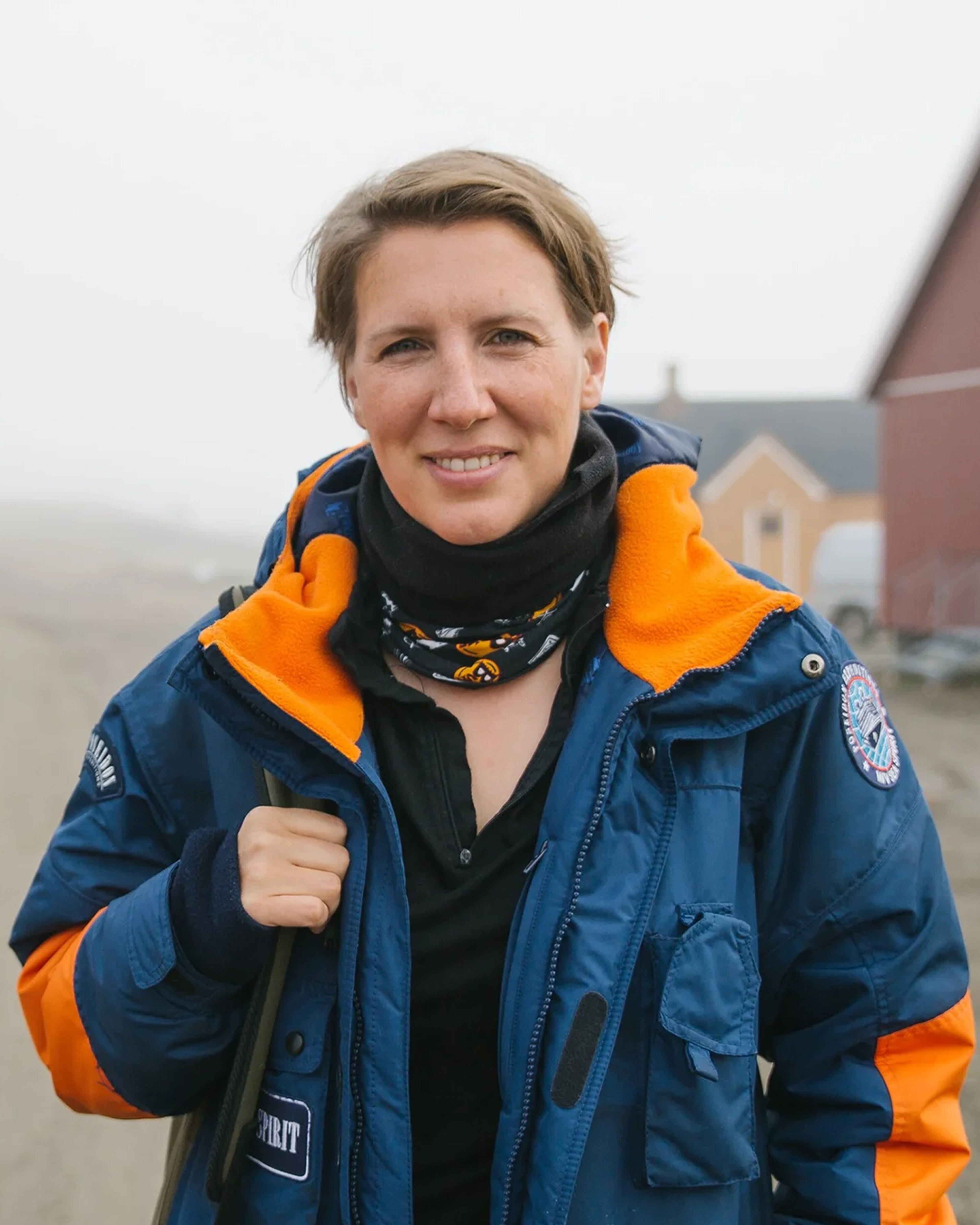
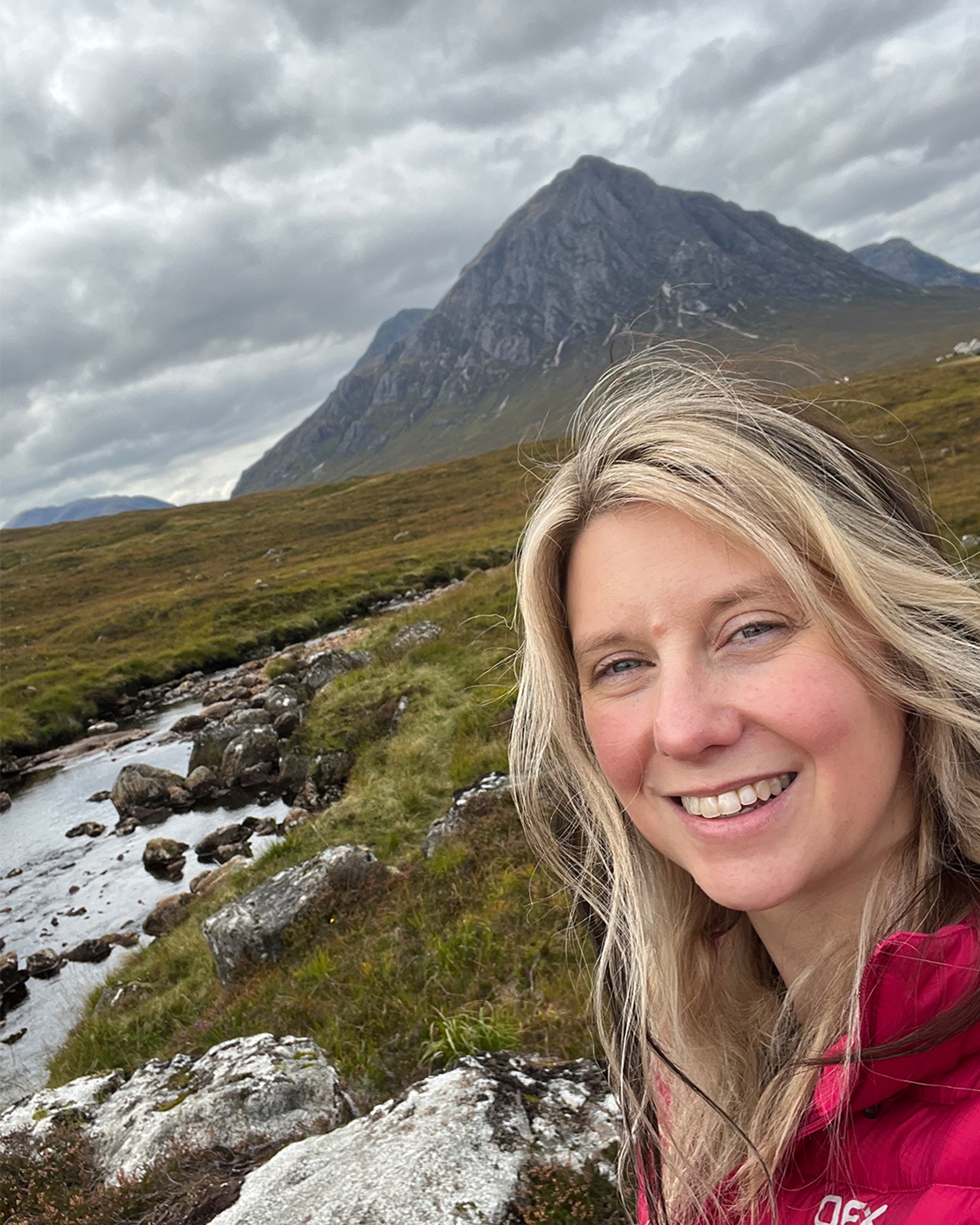
Felicity Aston MBE and Phoebe Smith, chaired by Tom Allen
Three pioneering explorers shared some of their favourite map and navigational stories, their personal contributions to mapping some of the world's most remote locations, and spoke of how historical maps influence and inspire their expeditions. Our panel will also consider the practical use of maps in contemporary exploration with the RGS' Expeditions and Fieldwork Manager.
For Phoebe's presentation, she uses the 1360 Gough Map (MS. Gough Gen. Top. 16) courtesy of © Bodleian Libraries; an Ordnance Survey map of Tryfan (OL17) © Ordnance Survey. All other photos her own.
Felicity uses images of Jet Navigation Charts ©US Defence Mapping Agency, all other images her own.
Meet the Speakers
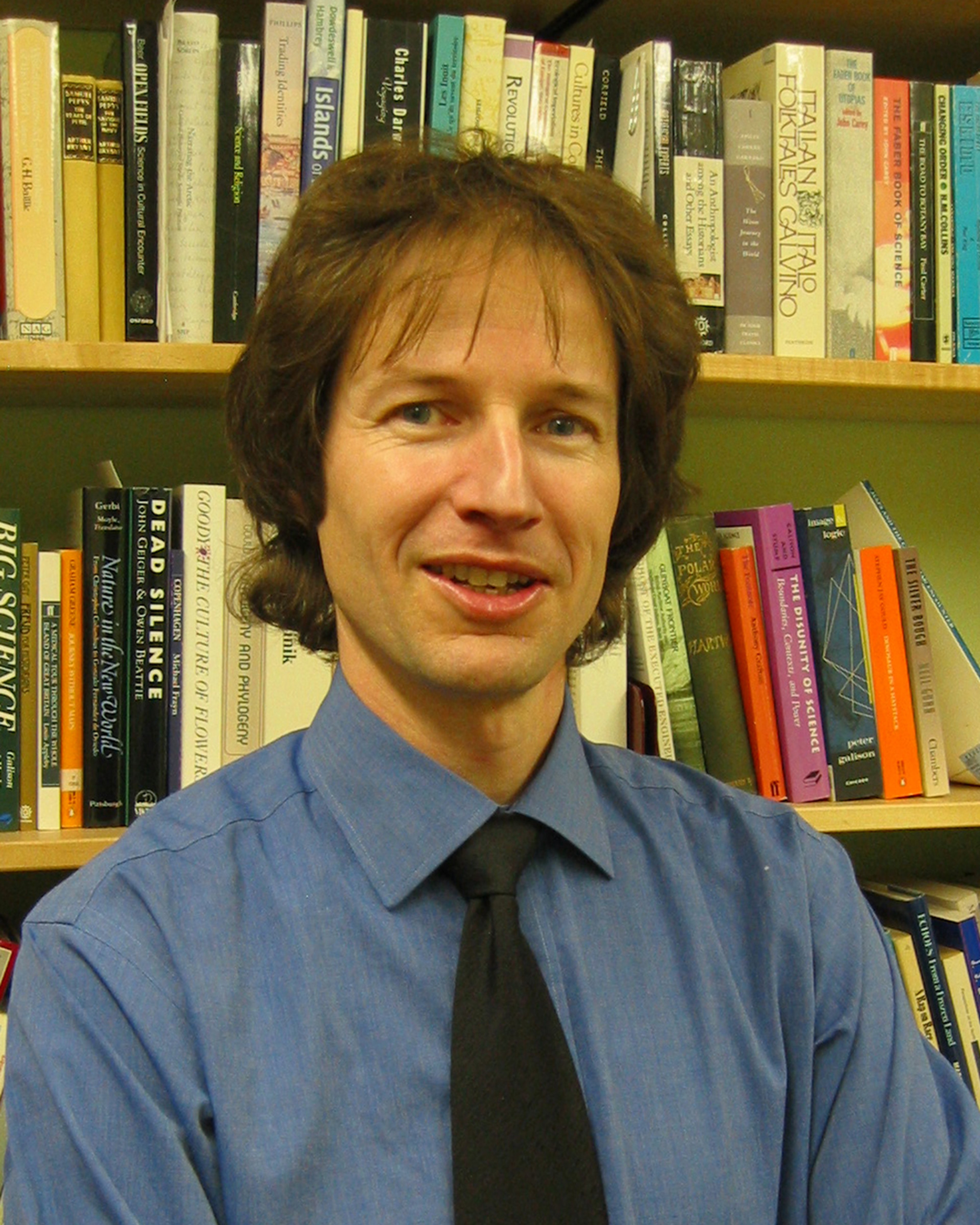
Dr. Ed Armston-Sheret is a historian of exploration with a PhD from Royal Holloway, University of London.
Alongside his role within the Research and Higher Education Team at the RGS-IBG, he is a Fellow at the Institute of Historical Research (School of Advanced Study, University of London).
Ed's first book, On the Backs of Others: Rethinking the History of British Geographical Exploration (2024, University of Nebraska Press), examines the relationship between empire and exploration. It shines a light on the contributions of the people and animals who made British journeys of 'discovery' possible, but who were often written out of history.
Sujit Sivasundaram is Professor of World History at the University of Cambridge and Fellow in History at Gonville and Caius College.
His book, Waves Across the South: A New History of Revolution and Empire (2020, University of Chicago Press) won both the British Academy Book Prize and the Bentley Book Prize in World History.
Centring on the Global South and paying particular attention to island nations and coastal communities in the Indian and Pacific Oceans, Sujit’s important book flips the Western-centric narrative of the ‘Age of Revolution’ on its head. It reveals a realistic perspective of empire between the late 18th and early 19th centuries and facilitates necessary conversations about imperialist violence, resource theft, environmental history, and the consequences of interfering in Indigenous futures.
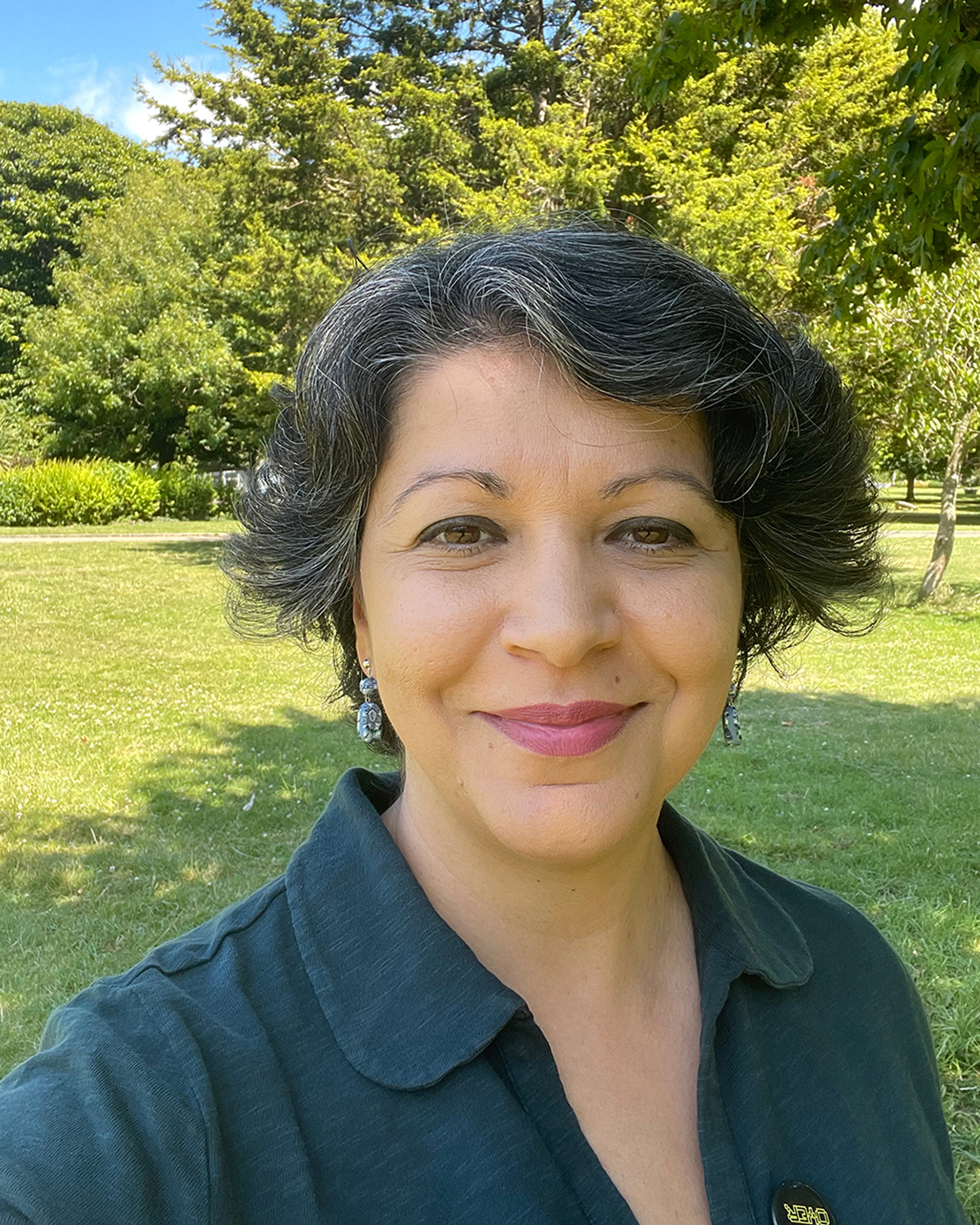
Dr. Katie Parker is the Cartographic Collections Manager at the RGS, where she promotes and preserves its collection of over a million maps, charts, atlases, globes, and gazetteers. Trained as a historian (PhD, University of Pittsburgh), Katie is an expert in the histories of maps and mapping, exploration, empire, and the early modern Pacific world. Her publications include Historical Sea Charts: Visions and Voyages Through the Ages (2021, White Star).
Katie teaches the history of maps and mapping at London Rare Book School (School of Advanced Study, University of London) and the History of Architecture at NYU London. She is Co-Editor of Imago Mundi - the international journal for the history of cartography - and Administrative Editor of the Hakluyt Society.
Michael Bravo is Professor of the History and Geography of Science at the University of Cambridge, where he is also the Head of the Living Cryosphere Lab at the Scott Polar Research Institute.
He is author of the acclaimed North Pole: Nature and Culture (2019, Reaktion Books), a cultural and scientific history of the Pole spanning five centuries from the Renaissance to the present day. The book explores humanity's long-standing obsession with this fascinating region, its role in imperialist ambitions, and how important it was for astronomers, philosophers, and politicians alike.
In June 2014, he launched with Canadian partners an online Pan-Inuit Trails Atlas spanning the Canadian Arctic drawing on maps drawn by Inuit from land claims and historical literature.
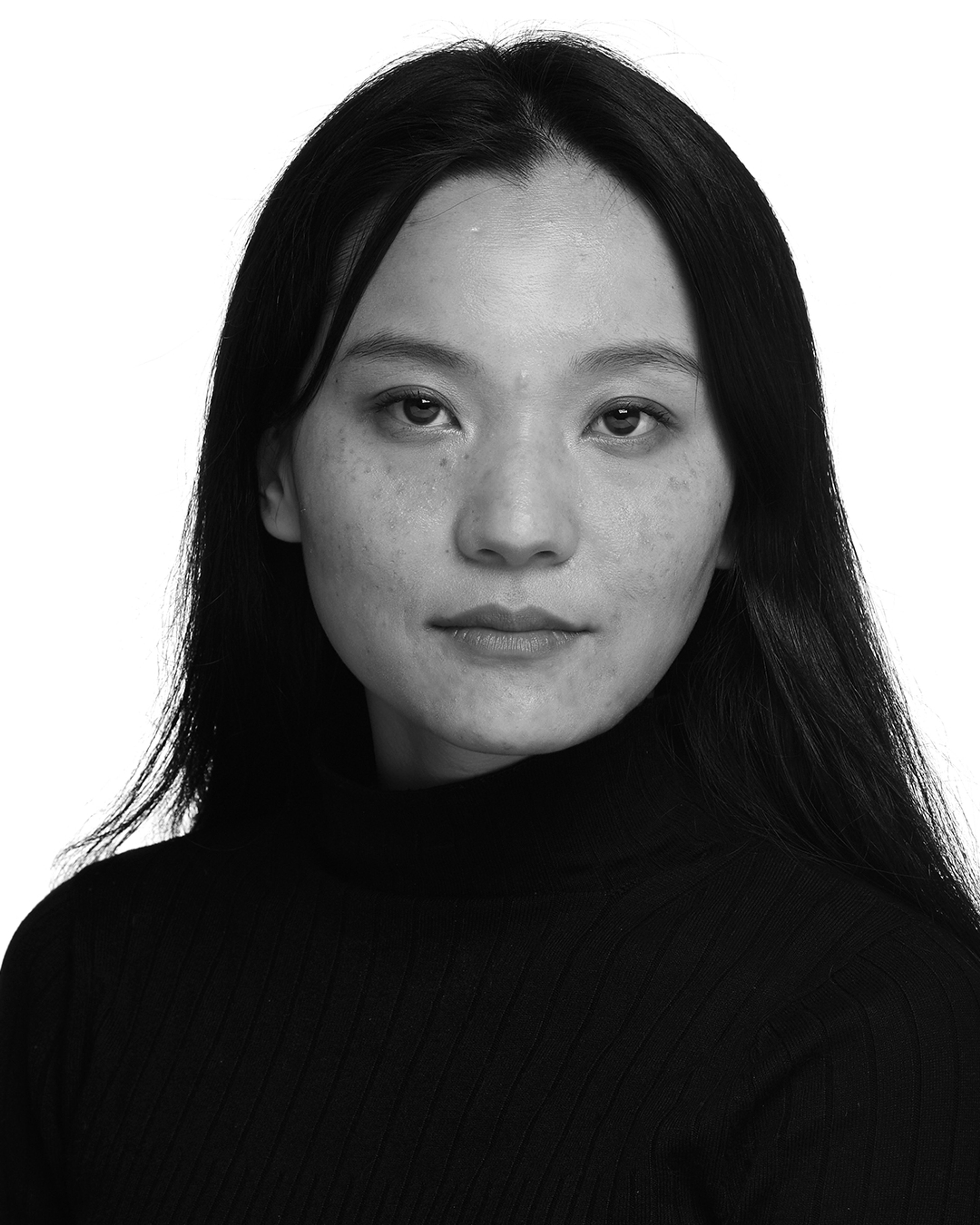
Dr. Rohini Rai is a sociologist of ‘race’, ethnicity, and migration, and currently the Lecturer in Sociology of Race at Brunel University of London.
Her areas of research include racialisation and indigeneity in relation to Northeast India and Eastern Himalayan borderlands. Rohini's current research focuses on the politics of indigeneity in the context of Eastern Himalaya and Himalayan diaspora in the UK, focusing on three elements- archives, dances and storytelling.
Outside academia, she is the co-founder of the Critical Himalayan Collective.
Dr. Sana Murrani is a creative researcher whose work explores critical cartography and heritage, as well as forced displacement and migration, through creative trauma-informed methodologies.
She is an Associate Professor in Spatial Practice at the University of Plymouth, founder of its Displacement Studies Research Network, and co-founder of the Justice and Imagination in Global Displacement Research Collective. Sana is currently a Visiting Senior Fellow at the London School of Economics Middle East Centre.
Sana is the author of Rupturing Architecture: Spatial Practices of Refuge in Response to War and Violence in Iraq (2003–2023) (2024, Bloomsbury).
Felicity Aston MBE is a British polar explorer, author, speaker, and student research scientist. In 2012, she became the first woman to ski alone across Antarctica: a journey that earnt her a place in the book of Guinness World Records!
Her Kaspersky Lab Commonwealth Antarctic Expedition was the first to ‘Tweet to the Pole’ and material from her Pole of Cold Expedition has been developed into a travelling art exhibition.
Felicity has written five books and regularly produces articles for various publications in the UK and abroad. She is currently undertaking research investigating airborne microplastic deposited on Arctic Ocean sea ice based at the National Oceanography Centre and the University of Southampton.
Phoebe Smith is an adventurer and award-winning travel writer, photographer, presenter and broadcaster. In 2025, she was presented with the Ness Award by the RGS for her promotion of accessible adventure, particularly to women and those from under-privileged communities.
Phoebe is author of 11 books including Extreme Sleeps and Wayfarer: Love, Loss and Life on Britain’s Pilgrim Paths (2024, HarperNorth) which was shortlisted for the Edward Stanford Travel Book of the Year 2025.
She is co-founder of the #WeTwo Foundation, a charity empowering underprivileged youngsters through carbon negative expeditions. She was awarded the Sustainability Travel Writer of the Year 2025 at the TravMedia Awards.
Tom Allen is the Royal Geographical Society's Expeditions and Fieldwork Manager. He is an explorer, author, trail prospector and responsible travel advocate specialising in the Caucasus region. In addition to supporting fieldwork and expeditions practitioners, Tom works to expand the Society’s assistance to many more people, from leading experts to the simply curious, who want to make the world a better place as they travel with purpose and develop geographical knowledge.
In 2016 he was the recipient of the prestigious Land Rover Bursary, helping establish a new Transcaucasian Trail long-distance trekking route across the Caucasus region, and exploring and mapping the trail’s first national section across Armenia. He has published numerous blogs, books and documentary films inspired by expeditions made on foot, bicycle, horseback, and by packraft, as well as building an online resource for budding bicycle travellers in the form of his long-running blog, TomsBikeTrip.com
About the RGS
The Royal Geographical Society is a learned society, professional body and registered charity with over 14,000 members that has been dedicated to the advancement of geographical science since its founding in 1830.
Today, they deliver this mission by developing, supporting, and promoting geographical education, research, expeditions and fieldwork, and professional practice, as well as by advocating on behalf of the discipline.
Their broad public and cultural engagement programme - alongside their historical Collections of over two million items spanning 500 years of geography, travel and exploration - support their aim to foster an understanding and informed enjoyment of the world we live in. Everyone with an enthusiasm for geography, travel and exploration is welcome to join.
You can explore all the RGS' wonderful resources, research, and upcoming events - and of course its maps! - online at RGS.org
The Sunderland Collection would like to extend its sincere thanks to the Royal Geographical Society, in particular to Cartographic Collections Manager Dr. Katie Parker and the RGS Events team for their assistance in producing and co-ordinating this event. We are highly appreciative of the Society's support and enthusiasm for The Sunderland Collection's mission.
© RGS-IBG
About The Sunderland Collection
The Sunderland Collection is a curation of early maps and atlases based in Switzerland. It aspires to be as accessible as possible for study or pure enjoyment, and to use maps to support ideas, creativity, journeys, inspiration, and discussions. The Collection was founded over 40 years ago by Dr. Neil V. Sunderland (FRGS) and is managed by Helen Sunderland-Cohen (FRGS).
The Sunderland Collection Symposia are dynamic, hybrid conferences that aim to bring map enthusiasts of all backgrounds into conversation with the latest ideas and cartographic developments.
Click below to find out about our inaugural Symposium, Maps are too Exciting! Digital Innovations in Mapping, held at the Bodleian Libraries in Oxford (October 2024).
In our podcast, WHAT'S YOUR MAP? you can enjoy more conversations about maps and mapping with an eclectic range of international guests!


Sign up to our newsletter and be notified of the next Sunderland Collection Symposium!