Patricia Seed
Series 6 Episode 3
Rounding the Cape with Patricia Seed
Series 6 Episode 3
Available on all major podcast platforms: click the icons or hit 'play' to listen now.
In this episode, Jerry meets with Patricia Seed, an American professor of history at the University of California, Irvine. Patricia has spent her career mapping the earliest voyages of European ‘discovery’ that transformed our world. Specialising in the history of cartography and navigation, she is a foremost authority on latitude.
Together they discuss a landmark world map in The Sunderland Collection, colloquially known as the Ulm Ptolemy - so called for its inclusion in Lienhart Holle’s Cosmographia (1482) which was published in Ulm and based on the geography described by Claudius Ptolemy in the 2nd Century CE.
This map was created just six years before the Portuguese ‘rounded’, or sailed south around, the tip of Africa in 1488. It offers a fascinating snapshot on the eve of a global revolution. Using the map as a touchstone, Patricia and Jerry talk about the key developments in late fifteen-century maritime navigation and the significance of the voyages by Portuguese explorer Bartolomeu Dias (1450-1500).
We also hear from Patricia on how this development brought about a whole new world view and also acted as the catalyst for one of the darkest periods of world history - the Transatlantic slave trade.
To explore the map as you listen to the episode, click the image below:
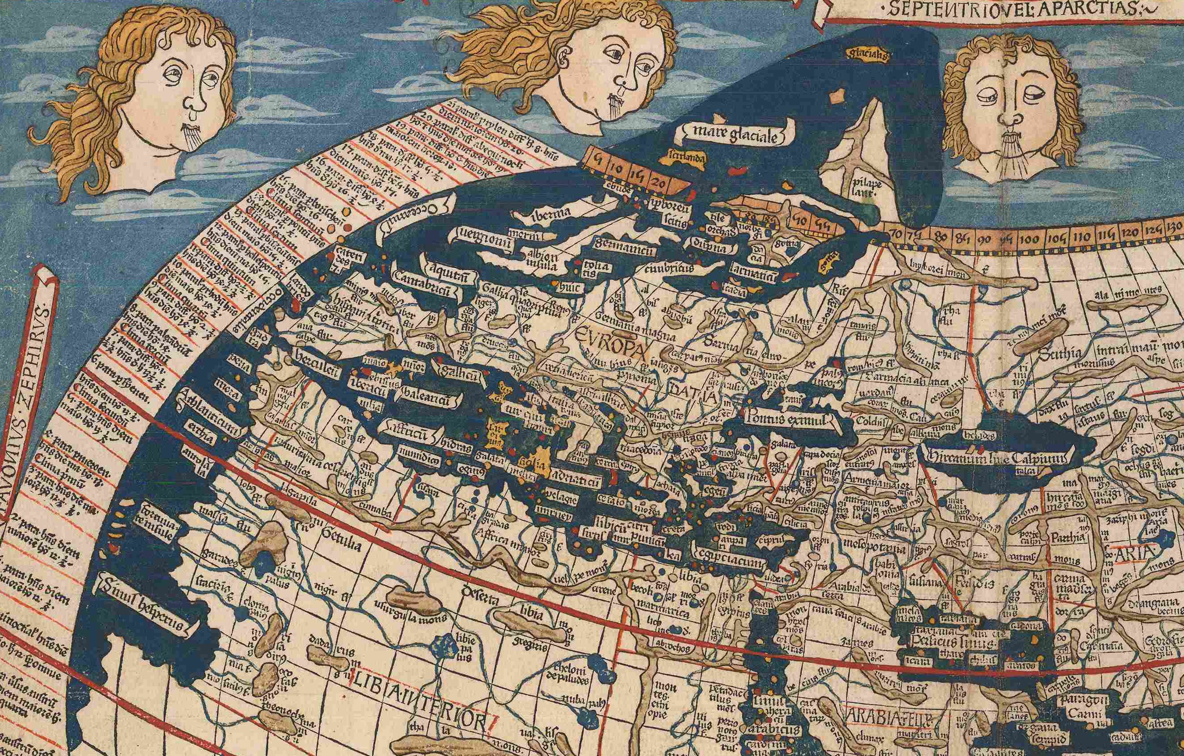
The ‘Ulm Ptolemy’ world map (1482) ©The Sunderland Collection
This map was issued by Lienhart Holle (fl. 1478-1492), a notable printer and publisher based in Ulm, Germany. In 1482, Holle published his own edition of Claudius Ptolemy’s Geographia. Titled Cosmographia, this influential work added new maps of Spain, France, Italy, Palestine and Northern Europe to the twenty-six classical maps and became the first printed book of maps produced north of the Alps.
This incredibly handsome world map has been printed from a woodblock, and is surrounded by a decorative border featuring the twelve cardinal windheads. The rich contemporary hand-colour includes a luxurious deep blue made from lapis lazuli, an extraordinarily expensive colourant originating from Afghanistan.
As one of the most famous early world maps, this captivating map integrates traditional geographical concepts from Ptolemy’s Geographia with up-to-date cartographic insights and European 'discoveries', and is far from a practical navigational map.

The world - as known to Europeans - is rendered on a homeotheric projection, which Patricia delightfully refers to as the "party hat projection." You can find out more about different map projections throughout history here.
Geographically, the map extends from Great Britain and the Canary Islands in the West, China in the East, and North Africa in the South. The Indian Ocean features a large island at its centre - Taprobana (modern day Sri Lanka) - and a new addition of Scandinavia appears as an extension of the map above the neat-line in the North Atlantic.
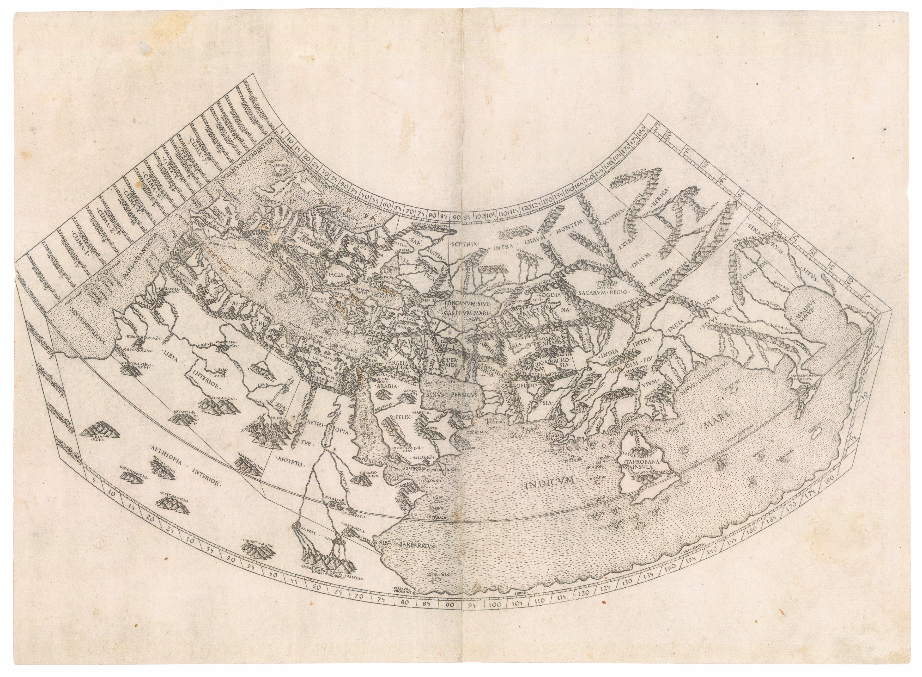
The Indian Ocean is depicted as an enclosed lake, bounded by a landmass that stretches horizontally to connect the continents of Africa and Asia. As Patricia and Jerry note, this concept stems from a long-held perspective found in Ptolemaic maps. Consequently, it was widely believed that circumnavigating Africa by sea was impossible, meaning explorers would have to travel overland to access parts of East Africa, the southern coast of Asia, and the Indian Ocean.
As you can see, many of the early world maps in The Sunderland Collection exhibit this curious land extension:
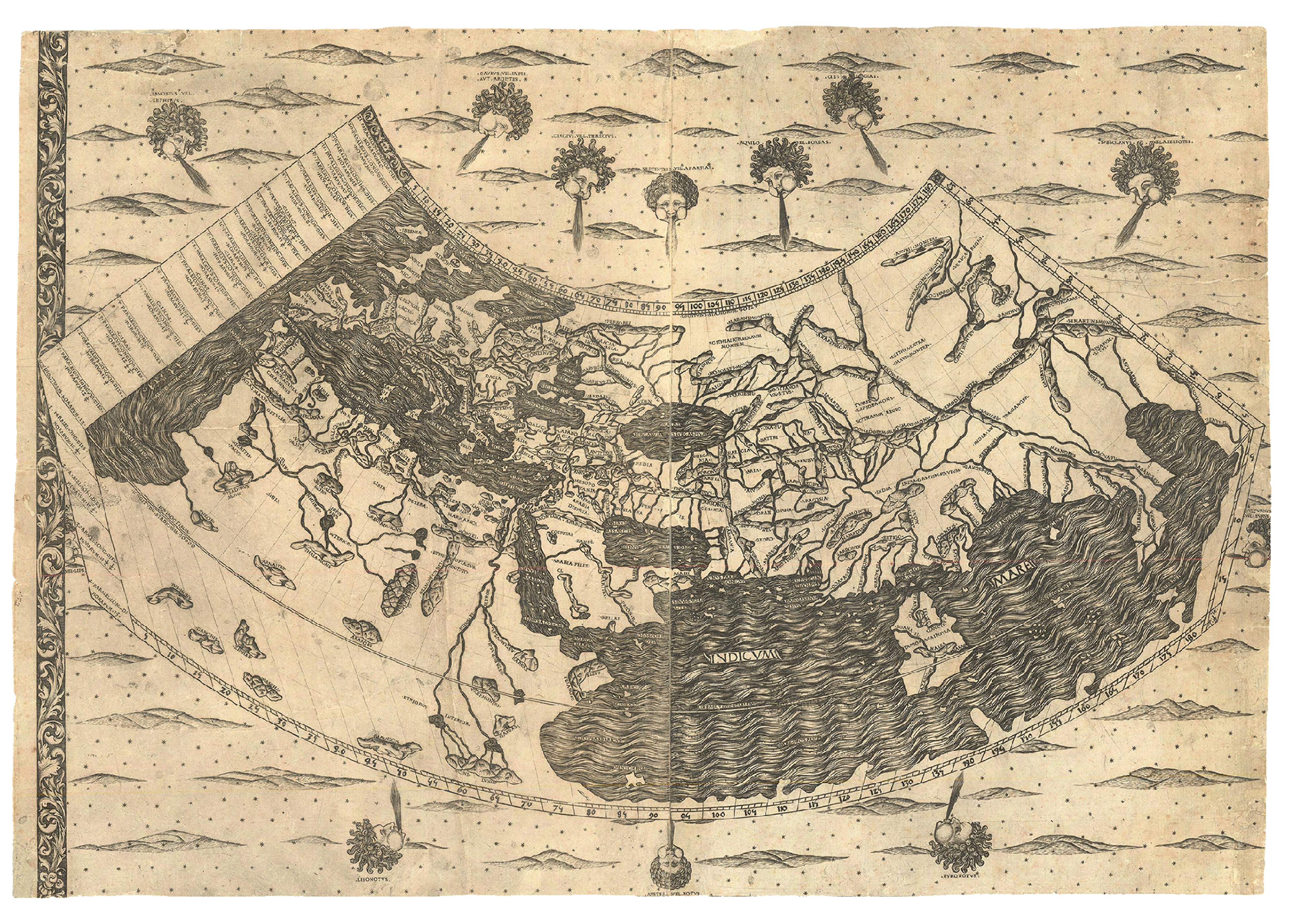
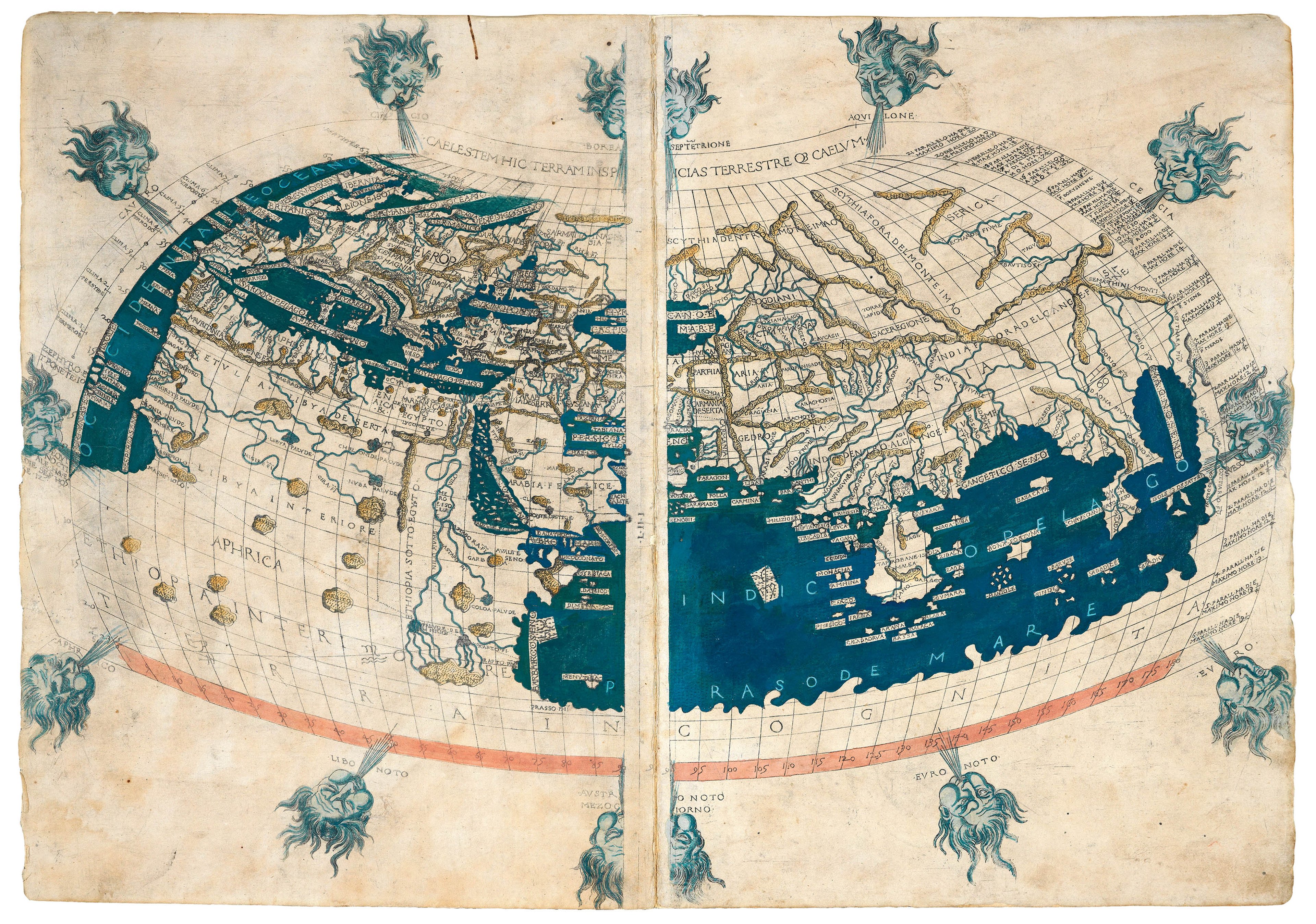
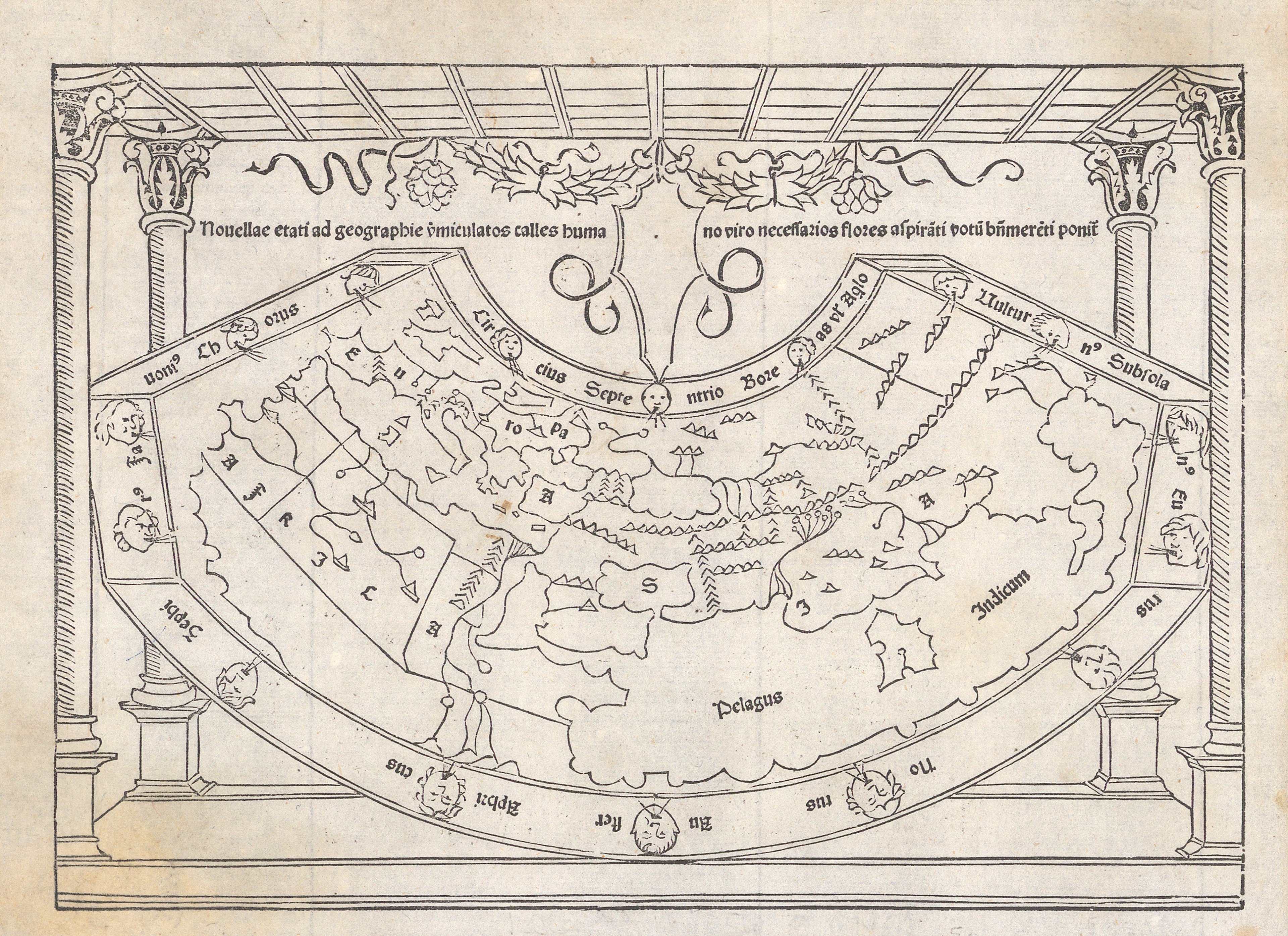
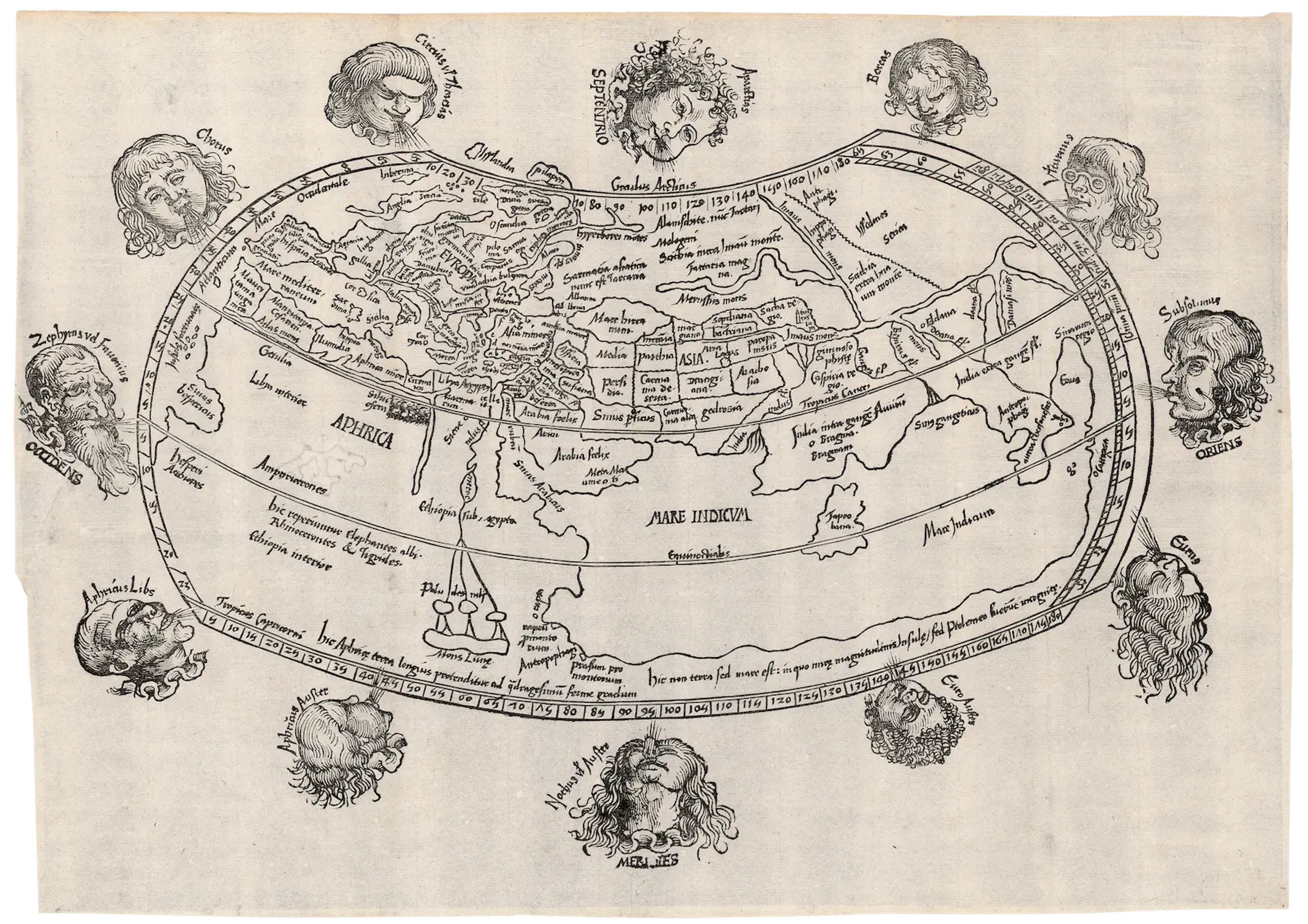
The mapping of Africa's western coastline represented a critical turning point for maritime exploration - though it is frequently overshadowed by the fascination with the ‘New World’ (the Americas).
Navigating past the 26th parallel north of the equator and east around the bulging cape with its treacherous expanse of shallow water and red sand, posed immense difficulties for voyages of exploration well into the 1430s. To reach the lucrative wealth of Southeast Asia's "Spice Islands," the Portuguese set out to conquer this formidable obstacle.
Prince Henry of Portugal (1394-1460), widely referred to as 'Henry the Navigator', is celebrated for organising and funding fifteenth-century maritime expeditions that initiated the so-called European 'Age of Discovery'.
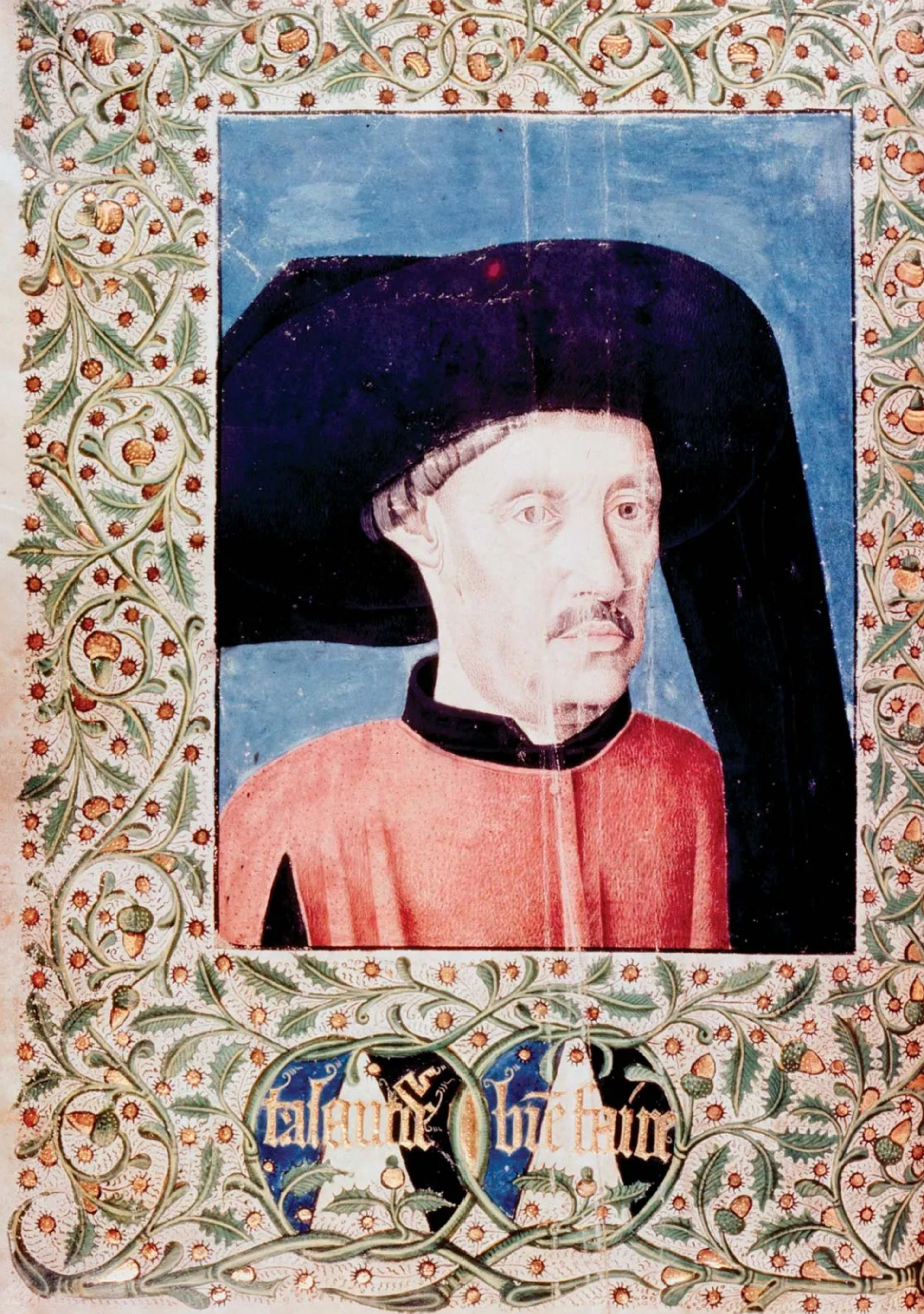
Prince Henry the Navigator. Public domain, Encyclopaedia Britannica.
Although he did not embark on these sea voyages himself, the youngest son of the Portuguese royal family obtained Papal authorisation from Alfonso V to finance various ventures in the Atlantic Ocean and the western coast of Africa.
He championed the advancement of cartography, navigational tools, and was even responsible for some innovative new ship designs. Voyages under his sponsorship resulted in the European ‘re-discovery’ and subsequent colonisation of Atlantic archipelagos, such as Madeira and the Azores.
You can find out more about Henry the Navigator here.
A considerably darker dimension accompanied this era of exploration; Henry spearheaded Portugal's early and violent participation in the African slave trade.
Henry the Navigator systematically dispatched expeditions to survey West Africa's coast, extracting and exploiting valuable resources. In around 1440 - at the time of the first capture of African slaves by Portugal - Henry set in place policies that eliminated the possibility for men and women to escape slavery, dismantling earlier practices that permitted individuals to gain freedom.
While other nations had engaged in African slave trading long before, this public display acted as a catalyst for the massive human tragedy that unfolded over subsequent centuries. Between 1441–1836, Portugal transported 5.8 million African captives across the Atlantic to the Americas.
The slave trade brought immense wealth and fame to Prince Henry. He was widely acclaimed for securing a new revenue stream, disrupting Islamic trade networks, and introducing people to the Christian faith under the guise of ‘saving their souls.’
You can learn about the Transatlantic slave trade here.
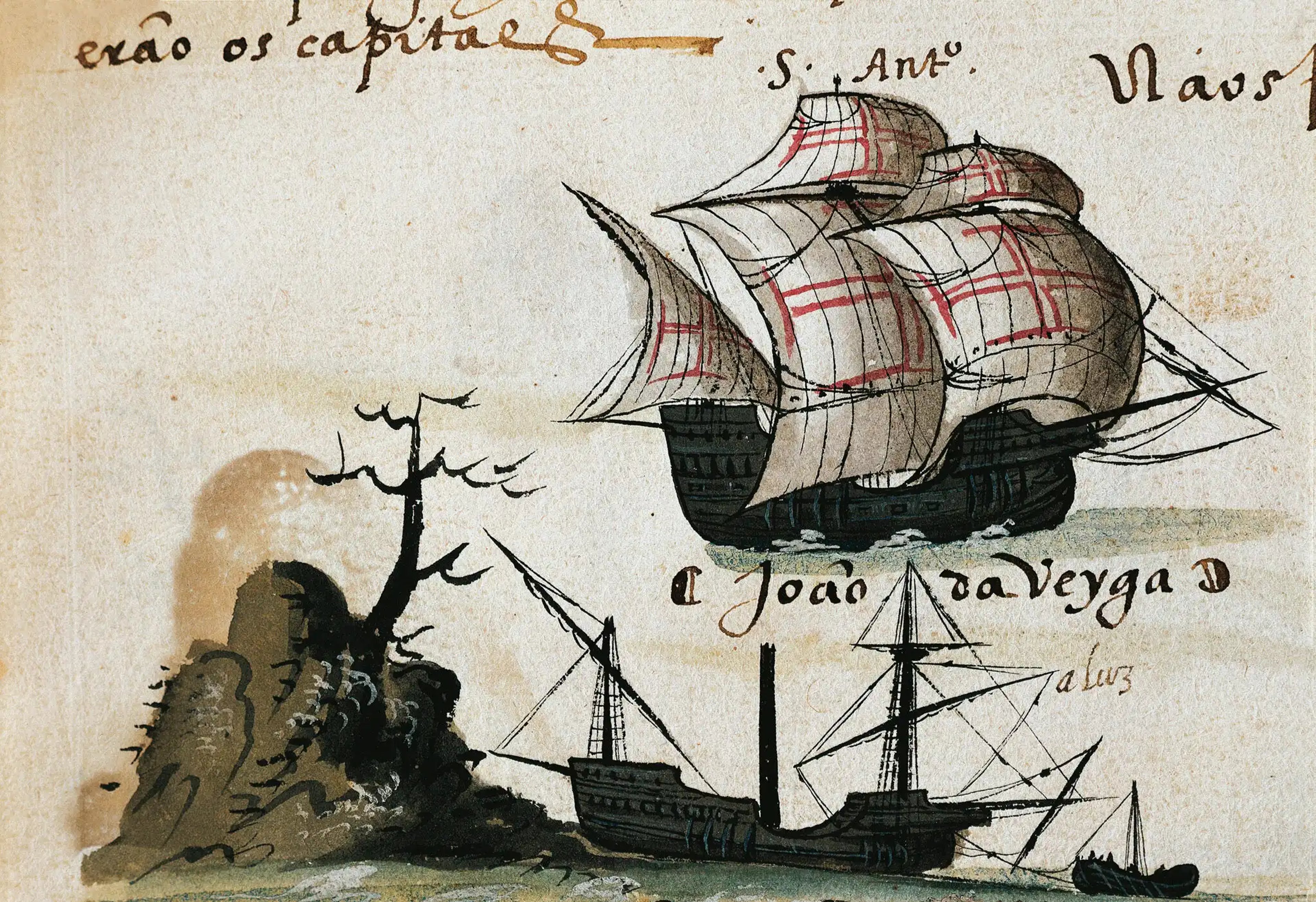
A Portuguese Caravel (c.1506). Source: National Museum of African American History and Culture
While Prince Henry established the groundwork for subsequent Portuguese maritime explorations - and the Transatlantic slave trade -, it was King John II of Portugal (1455-1490) who would commission voyages later in the fifteenth century in an attempt to discover the southern boundary of the African continent.
Diogo Cão (fl. 1480-1486) became the first explorer commissioned to take on this southerly expedition. He only reached as far Cape Cross - a headland on Namibia’s Skeleton Coast, aptly named after the numerous sunken shipwrecks in its coastline.
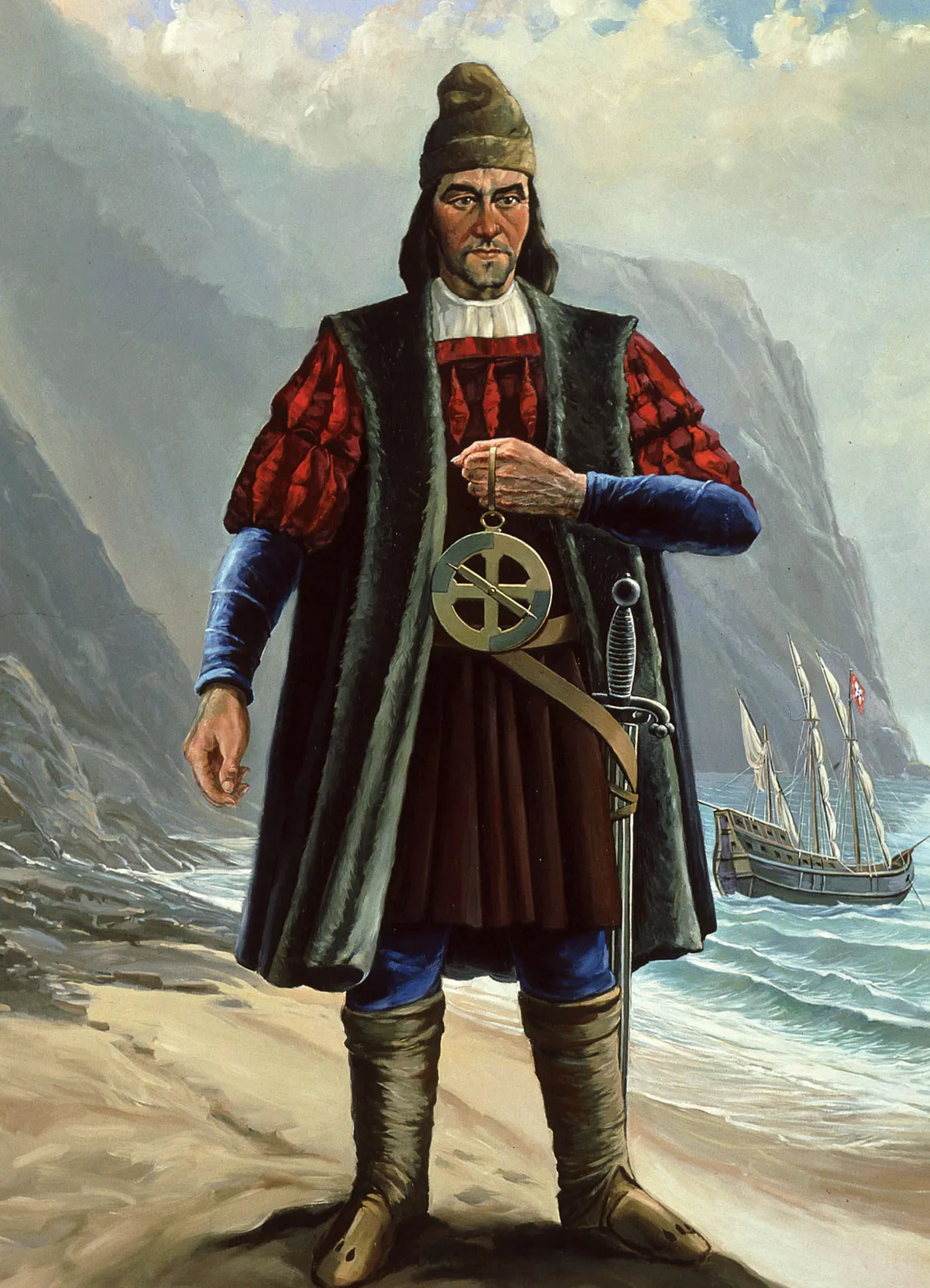
Public Domain, Encyclopædia Britannica
Bartolomeu Dias (c.1450–1500) would become the first successful navigator around the Cape of Good Hope in Southern Africa, establishing a direct oceanic route to Asia across the Atlantic and Indian Oceans. Little is known about the life of Dias but for his maritime achievements.
In August 1487, Dias set sail from Lisbon with a fleet of three vessels: the Sāo Cristovāo, the Sāo Pantaleāo, and an accompanying supply ship. To address the resource shortages that plagued earlier expeditions, a fourth vessel was loaded with essential provisions such as fresh water to accompany them on the journey.
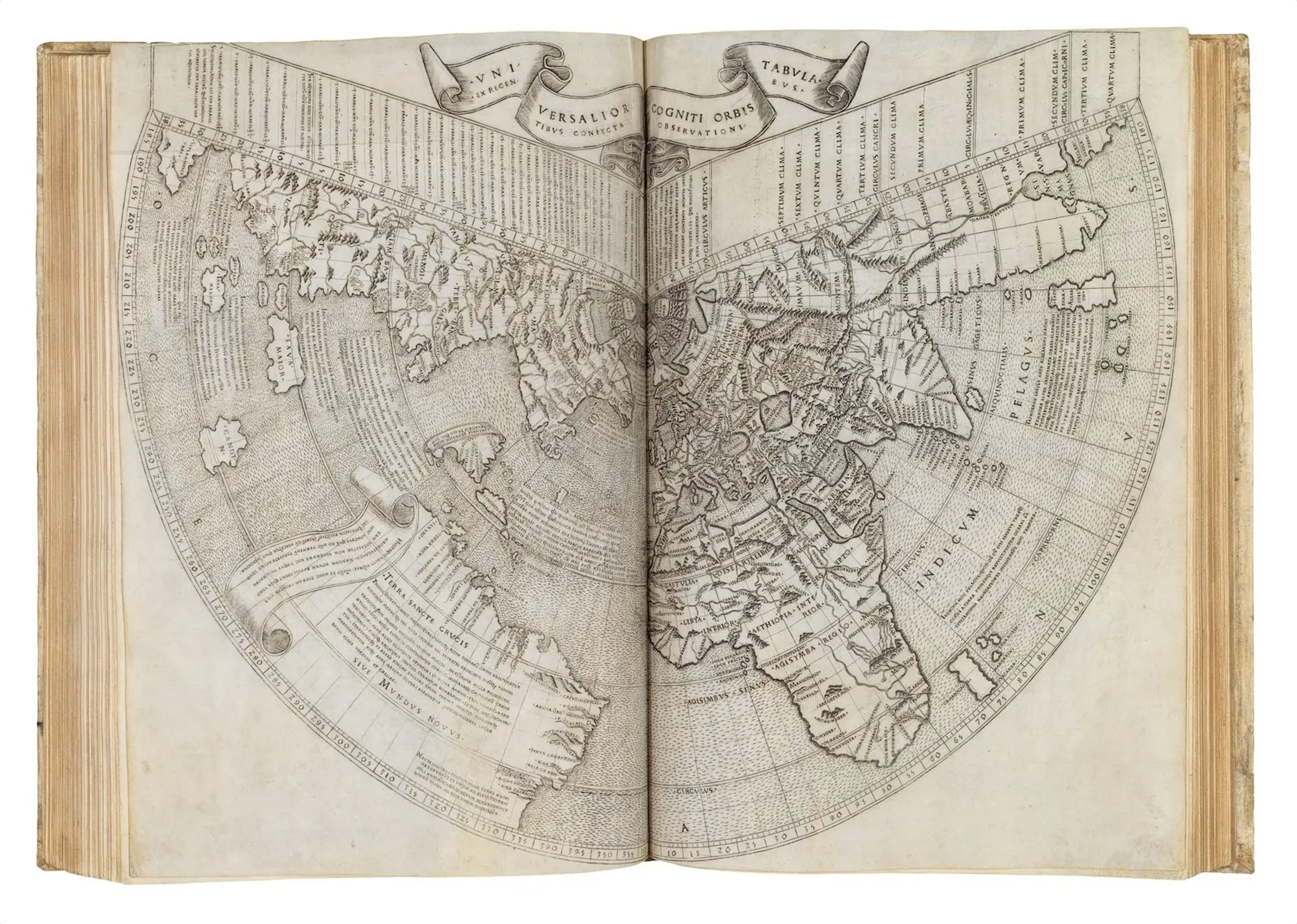
Johann Ruysch’s world map (1507). The earliest map in The Sunderland Collection to show the southern tip of Africa
The expedition faced many obstacles, particularly in navigating powerful coastal currents. To bypass the strong Benguela Current, Patricia tells Jerry - a keen sailor - the fleet had to venture deep into the open sea before executing strategic zig-zag manoeuvres - a technique taught today as "Current Sailing" in Lesson 11 as part of U.S. Naval Training.
Battling fierce storms, Dias and his crew successfully rounded Africa's southern tip, though the crew remained unaware as they never sighted the coastline. After their arduous voyage, they finally reached Port Elizabeth - but on the verge of mutiny. Pushing onward along the southern coast, the crew passed into the warm waters of the Indian Ocean, marking the historic circumnavigation of the Cape.
Although Dias intended the journey to continue further east, extreme weather, hunger, and unrelenting hardship brought the crew to a revolting halt. Confronted by their refusal to continue, Dias had no choice but to head home. On their return, King John II renamed the southern limit of Africa ‘Cabo da Boa Esperança’, or the ‘Cape of Good Hope.’
By completing this extraordinary voyage, Dias and his crew exposed the flaws of ancient geography, and - as Patricia tells us - this sparked an intense debate in Portugal between traditional doctrine and first-hand experience. This shift marked the beginning of an intellectual revolution that proved classic cartography and ancient chronicles fundamentally wrong.
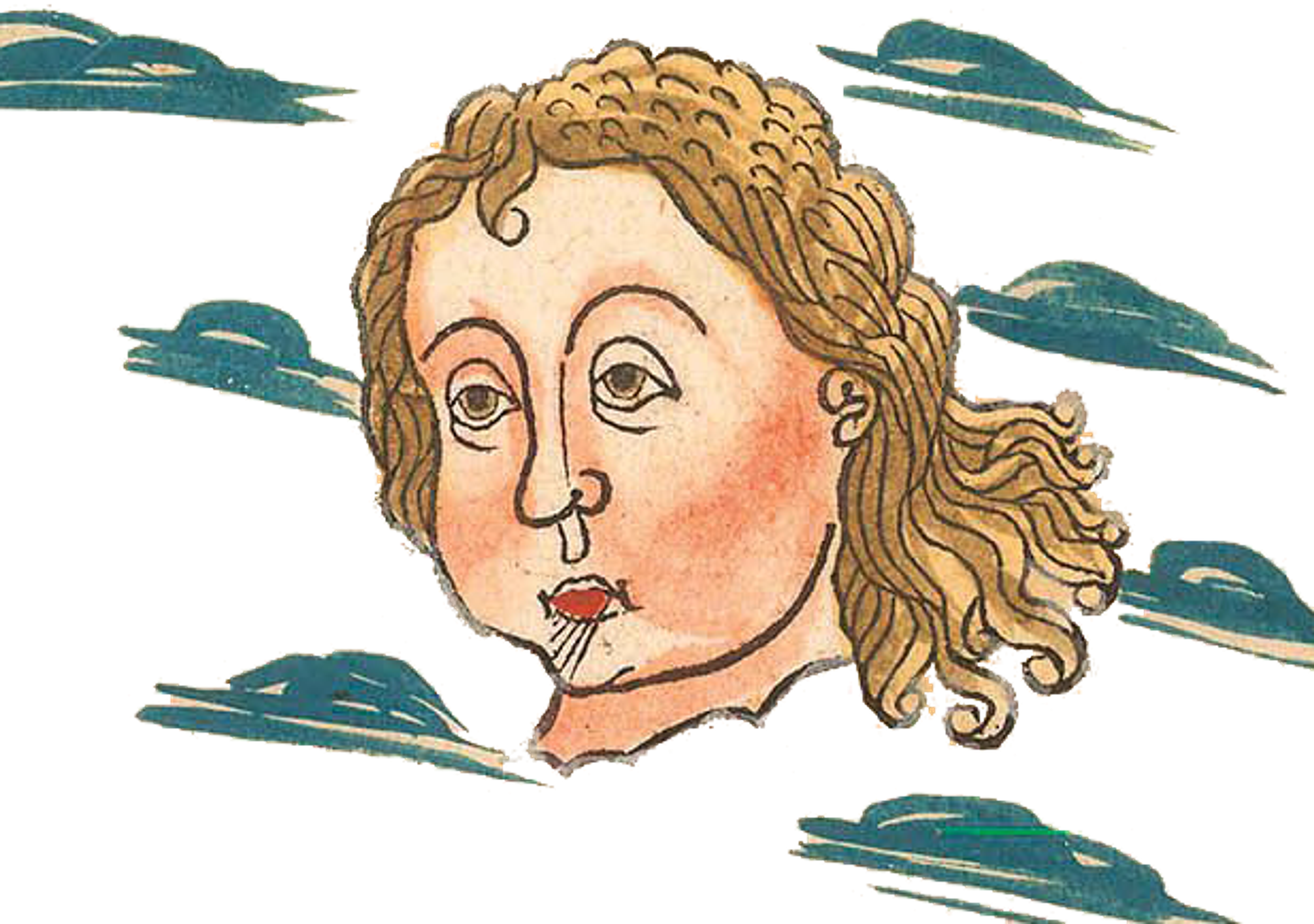
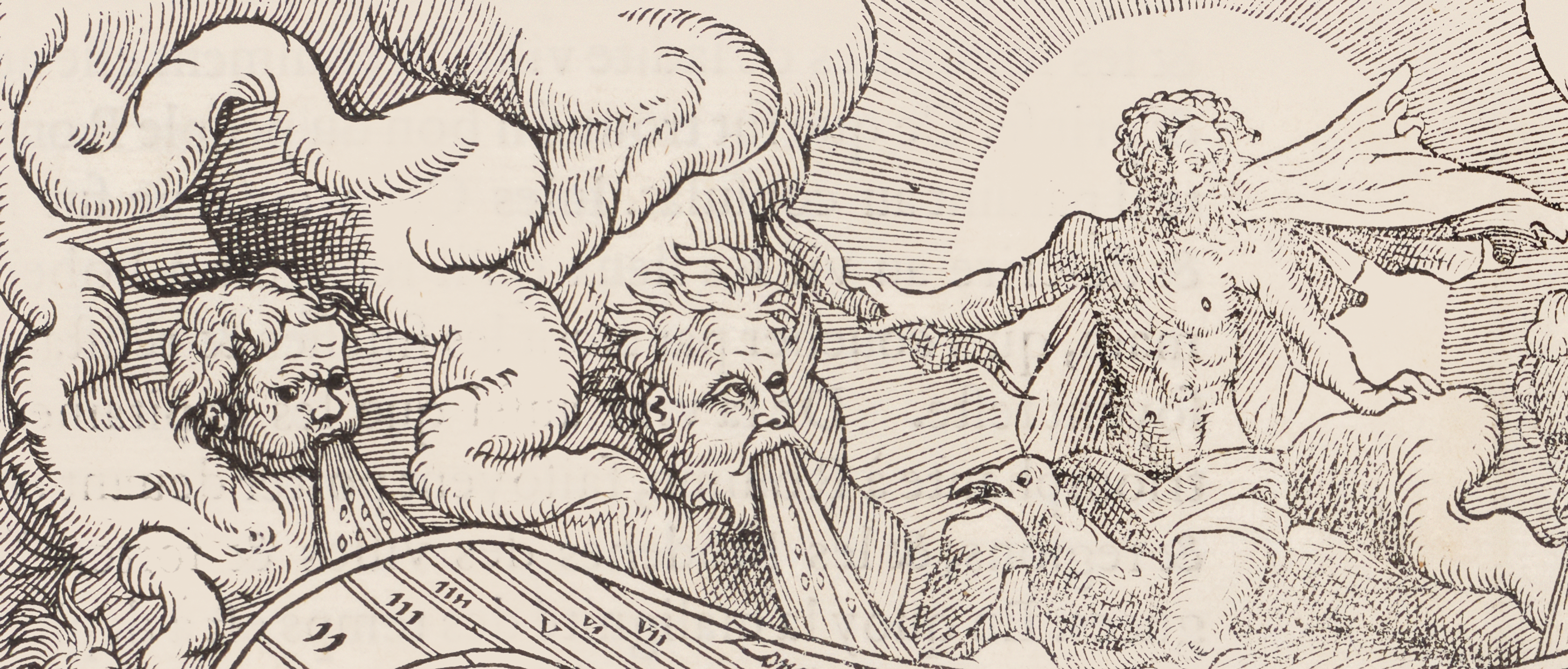
Windhead from Johann Regar’s updated Ulm Ptolemy (1486)
About Patricia Seed
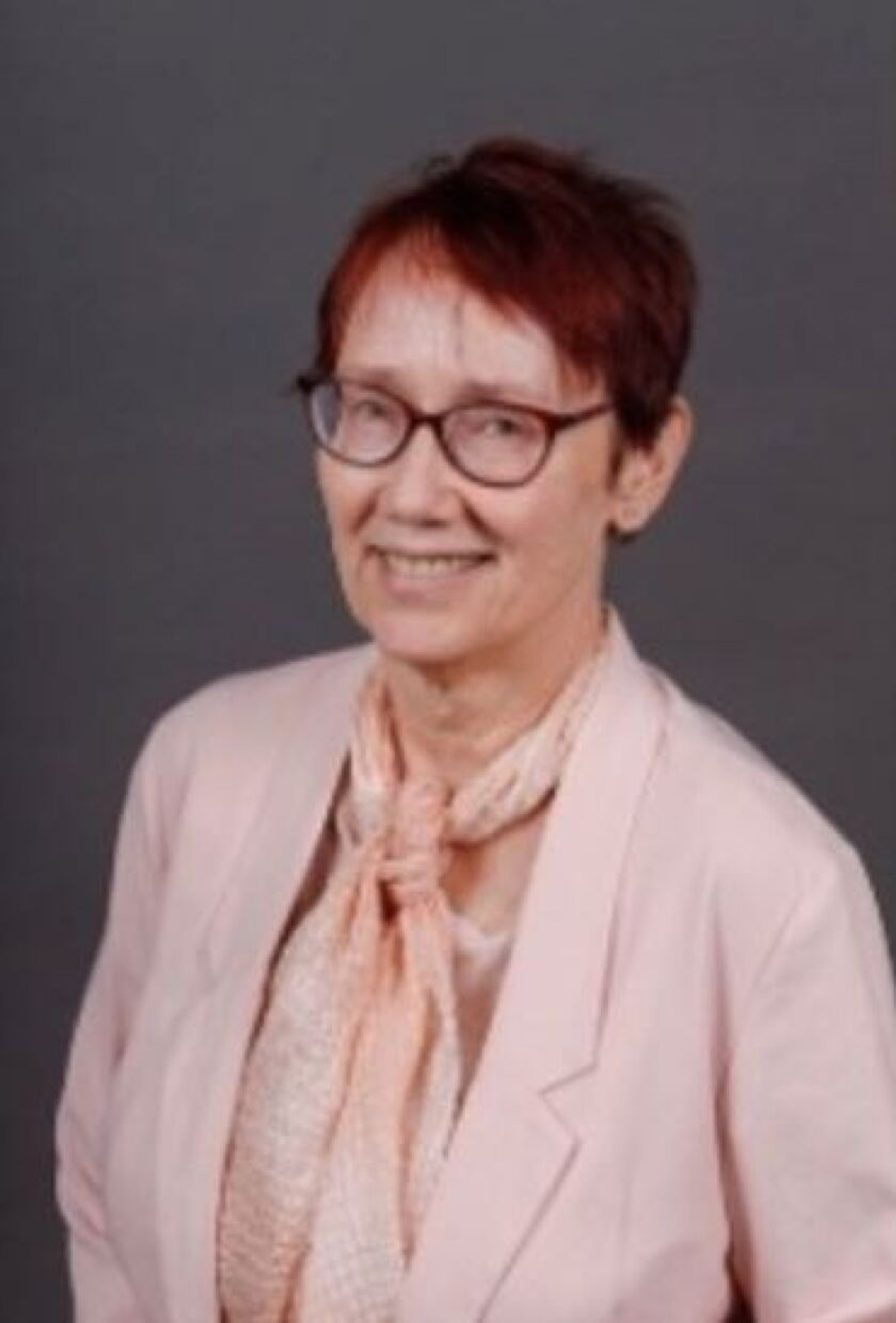
©Patricia Seed
Patricia Seed is an American historian and professor in the University of California, Irvine's Department of History.
An expert in the history of navigation and cartography, she is the leading authority on the role of latitude in historical maritime maps. Her area of expertise focuses on Early Modern and colonial European history, with a particular emphasis on Spanish- and Portuguese-speaking cultures. Patricia also specialises in languages and Geographic Information Systems (GIS). She started working with maps in 1999 and fell in love with map making during her time at Rice University.
Having begun her career as a dancer, she developed a unique spatial awareness that informs her approach to cartography. Intriguingly, she has noticed that a significant number of women in the field of cartography share a background in dance and choreography!
She is the award-winning author of To Love, Honour, and Obey in Colonial Mexico (1988); Ceremonies of Possession in Europe's Conquest of the New World, 1492–1640 (1995) and American Pentimento: The Invention of Indians and the Pursuit of Riches (2001). Her most recent book Sails and Shadows: How the Portuguese Opened the Atlantic and Launched the Slave Trade was named a Kirkus Best Book of 2025.
Why not continue your exploration of the wonderful world of maps by subscribing to the podcast? That way you will never miss an episode.
Feel free to let us know - What's YOUR Map?!
All views and opinions expressed by guests on the podcast are entirely their own and do not represent those of The Sunderland Collection or Whistledown Productions.